D
Deleted member 18083
Guest
Art…Is the time shown 6:45 am correct?
The photo was taken near Brisbane Airport at approximately 34 minutes after sunrise.
Right click a photo in our EBR forum and choose "Open in new window."
In the address bar you'll see the photo's file name:
- 2021-05-04-064812-2400.jpg
- YYYY-MM-DD-hhmmss-pixels.jpg
Of course, photo files can be named anyway one chooses but the truth will still be recorded in the metadata:
The GPS data (courtesy of my iPhone) indicates that where the photo was taken (very close to Brisbane Airport) is just over 3º east of the line of longitude (150ºE) for Australian Eastern Time (UTC+10). In effect Brisbane has 12 minutes of 'daylight-losing' or 'winter time' all year round.
Old Curmudgeon's Gripe: I detest Apple's insistence on replacing numerical dates with yesterday, today and tomorrow. In a week from now anyone who looks at the predominantly black screenshot above won't have a clue what date was being referred to as 'Today'. Stop it, Apple!
Last edited by a moderator:


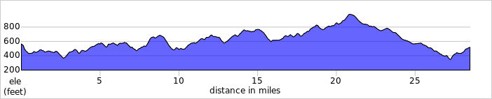
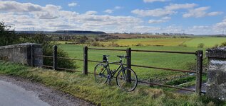
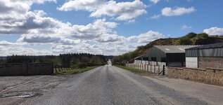
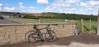
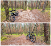
") I wouldn't enjoy it on my road bike, I was in pain watching you!
I wouldn't enjoy it on my road bike, I was in pain watching you!