Spent a few days over the hill in the Lycra part of the county (apologies to Mr. Coffee) and chose a state park for base camp. I tried to get to Mazama, WA off highway but ended up on a trail which had too many whoop de doos for my Galoompa Loompa style bike and my riding. I went mapless and turned around thinking I was probably on the correct forest road but had not seen anybody else. Being alone, I listened to the conservative part of my brain, did the safe thing and turned back. I was afraid that I might end up in the Twisp River Valley instead of Mazama. A look at a trail map included in the newspaper I bought on the way back to camp showed that I was on the correct road. So, next time I shall bail off the trail and go on the Wolf Cr. road.
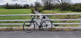
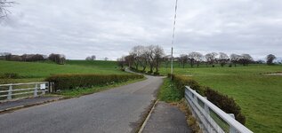
That, turned into This. This was still pleasant and with the river right there, no map was needed.
Then, the trail veered away and went back to road. I almost rode past another part of the trail, and had I done that, would have ended up where I wanted to go. Instead, the trail followed an old road and had some steep parts where I ended up pushing the Galoompa Loompa bike up the last bits. This is where I decided that being alone and not seeing anybody else might not be a good thing so I turned back. But first, I dug my smooshed up sandwich out of the bottom of the pack, and munched on it whilst contemplating the sunflowers, which are really not sunflowers but are Arrowleaf Balsam Root, but we call them sunflowers.

I left the trail where it intersected with a former logging landing. Knowing a bit about such things, I knew that the access road there would take me to a more traveled road, which it did. I just didn't know which road I was on but turned and headed back at that point. THAT was where I should have been in the first place and would have taken me to where I wanted to go. I rode back the way I came and near the campground, saw a sign saying Lake Cr. Trailhead. I could not resist so turned. The trail allowed bikes so I started out. It was single track and I met lots of non-lycra clad dog walking folks who were very polite, as were their dogs. They actually got off the trail and let me by. It must be my non-threatening Galoompa Loompa bike? I rode on, again not knowing for sure where I'd end up, but thinking it had to be where I wanted to end up. I ended up pushing the bike for short bits where the trail was narrow with a steep drop on one side, and where I failed to get a fast enough run at a hill, or where there were pointy, sharp rocks. The trail undulated and went on along the lake. The flowers were at peak bloom in this area. This is looking back towards where I came from.

More flowers.
Is this the end yet? No it was not.
It was not too much farther. I made it back to "base camp" and then took my Demon Dog out for a trot. All in all, it was an enjoyable ride and I shall return, with my map.


