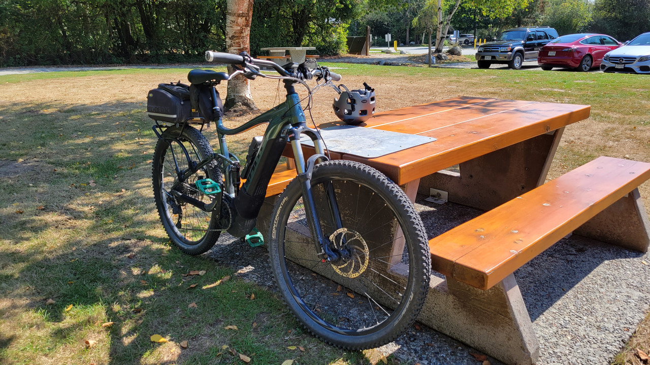
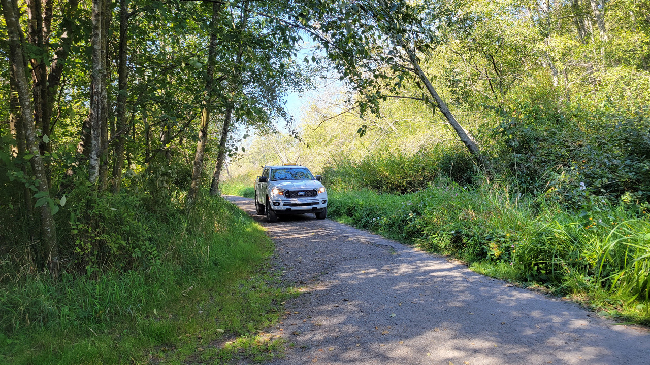
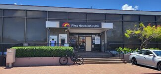
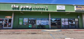
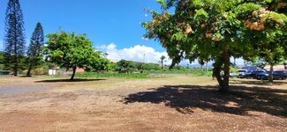
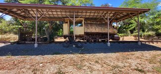
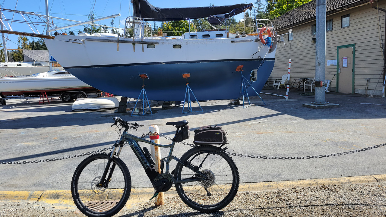
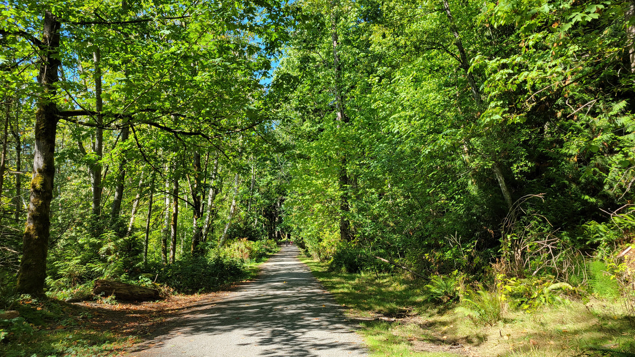
Show us pictures of where you ride your ebikes!

IMG_4477.jpeg
IMG_4713.jpeg

I ride around the start of the Scottish Highlands. Here's a couple of my favourite places - they are lonely quiet places and I usually get them to myself.
 
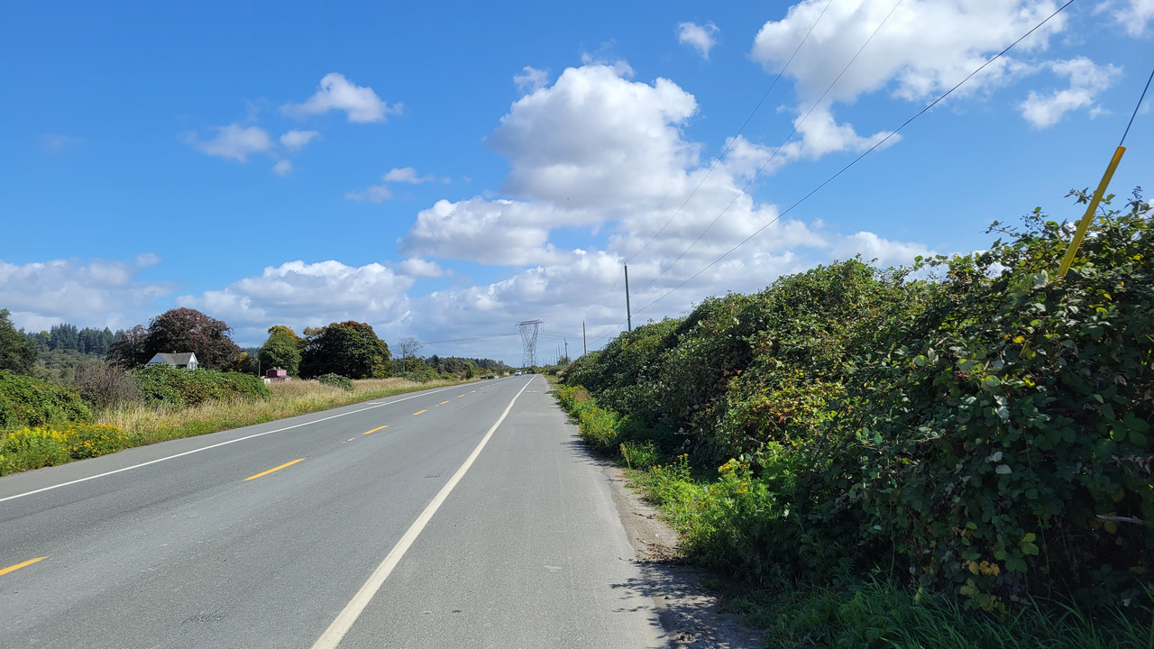
Today I had a plan to do a circumnavigation of Delta. That would include a stop at the office to say HI and antagonize those working. HA!
But... it was windy as heck. The wind was coming from the West, and heading West was miserable at Mud Bay. So...
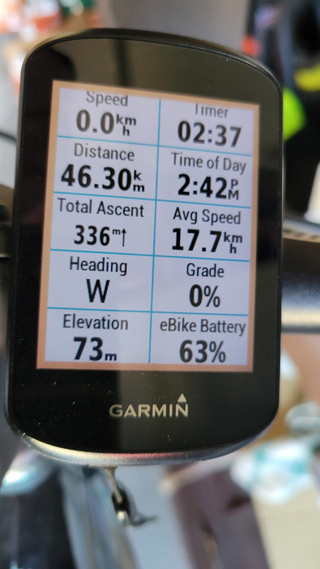
As I headed South I decided to head East. Ahhh... the wind was with me... I had to get to 30km/h to even feel wind in my face!


Then headed South again to South Surrey...

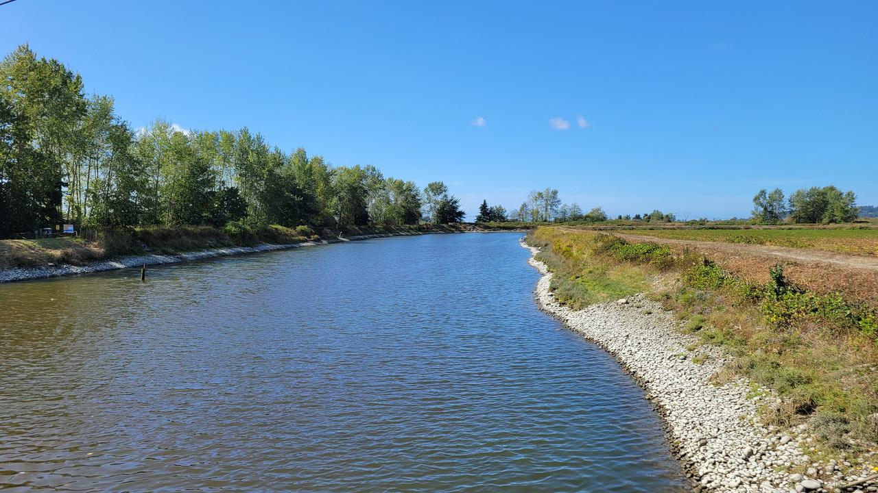
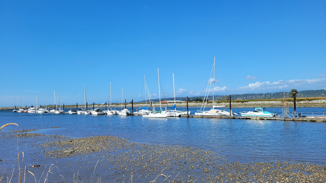
Serpentine River that feeds Pacific Ocean...


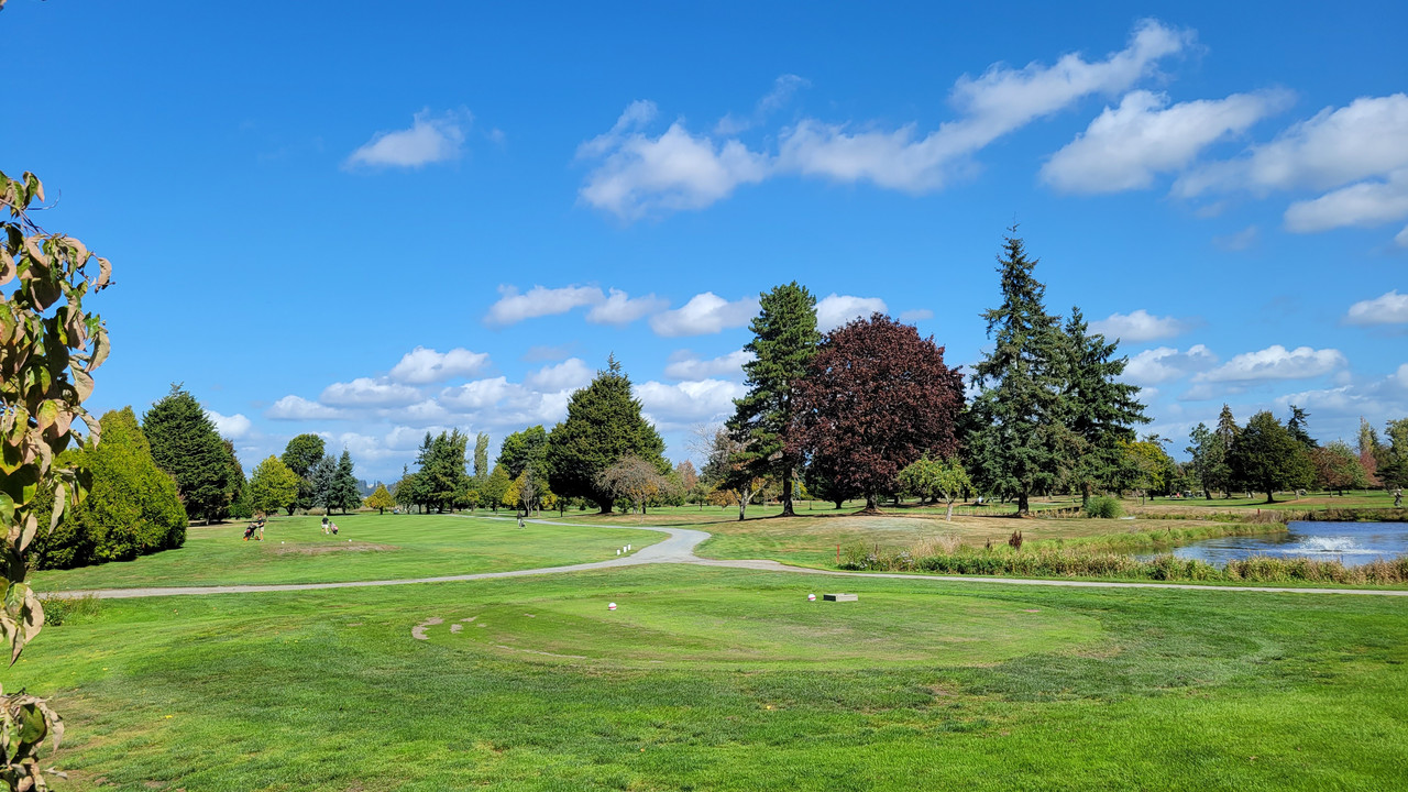
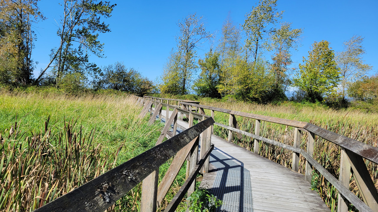
Nico Wynd Golf course...


Nicomeckl River feeding the Pacific Ocean...


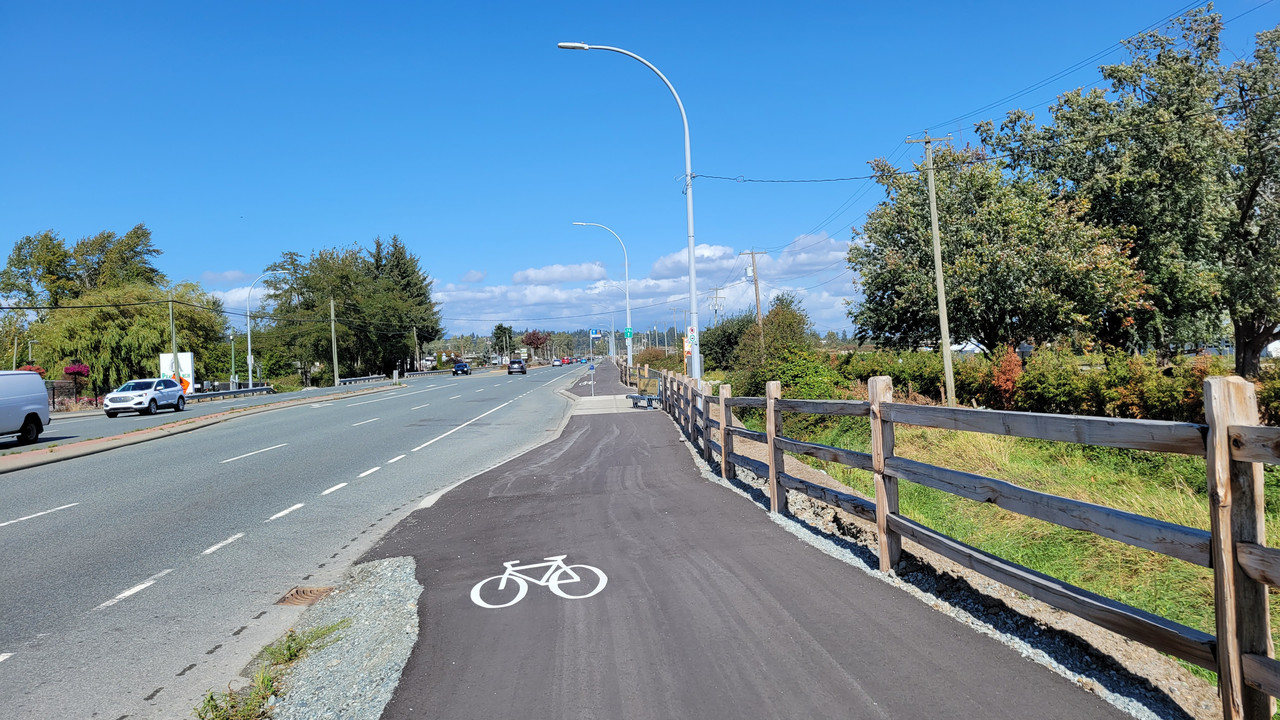
Now THAT'S a bike lane!


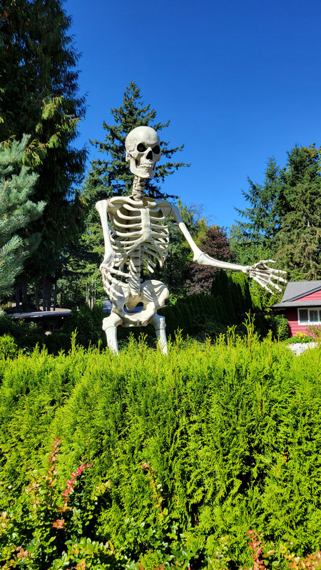
Too soon!!!


Done like dinner...

 
Took to the road again today and knocked off 40 +km. Bike infrastructure is decently marked inside city limits but that all changes once we hit the rural routes.

PXL_20230919_175932523.MP.jpg


We live in such a disposable society. I found these along the side of the road. Small batteries like these might seem benign but that doesn’t mean you should just toss them out the window. :mad:

PXL_20230919_193135637.jpg


The fresh blacktop along our route now has centerlines but could have done with a bit more space along the side shoulders. Fortunately, traffic along this stretch of road is relatively light.

GH012450 - frame at 0m34s.jpg

PXL_20230919_182436526.MP.jpg


My better half punches her way through the round-a-bout along MacKenzie Road.

GH012454 - frame at 0m13s.jpg


A row of what seems to be vertical storage tanks used in the oil field services industry.

PXL_20230919_183451756.MP.jpg


Get ‘er done! 👍

PXL_20230919_184220701.jpg


Bobcat sightings are rare around here but once in a while, if you're lucky, you can catch one of these shy creatures out in the open.

GH012456 - frame at 0m9s.jpg


But, but, but, officer…..This guy had some explaining to do as he blew past us in his beater ford pickup. I estimate he was doing well over to 80 in a 60 kph zone.

GH012455 - frame at 0m46s.jpg


As we headed south in the opposite direction along the rural route, the same patrol officer strategically parked his truck behind a grove of trees. We both gave him an appreciative wave as we passed by him. 👋

GH012457 - frame at 0m39s.jpg


My Varia needs a recharge every second ride so it might be time to give up on it. :(

PXL_20230917_192428164.jpg
 
Took to the road again today and knocked off 40 +km. Bike infrastructure is decently marked inside city limits but that all changes once we hit the rural routes.

View attachment 162933

We live in such a disposable society. I found these along the side of the road. Small batteries like these might seem benign but that doesn’t mean you should just toss them out the window. :mad:

View attachment 162936

The fresh blacktop along our route now has centerlines but could have done with a bit more space along the side shoulders. Fortunately, traffic along this stretch of road is relatively light.

View attachment 162934
View attachment 162935

My better half punches her way through the round-a-bout along MacKenzie Road.

View attachment 162937

A row of what seems to be vertical storage tanks used in the oil field services industry.

View attachment 162938

Get ‘er done! 👍

View attachment 162939

Bobcat sightings are rare around here but once in a while, if you're lucky, you can catch one of these shy creatures out in the open.

View attachment 162940

But, but, but, officer…..This guy had some explaining to do as he blew past us in his beater ford pickup. I estimate he was doing well over to 80 in a 60 kph zone.

View attachment 162941

As we headed south in the opposite direction along the rural route, the same patrol officer strategically parked his truck behind a grove of trees. We both gave him an appreciative wave as we passed by him. 👋

View attachment 162944

My Varia needs a recharge every second ride so it might be time to give up on it. :(

View attachment 162945
Great pics!
I hate littering!
Wonder what the heck is in those storage tanks?
 
Great pics!
I hate littering!
Wonder what the heck is in those storage tanks?
Thanks Dave. The tanks belong to Schlumberger who are a huge player in the oil patch. I kind of think that they're used to store drilling fluid but I could be wrong. BTW, a bit out of character for me to post this in the, 'Where you ride your ebike thread' since this was an analog ride. Will try and make up for it over the coming week. 😇
 
Last edited:
Thanks Dave. The tanks belong to Schlumberger who are a huge player in the oil patch. I kind of think that they're used to store drilling fluid but I could be wrong. BTW, a bit out of character for me to post this in the, 'Where you ride your ebike thread' since this was an analog ride. Will try and make up for it over the coming week. 😇
You sir are excused of your transgression. 🤣
 
The display on my bike has a USB port on it, I have splitter cable attached to it, and one end plugged into my GoPro (it's battery is old and impossible to replace) and my Garmin GPS. I've never had a problem with either device running out of power.
This ride was on my non powered road bike. The Varia is attached to the seat post and won’t function if it’s hooked up to a separate power bank.

My wife’s Cannondale Synapse has a smart sense battery attached to the bikes downtube. It powers both the Varia radar/light as well as the front mounted light on her drop bar.

IMG_20220804_1705324.jpg
 
After a year of paranoia, starting to get comfortable about leaving my (locked) ebike unattended to run errands — not everywhere, but in more and more places near our home. Today's errand was a UPS package drop.

20230919_173152.jpg

Then off to spend some quality time with the Pacific, first at South Ponto Beach (above) and then at Beacon's Beach.

20230919_164948.jpg

20230919_165026.jpg

From an overlook above South Ponto in south Carlsbad, looking north toward Oceanside and dark Saddleback Ridge beyond.

Between a tenacious marine layer and 2 unseasonal storms, August was every bit as hazy and gloomy as June. This was the brightest sun and clearest air we've seen since July. Razor-sharp horizon for a change. And in the original photo, you can even make out the Oceanside Pier, some 9 mi distant.

20230919_165756.jpg

Orderly 12-second swell marching in — likely from a now-deceased western Pacific or Southern Ocean storm thousands of miles from here when the swell was emitted days before.

The swell wasn't all that high, but surfers found a decent break on the rocky reef off the jetty protecting the mouth of Bataquitos Lagoon. (Third photo from top.)

20230919_173243.jpg
20230919_173301.jpg

Down at beach level, a typical late-afternoon gathering of gulls on the sand — like the humans, most facing straight out to sea, motionless. Internet sources differ as to why gulls in particular do this when most other shorebirds don't. But it's a very common sight along the California coast nonetheless.

20230919_171455.jpg

Then on to the bluff overlooking Beacon's Beach in adjacent north Encinitas.

20230919_171225.jpg

See that farthest brown house?

20230919_171259.jpg

Down the cliff, it has its own heavily fortified seawall with a private terrace on top.

20230919_171251.jpg

Pretty spectacular setting, no? Problem is, the cliffs all along here are failing as they're undercut year after year by powerful winter storm waves riding in on high tides to smash directly against their bases. Sea level rise will accelerate the process. That seawall will only delay the inevitable, but what a place to live in the meantime!
 
Last edited:
After a year of paranoia, starting to get comfortable about leaving my (locked) ebike unattended to run errands — not everywhere, but in more and more places near our home. Today's errand was a UPS package drop.

View attachment 162955
Then off to spend some quality time with the Pacific, first at South Ponto Beach (above) and then at Beacon's Beach.

View attachment 162952
View attachment 162963
From an overlook above South Ponto in south Carlsbad, looking north toward Oceanside and dark Saddleback Ridge beyond.

Between a tenacious marine layer and 2 unseasonal storms, August was every bit as hazy and gloomy as June. This was the brightest sun and clearest air we've seen since July. Razor-sharp horizon for a change. And in the original photo, you can even make out the Oceanside Pier, some 9 mi distant.

View attachment 162968
Orderly 12-second swell marching in — likely from a now-deceased western Pacific or Southern Ocean storm thousands of miles from here when the swell was emitted days before.

The swell wasn't all that high, but surfers found a decent break on the rocky reef off the jetty protecting the mouth of Bataquitos Lagoon. (Third photo from top.)

View attachment 162951View attachment 162950
Down at beach level, a typical late-afternoon gathering of gulls on the sand — like the humans, most facing straight out to sea, motionless. Internet sources differ as to why gulls in particular do this when most other shorebirds don't. But it's a very common sight along the California coast nonetheless.

View attachment 162967
Then on to the bluff overlooking Beacon's Beach in adjacent north Encinitas.

View attachment 162964
See that farthest brown house?

View attachment 162965
Down the cliff, it has its own heavily fortified seawall with a private terrace on top.

View attachment 162966
Pretty spectacular setting, no? Problem is, the cliffs all along here are failing as they're undercut year after year by powerful winter storm waves riding in on high tides to smash directly against their bases. Sea level rise will accelerate the process. That seawall will only delay the inevitable, but what a place to live in the meantime!
I miss Cali... :)
 
Good news! We all just took a vote, and you're welcome to come back! Not by a big margin, but better than ours.
;^}

We left the Bay Area for Colorado 22 years ago and came back to SoCal last year. When and where did you live here?
Born in San Mateo/Redwood city.
Been back numerous times, but not in the last 20 years.
Drove from Vancouver to Mexico along the coast and back. It's in my bones... :cool:
 
What started out as a 30+km ride ended up as 56km or so.
I went against my better judgement and took a new and foreign route.
Started with a familiar destination (Tynehead Park) and when I got there the desire to go further kicked in...
I didn't stop at the park, I just kept going.
This is the beginning of the greenway that heads East...


Attention Walmart Shoppers!


I passed Tynehead and continued along 96th ave until I got to Hwy 15 (176th Ave). This is looking south from that intersection...


I've never ridden this, but this river is familiar...


I went South from 96th Ave to 32 Ave. This is looking West on 32nd Ave. MMMMmmmmm... Garlic...


Looking East over Hwy 99...


The long and not winding Colebrook road...


Back to the paths on my way home...


Oh yes... one more pit stop...


Et Fini...

 
Let's share our Bio here and show pictures of where you ride. Show tool if you had to mend something onto your bike, on the field?
Bio?
I'm 66, and will be 67 in 4 days :)
I'm an old grey haired fat guy 🤣
So far I've only needed to use a multi tool to get my chain back on the chain ring.
 
Today I had a plan to do a circumnavigation of Delta. That would include a stop at the office to say HI and antagonize those working. HA!
But... it was windy as heck. The wind was coming from the West, and heading West was miserable at Mud Bay. So...
As I headed South I decided to head East. Ahhh... the wind was with me... I had to get to 30km/h to even feel wind in my face!


Then headed South again to South Surrey...

Serpentine River that feeds Pacific Ocean...


Nico Wynd Golf course...


Nicomeckl River feeding the Pacific Ocean...


Now THAT'S a bike lane!


Too soon!!!


Done like dinner...

Late to the party here but you were in my hood so I felt compelled to ask a question. Your photo of " now that's a bike path " makes me wonder how safe that would be. Driven by many times and always think if someone wasn't paying attention they'd fall off the side into highway traffic. Did it feel like that biking it ?? Also , here's another photo of the little bridge over that marsh:
Drone Test2A.jpg
 
Late to the party here but you were in my hood so I felt compelled to ask a question. Your photo of " now that's a bike path " makes me wonder how safe that would be. Driven by many times and always think if someone wasn't paying attention they'd fall off the side into highway traffic. Did it feel like that biking it ?? Also , here's another photo of the little bridge over that marsh:
View attachment 162990
Hey Pete, I can agree that it seems like a weird drop on the side. That said the path is so wide it felt comfortable to me. Also there's a 2-3 foot separation from the two lanes of traffic. Would it be better with a barrier? You bet! And I suppose a careless driver could wander up onto it as well, but that is something that could happen anywhere.
 
Back