Prairie Dog
Well-Known Member
- Region
- Canada
- City
- Red Deer
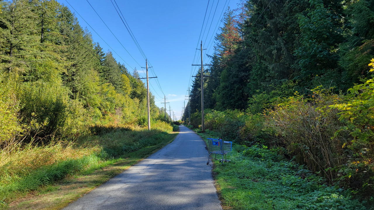
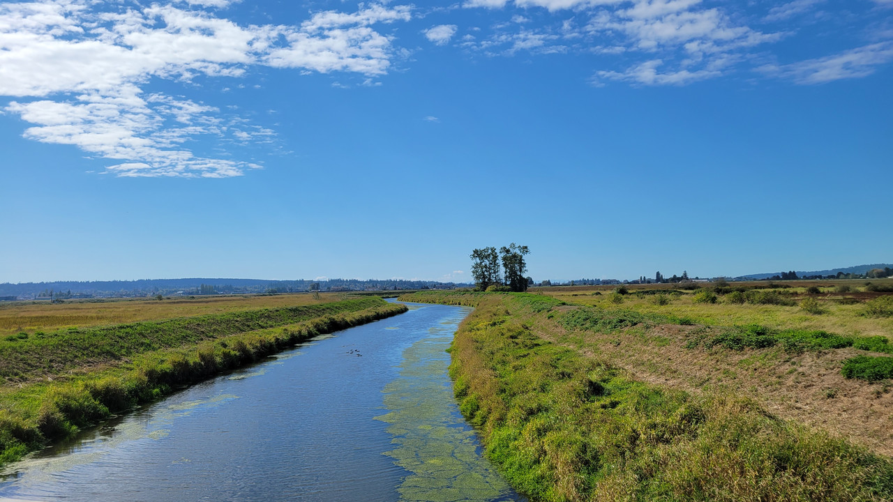
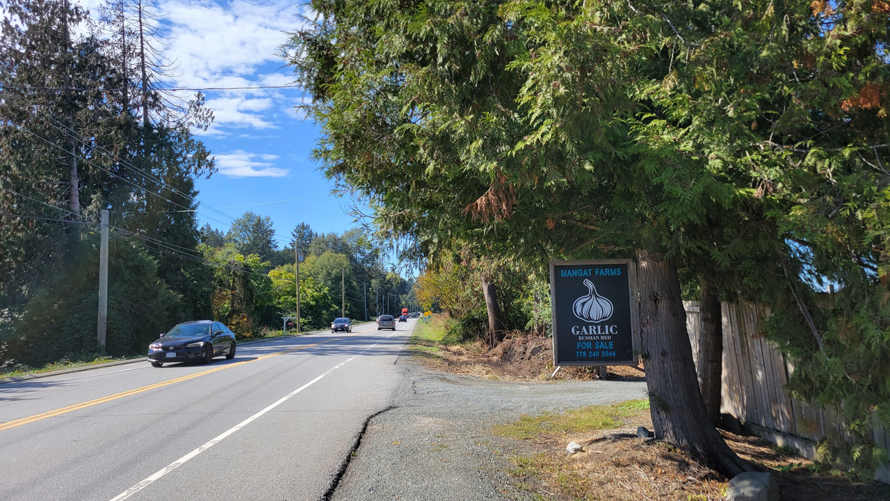
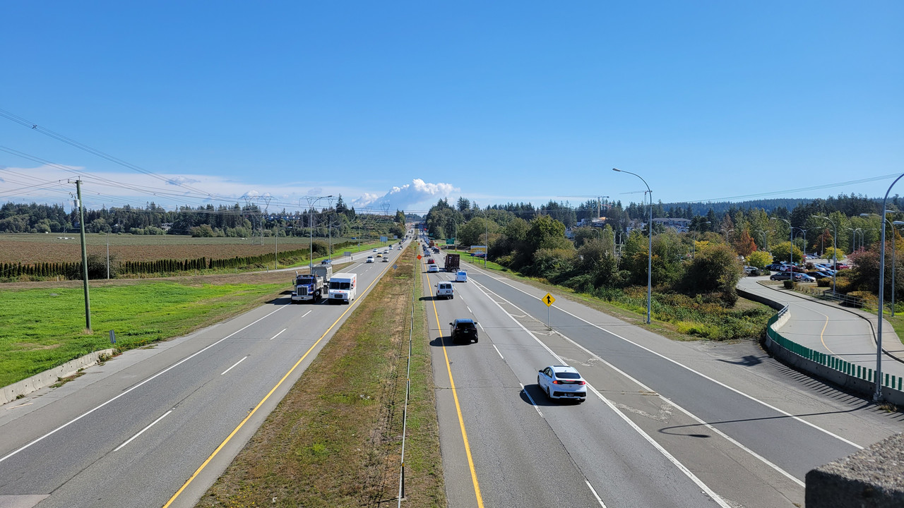
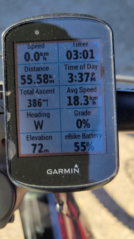
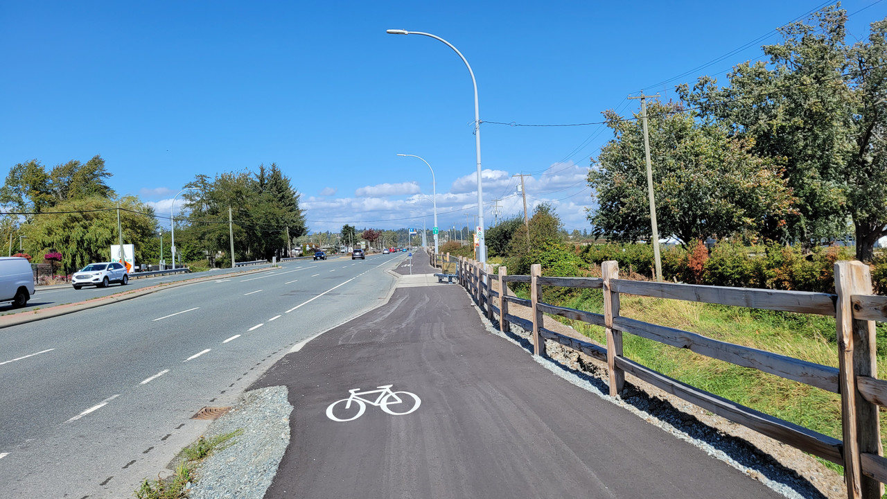
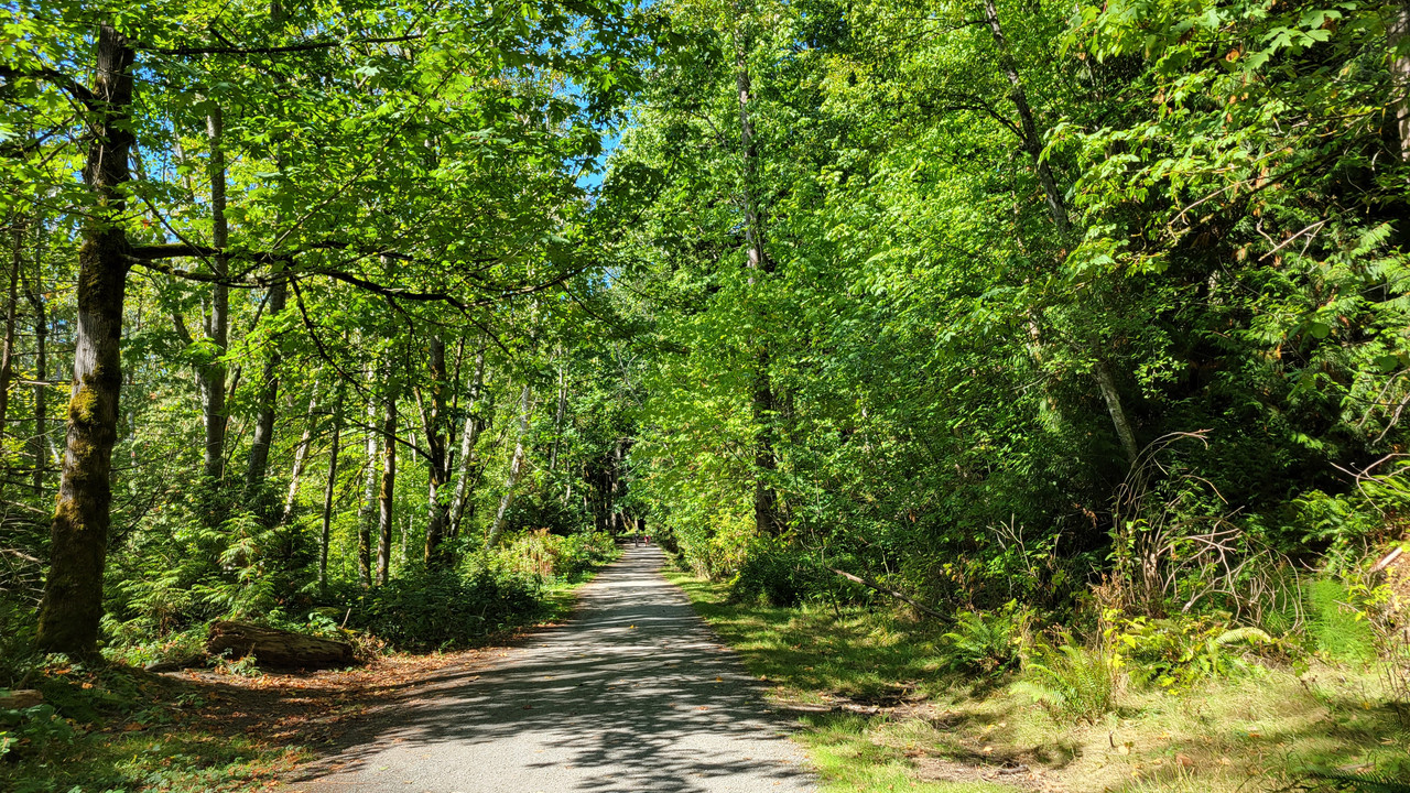
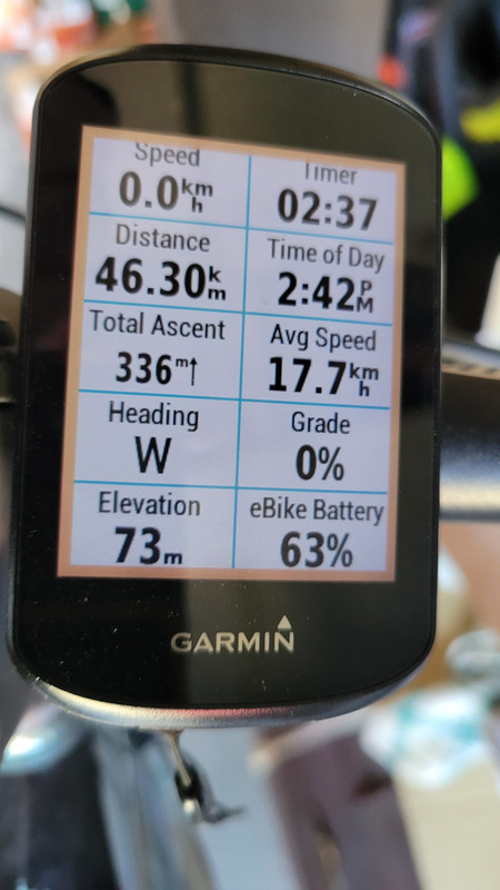
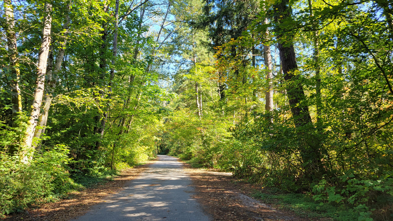
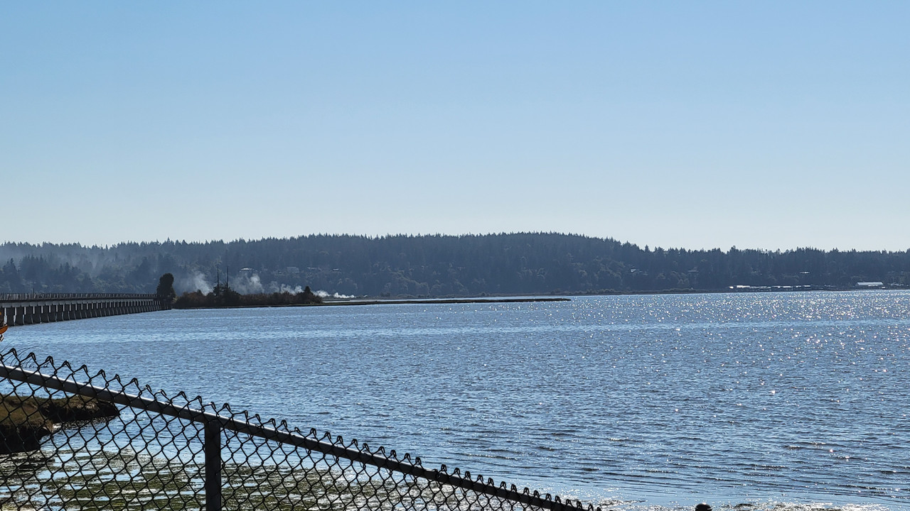
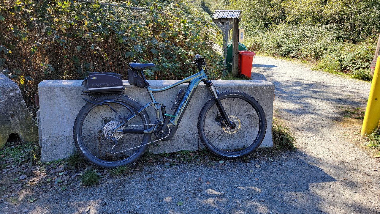
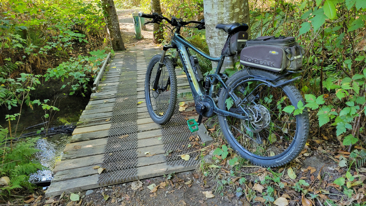
Took to the road again today and knocked off 40 +km. Bike infrastructure is decently marked inside city limits but that all changes once we hit the rural routes.

We live in such a disposable society. I found these along the side of the road. Small batteries like these might seem benign but that doesn’t mean you should just toss them out the window.

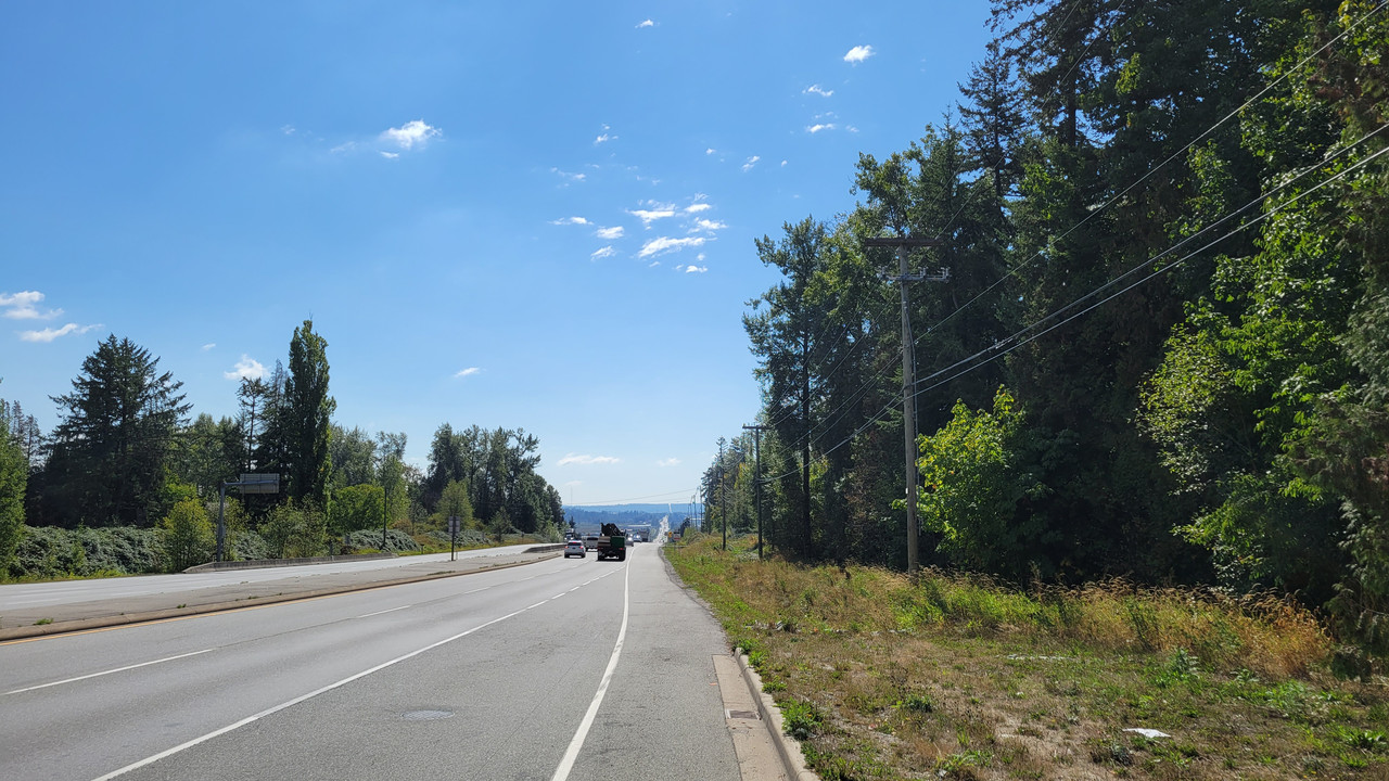
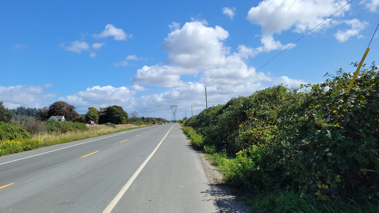
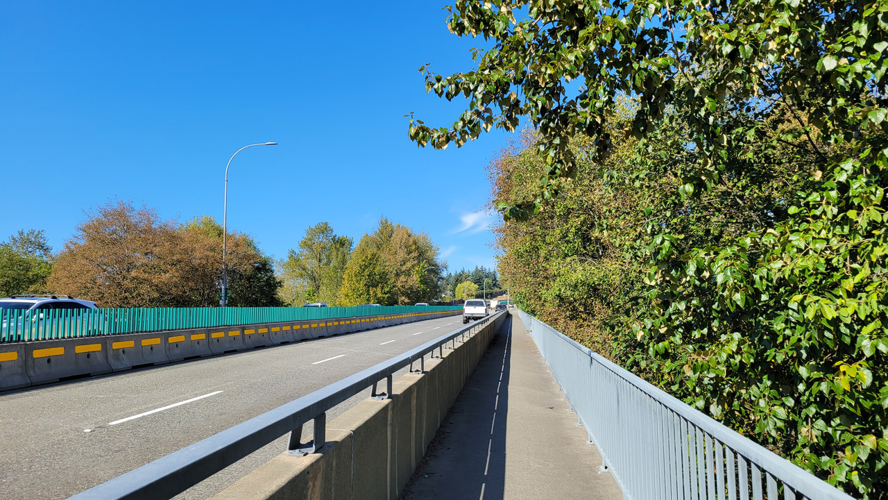
The fresh blacktop along our route now has centerlines but could have done with a bit more space along the side shoulders. Fortunately, traffic along this stretch of road is relatively light.


My better half punches her way through the round-a-bout along MacKenzie Road.

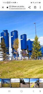
A row of what seems to be vertical storage tanks used in the oil field services industry.

Get ‘er done!

Bobcat sightings are rare around here but once in a while, if you're lucky, you can catch one of these shy creatures out in the open.

But, but, but, officer…..This guy had some explaining to do as he blew past us in his beater ford pickup. I estimate he was doing well over to 80 in a 60 kph zone.

As we headed south in the opposite direction along the rural route, the same patrol officer strategically parked his truck behind a grove of trees. We both gave him an appreciative wave as we passed by him.

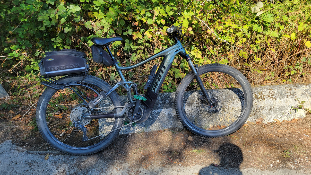
My Varia needs a recharge every second ride so it might be time to give up on it.

We live in such a disposable society. I found these along the side of the road. Small batteries like these might seem benign but that doesn’t mean you should just toss them out the window.
The fresh blacktop along our route now has centerlines but could have done with a bit more space along the side shoulders. Fortunately, traffic along this stretch of road is relatively light.
My better half punches her way through the round-a-bout along MacKenzie Road.
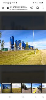
A row of what seems to be vertical storage tanks used in the oil field services industry.
Get ‘er done!
Bobcat sightings are rare around here but once in a while, if you're lucky, you can catch one of these shy creatures out in the open.
But, but, but, officer…..This guy had some explaining to do as he blew past us in his beater ford pickup. I estimate he was doing well over to 80 in a 60 kph zone.
As we headed south in the opposite direction along the rural route, the same patrol officer strategically parked his truck behind a grove of trees. We both gave him an appreciative wave as we passed by him.
My Varia needs a recharge every second ride so it might be time to give up on it.