Show us pictures of where you ride your ebikes!

Went for an 18km ride this morning. Stopped at Brandy Point and the River Centre for a few pics.

Lupines are in bloom.

ebike-and-lupines.jpg


A calm and misty morning at Brandy Point.

ebike-at-brandy-point4.jpg


The Coast Guard boat docked at the River Centre.

coast-guard-boat.jpg


The Brundage Point River Centre.

ebike-at-river-centre2.jpg
 
Just an epic ride. Wow . Just trying to 'grok' the height of that up close and personal. Only ever saw them in the distance.
 
I spent the last couple of years before I retired doing construction staking for a 60unit wind farm. They are impressive up close. The picture of me is standing at the base of a single blade, my wing span is 6 feet. This would be where the blade attaches to the hub. All three blades are attached to the hub then they put the entire thing on the tower with a large crane. The second picture is the large crane they use to install the sections of the tower and the blades. There is also smaller cranes used for assembly.
IMG_0512.jpeg
IMG_0518.jpeg
 
Apparently the tips of the blades are moving at just under the speed of sound of 720 mph.
They look like they're moving at 30 mph.

EDIT:
I heard wrong about that.

Apparently the tips of the blades can move up to 180 mph.
(But it still looks like 30 mph)

There are some smaller turbines nearby that have a faster RPM, but the tips are going slower at 80-100 mph.
 
My commute to work takes me through Cherry Creek State Park - if I can get there. We've seen some record rains here on the Front Range this year. I don't know if this is snowmelt or runoff from the rains last night - the same storm that produced a somewhat rare tornado for this part of the country. I've been riding this route for 3 years - never seen anything like it.

On the way in - easily enough to gobble up anyone stupid enough to test it.

flooded CC1.jpg


On the way home - from the other side. Hoping it would have died down by the afternoon. Nope.


flooded CC2jpg.jpg
 
My commute to work takes me through Cherry Creek State Park - if I can get there. We've seen some record rains here on the Front Range this year. I don't know if this is snowmelt or runoff from the rains last night - the same storm that produced a somewhat rare tornado for this part of the country. I've been riding this route for 3 years - never seen anything like it.

On the way in - easily enough to gobble up anyone stupid enough to test it.

View attachment 156601


On the way home - from the other side. Hoping it would have died down by the afternoon. Nope.


View attachment 156602
Unreal!
 

It really is. That's usually a trickle. A healthy stream maybe, but today it was a river.

These rains have been with us for a good 2 months. Bike paths are trashed. Puddles can be deceptively dangerous as they're full of silt and as slick as ice. I've been in Colorado for 12 years and have never seen this sort of thing of this duration and scale. Silt is several inches deep all over the place and hard to spot. You have to be seriously on the ball even riding bike paths - they're full of surprises - if you can even get through. We're getting forced out into the roads an awful lot lately.
 
My commute to work takes me through Cherry Creek State Park - if I can get there. We've seen some record rains here on the Front Range this year. I don't know if this is snowmelt or runoff from the rains last night - the same storm that produced a somewhat rare tornado for this part of the country. I've been riding this route for 3 years - never seen anything like it.

On the way in - easily enough to gobble up anyone stupid enough to test it.

View attachment 156601


On the way home - from the other side. Hoping it would have died down by the afternoon. Nope.


View attachment 156602
Yikes! Lived 10 minutes SW of the park for 20 years. Dogs and I spent a lot of time communing with Cherry Creek in the off-leash area at the south end. Saw some overbank events over the years but nothing like that.

Cherry Creek heads near Palmer Lake. The upper part mostly drains the NW flank of Palmer Divide. The South Platte River roughly paralleling it to the west is probaby intercepting most of the snowmelt now, so your flood's gotta be mostly thunderstorm runoff. Worse than the storm-fed flooding in mid-May?

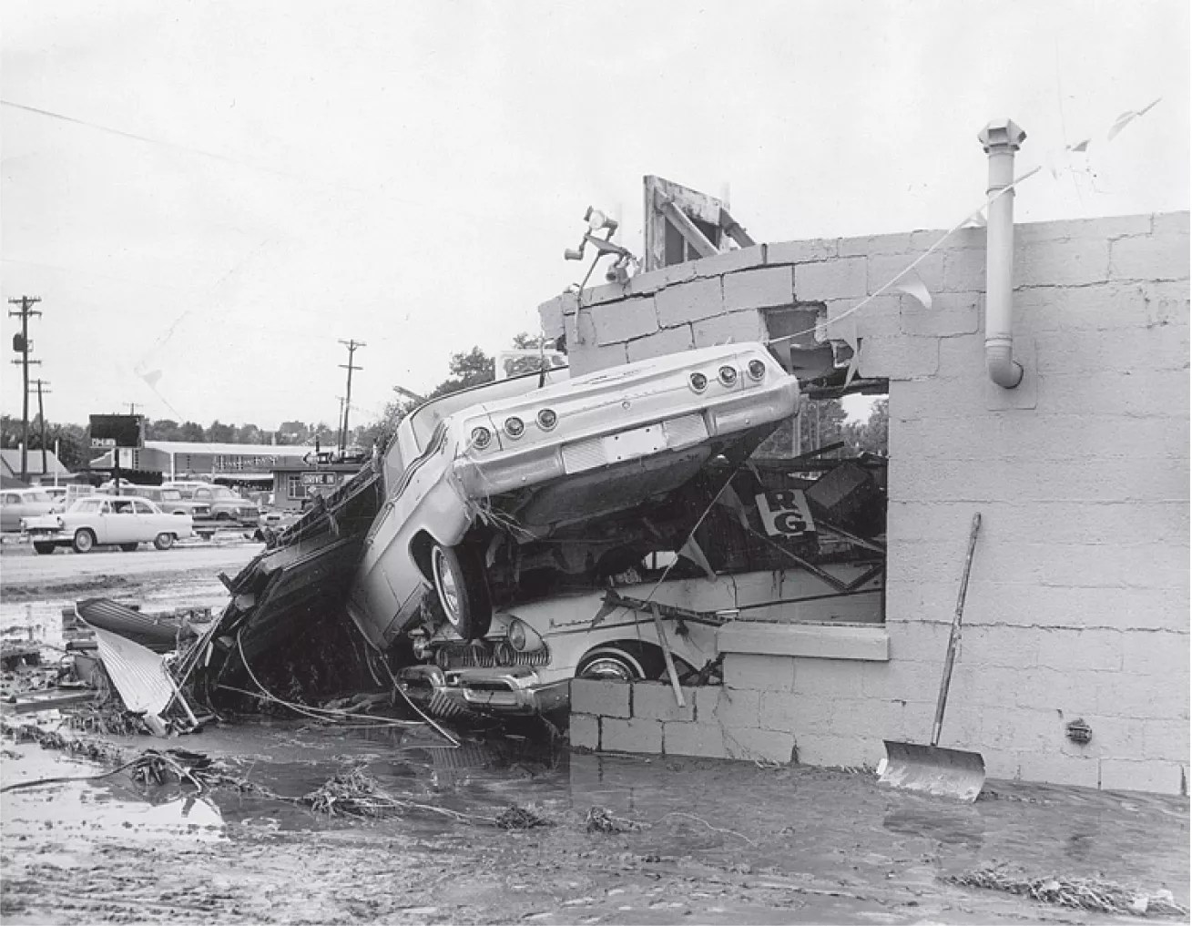
Looking into Cherry Creek's history just now, I see that it floods Denver and upstream areas with storm water every few decades. Serious floods. The great read below is mainly about Denver's hugely destructive 1965 Plum Creek-South Platte flood — also storm-fed. But you'll see some of Cherry Creek's rap sheet.

 
Last edited:
Worse than the storm-fed flooding in mid-May?

Yeah for sure. I could still get just about everywhere I wanted to go up until yesterday, but this one has been on another level. Considering we're in the 80s now, and all this extra humidity, I'm going to sit the next couple weeks out. Good timing 'cause I'll be out of town almost that long. Gonna try riding in NYC lol
 
Grabbed a quick 20km after grocery shopping and mowing the lawn.
What am I saying... it took me 1h and 15min, Lol! Oh well... had to hit two shops whilst out.
Headed down to the river and just wandered aimlessly. Stopped and helped a fellow cyclist navigate getting onto the Alex Fraser Bridge from River Road.


Just past here there was an older guy standing up playing acoustic guitar. Didn't want to bother him with a picture...


Seaspan has a crap ton of barges in the area...


Almost home...

 
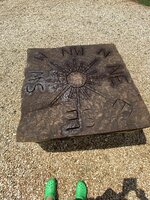
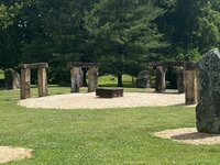
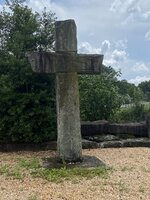
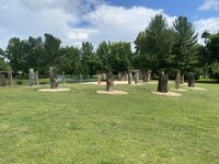
How about the Stonehenge replica in central Kentucky. Very cool!! We are back in Virginia currently, for now……😈
 

Attachments

  • IMG_1785.jpeg
    IMG_1785.jpeg
    989 KB · Views: 101
  • IMG_1786.jpeg
    IMG_1786.jpeg
    737.5 KB · Views: 95
  • IMG_1787.jpeg
    IMG_1787.jpeg
    868.3 KB · Views: 97
  • IMG_1784.jpeg
    IMG_1784.jpeg
    770.4 KB · Views: 103
  • IMG_1789.jpeg
    IMG_1789.jpeg
    481.4 KB · Views: 92
  • IMG_1792.jpeg
    IMG_1792.jpeg
    974.8 KB · Views: 90
Back