You are using an out of date browser. It may not display this or other websites correctly.
You should upgrade or use an alternative browser.
You should upgrade or use an alternative browser.
Show us pictures of where you ride your ebikes!
Jeremy McCreary
Bought it anyway
- Region
- USA
- City
- Carlsbad, CA
Today's aimless 16-mile coast ride took me from North Ponto Beach in south Carlsbad to Swami's Beach in south Encinitas. A few highlights...

South Ponto Beach looking NW from a bluff across the Coast Highway. Bataquitos Lagoon, the mouth of San Marcos Creek, is at bottom right.

The bluff was also a great lagoon overlook.

The rail causeway effectively divides Bataquitos into inner (right) and outer lagoons.

Earlier, the kids belonging to this pile of fatties below the bluff passed me doing wheelies down busy La Costa Avenue, very litte pedaling involved. They clearly saw themselves as an ebiker gang.

Meandering sand bars dominate the outer lagoon. The entire lagoon is a wildlife preserve — all of it closed to bikes, and much of it to foot traffic as well.

All along the coast, surfers were enjoying this 11-second WSW swell, here seen from the H Street Overlook in Encinitas. The sea lavender's going nuts right now.


The elegant park above Swami's Beach — a world-famous point break accessible only via these stairs down the cliff.

Just a few simple rules, eh?

Brand-new and most welcome bike infrastructure running from south Encinitas almost to Solana Beach. The previous bike lane had no barrier, and pedestrians and runners often took it over. So far, so good.
South Ponto Beach looking NW from a bluff across the Coast Highway. Bataquitos Lagoon, the mouth of San Marcos Creek, is at bottom right.
The bluff was also a great lagoon overlook.
The rail causeway effectively divides Bataquitos into inner (right) and outer lagoons.
Earlier, the kids belonging to this pile of fatties below the bluff passed me doing wheelies down busy La Costa Avenue, very litte pedaling involved. They clearly saw themselves as an ebiker gang.
Meandering sand bars dominate the outer lagoon. The entire lagoon is a wildlife preserve — all of it closed to bikes, and much of it to foot traffic as well.
All along the coast, surfers were enjoying this 11-second WSW swell, here seen from the H Street Overlook in Encinitas. The sea lavender's going nuts right now.
The elegant park above Swami's Beach — a world-famous point break accessible only via these stairs down the cliff.
Just a few simple rules, eh?
Brand-new and most welcome bike infrastructure running from south Encinitas almost to Solana Beach. The previous bike lane had no barrier, and pedestrians and runners often took it over. So far, so good.
Last edited:
Viking1
Well-Known Member
- Region
- USA
- City
- USA RV Living Full Time. Home is where we park it.
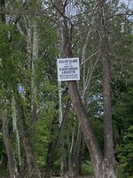
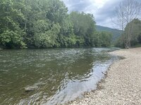
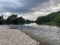
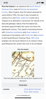
Here is a funny one! We are in Romney, West Virginia and here is the name of a small island near the South Branch of the Potomac River.
Official name… Piss Pot Island!!
Official name… Piss Pot Island!!
Attachments
DaveMatthews
Dave's not here. Cheating since 2018
- Region
- Canada
Another rambling ride on Canada Day with little care as to destination.
Started on a familiar route to Mud Bay.
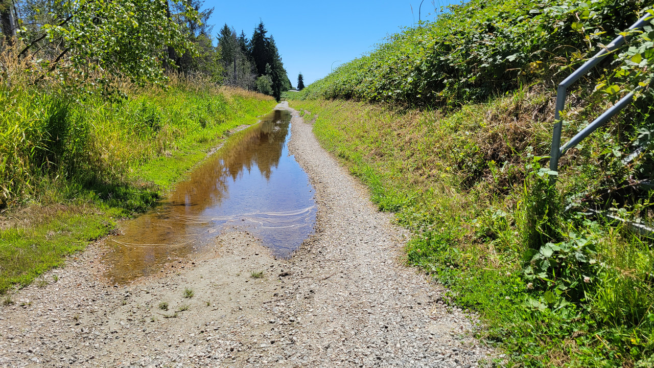
I haven't seen the Nemesis puddle this low in over 3 years...
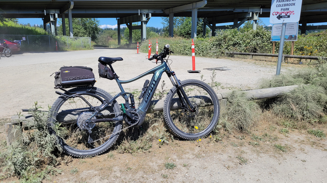
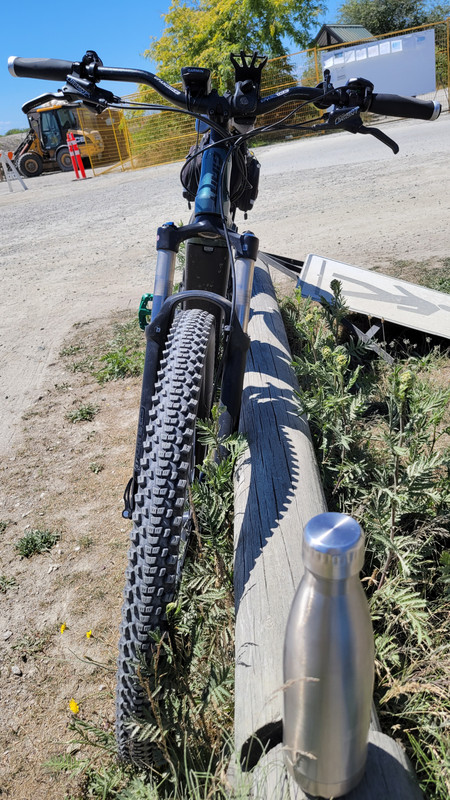
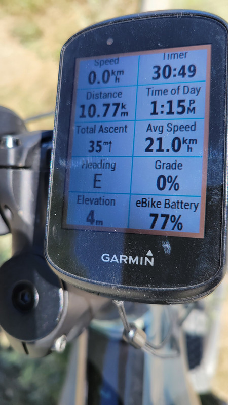
10km to the parking lot and a short sit down for water with Nuun tabs...
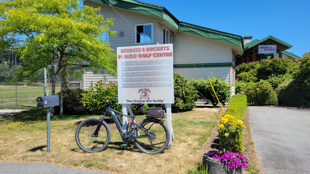
Then decided to head East on Colebrook Road which lands you at a local driving range...
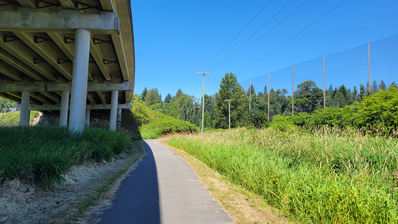
From there a path North to join King George Hwy...
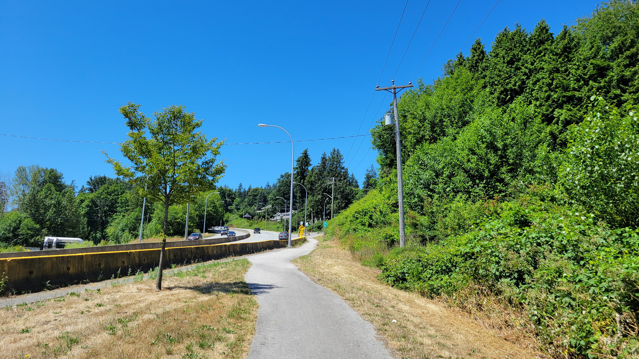
But not a fan of joining traffic for a few km...
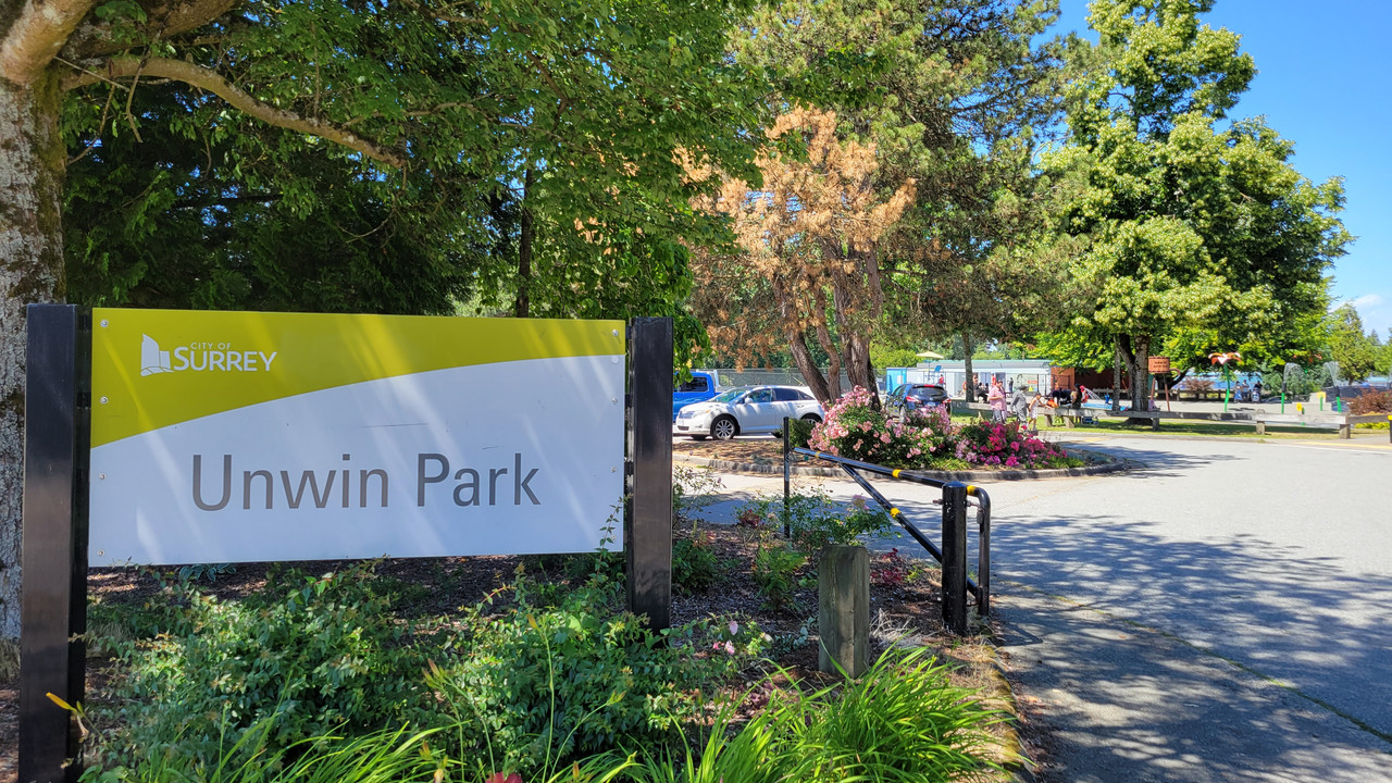
Headed West on 68th Ave to escape the cars and tripped over this park I'd never seen.
My sick mind decided that whomever named the park won something but got caught cheating...
Then stopped at Newton Athletic Park to watch a few minutes of footy and finish my water...
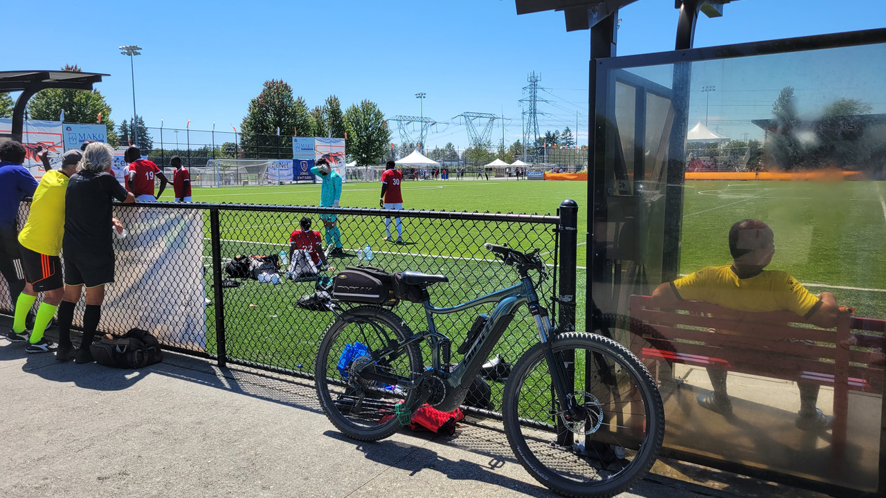
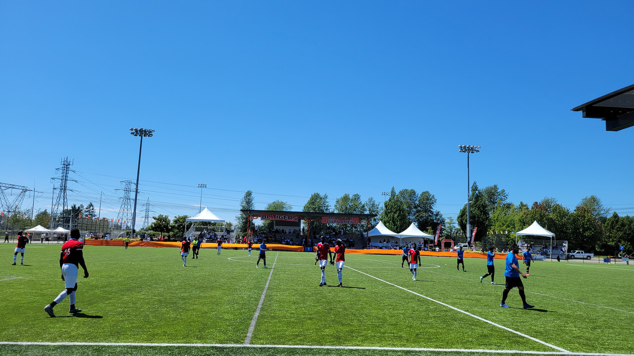
Not quite 30... Ah well, battery is charging so maybe another ride after grocery shopping...
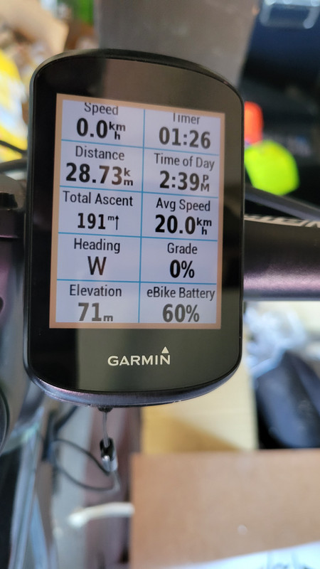
Started on a familiar route to Mud Bay.
I haven't seen the Nemesis puddle this low in over 3 years...

10km to the parking lot and a short sit down for water with Nuun tabs...


Then decided to head East on Colebrook Road which lands you at a local driving range...

From there a path North to join King George Hwy...

But not a fan of joining traffic for a few km...

Headed West on 68th Ave to escape the cars and tripped over this park I'd never seen.
My sick mind decided that whomever named the park won something but got caught cheating...

Then stopped at Newton Athletic Park to watch a few minutes of footy and finish my water...


Not quite 30... Ah well, battery is charging so maybe another ride after grocery shopping...

Prairie Dog
Well-Known Member
- Region
- Canada
- City
- Red Deer
That low water level speaks to just how dry it must be out there, Dave. Looks like there’s some high ground on the right side of the path for times when it does get nasty and deep just as long as the grass and weeds are cut down which I assume only gets done during rare occasions like this.Started on a familiar route to Mud Bay.
I haven't seen the Nemesis puddle this low in over 3 years...
DaveMatthews
Dave's not here. Cheating since 2018
- Region
- Canada
We had a fairly wet spring for sure, and now some weeks of dry. I can't remember the last time I DIDN'T get my tires wet there!That low water level speaks to just how dry it must be out there, Dave. Looks like there’s some high ground on the right side of the path for times when it does get nasty and deep just as long as the grass and weeds are cut down which I assume only gets done during rare occasions like this.
Jeremy McCreary
Bought it anyway
- Region
- USA
- City
- Carlsbad, CA
Not a good sign when your puddles have names.
BlackHand
Well-Known Member
- Region
- USA
- City
- Western WA
Art Deco
Well-Known Member
- Region
- USA
- City
- Selinsgrove Pennsylvania
Especially if the locals start calling them feature names like maple street lake, and the main street stream.Not a good sign when your puddles have names.
Jeremy McCreary
Bought it anyway
- Region
- USA
- City
- Carlsbad, CA
Jeez, that's just as bad as building a school on Fail Road
View attachment 157252
Maybe it's reverse psychology to get the kids to work harder.
In northwest Colorado, we have a Fault Line Dam and a Poison Springs Reservoir. The wag who got those names through must still be chuckling over it.
Prairie Dog
Well-Known Member
- Region
- Canada
- City
- Red Deer
It’s been a couple of days since my ride at Bragg Creek and I discovered that I re-aggravated a previous body injury which occurred when I crashed along the Moraine Lake Highline Trail almost a month ago. My ribs were still sore during my encounter with the rock gardens at Powderface and breathing somewhat labored but I did manage to get out for a 30 km evening ride tonight.

My wife picked up this rural casualty along the route that we cycle and couldn’t help but notice that the poor thing was barely clinging to life. I’m no expert but think that it might be a warbler. We do enjoy listening to the birds that frequent the area during our outings but I’m afraid this one had sung its last song.

The yellow blossoms of the canola fields are just beginning to come alive and should provide a cheerful backdrop for anyone fortunate enough to pass by them.

My wife picked up this rural casualty along the route that we cycle and couldn’t help but notice that the poor thing was barely clinging to life. I’m no expert but think that it might be a warbler. We do enjoy listening to the birds that frequent the area during our outings but I’m afraid this one had sung its last song.
The yellow blossoms of the canola fields are just beginning to come alive and should provide a cheerful backdrop for anyone fortunate enough to pass by them.
DaveMatthews
Dave's not here. Cheating since 2018
- Region
- Canada
Nice you got out, looks serene.It’s been a couple of days since my ride at Bragg Creek and I discovered that I re-aggravated a previous body injury which occurred when I crashed along the Moraine Lake Highline Trail almost a month ago. My ribs were still sore during my encounter with the rock gardens at Powderface and breathing somewhat labored but I did manage to get out for a 30 km evening ride tonight.
View attachment 157271
My wife picked up this rural casualty along the route that we cycle and couldn’t help but notice that the poor thing was barely clinging to life. I’m no expert but think that it might be a warbler. We do enjoy listening to the birds that frequent the area during our outings but I’m afraid this one had sung its last song.
View attachment 157272
The yellow blossoms of the canola fields are just beginning to come alive and should provide a cheerful backdrop for anyone fortunate enough to pass by them.
View attachment 157273
Sorry to see the warbler go down, but what can you do?
Hope you heal 100% soon!
Last edited:
Prairie Dog
Well-Known Member
- Region
- Canada
- City
- Red Deer
It was a relatively serene outing albeit a bit gusty. Actually, it’s been quite windy this week with sporadic showers though nothing like the tornado that touched down over the weekend near Didsbury about 80 km south of here. We were placed under an alert but it was lifted soon after it passed. The damage that it caused was extensive but thankfully no reported deaths or serious injuries.Nice you got out, looks serene.
Sorry to the warbler go down, but what can you do?
Hope you heal 100% soon!

Tornado warning lifted for Red Deer County, Lacombe County after turbulent weather hits Alberta | Globalnews.ca
An emergency alert was issued for Lacombe County and Red Deer County late Friday night because of a possible tornado making its way through the area.
As for the bird, my wife just wanted to find the little fella a more comfortable resting place nestled in the tall grass instead of on the side of the road. Never would see her doing that with a skunk or porcupine.
Surrey Pete
Well-Known Member
- Region
- Canada
Tried out the Burnaby Foreshore Trail yesterday. Started at the Waste to Energy facility that transforms 25% of Vancouver's garbage into enough electricity to power 16,000 homes:

All the missing gaps have been completed as the trail follows the Fraser river:

Some of the sights along the way:


The new River District being developed on former industrial land:

My new(ish) Gazelle along one of the entries in their mural festival:

Ending near the Knight Street Bridge:

All the missing gaps have been completed as the trail follows the Fraser river:
Some of the sights along the way:
The new River District being developed on former industrial land:
My new(ish) Gazelle along one of the entries in their mural festival:
Ending near the Knight Street Bridge:
Jeremy McCreary
Bought it anyway
- Region
- USA
- City
- Carlsbad, CA
Gorgeous! Which volcanos are those?
DaveMatthews
Dave's not here. Cheating since 2018
- Region
- Canada
Today was a little warmer (25-27C) so I thought I'd try to stay close to water. The easy choice was down to River Road, heading West to Deas Island Park.
What I did not count on was a stiff headwind the whole way there. I had decided that I wanted to go for low assist levels/higher battery efficiency as opposed to the previous "fastest 40", but still try to keep the km/hr up.
Have been keeping an eye on the smoke forecast and figured today was going to be it for a while. https://firesmoke.ca/forecasts/current/
You can see it's just starting to hint of haze/smoke coming, looking to the NW...

End of the road into Deas Island Park...


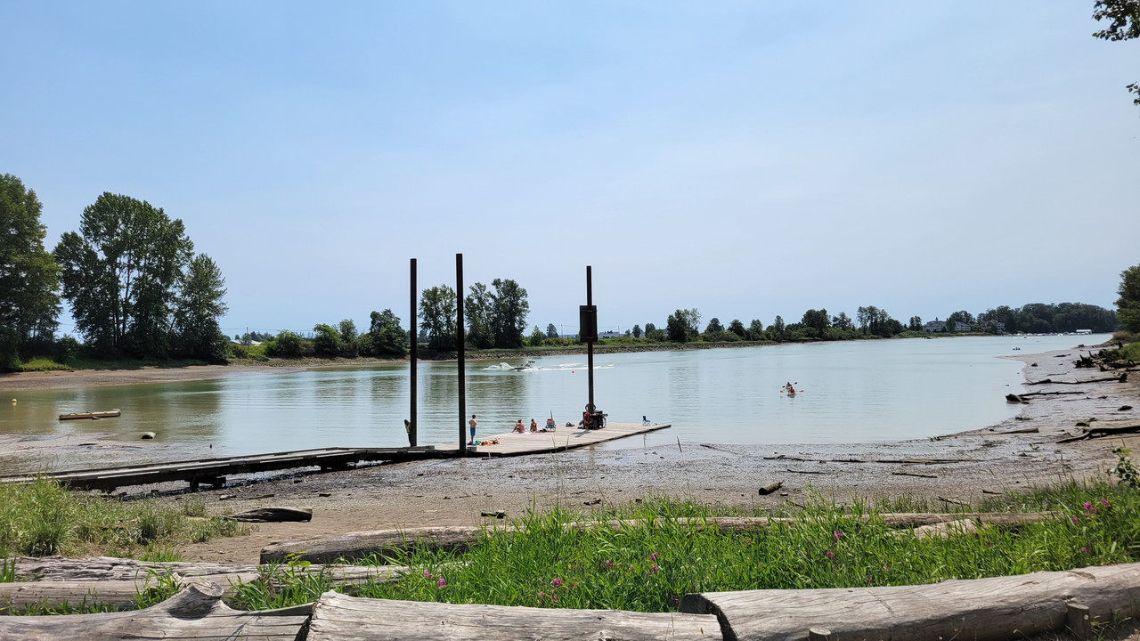
This area is used a lot for water ski/rowing/kayak etc...

Heading out of the park, saw a cool car...

I don't think I've ever averaged 2km/battery percentage...

Heading back along a service road right beside Hwy 99. Super safe, but piles of traffic/noise...

This guy can't decide whether he likes chain drive or belt drive...

A spot of solace/shade and some water at... um... Watershed Park on the way home...

Almost 40, but not quite. Would not have beaten the previous anyway, but mission accomplished regarding higher km/battery consumption...

What I did not count on was a stiff headwind the whole way there. I had decided that I wanted to go for low assist levels/higher battery efficiency as opposed to the previous "fastest 40", but still try to keep the km/hr up.
Have been keeping an eye on the smoke forecast and figured today was going to be it for a while. https://firesmoke.ca/forecasts/current/
You can see it's just starting to hint of haze/smoke coming, looking to the NW...

End of the road into Deas Island Park...


This area is used a lot for water ski/rowing/kayak etc...


Heading out of the park, saw a cool car...

I don't think I've ever averaged 2km/battery percentage...

Heading back along a service road right beside Hwy 99. Super safe, but piles of traffic/noise...

This guy can't decide whether he likes chain drive or belt drive...

A spot of solace/shade and some water at... um... Watershed Park on the way home...

Almost 40, but not quite. Would not have beaten the previous anyway, but mission accomplished regarding higher km/battery consumption...

Similar threads
- Replies
- 30
- Views
- 2K
- Replies
- 1
- Views
- 2K
- Replies
- 1
- Views
- 586
- Replies
- 331
- Views
- 17K

