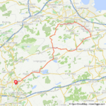
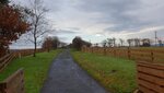
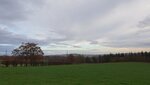
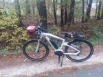
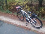
Having recently relocated I took some time today for some fun in the sun and clear cut view viewing.
View attachment 27176
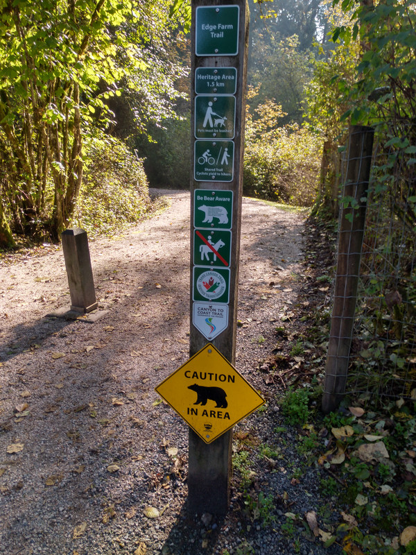
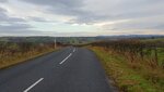
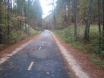
Quite the maze of logging roads but the map is pretty up to date however road markers are rare
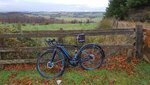
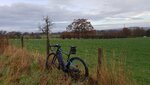
View attachment 27177
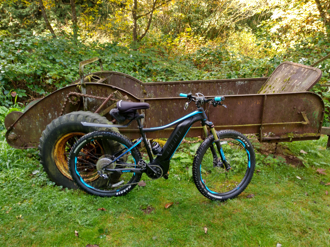
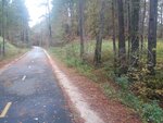
I take pics on my phone and leave the map at home, As an aside I find this useful at trailheads also.
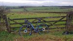
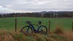
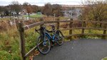
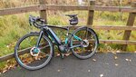
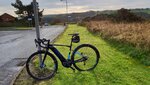
I don’t use a tracking app anymore because of my thinking that every time there is a stop watch involved it’s a race but I will always appreciate the exact info my CA 3 display provides. New regen record today btw, lots of up starting from the beach and in between provided plenty of down. Considering the road conditions, a rigid drop bar bike on 40c tires and being alone made for a conservative cruise with no traffic on a beautiful day.
View attachment 27178
") !
!