Left knee's been having one of its spells lately. In trying to make the best of the 5-10 mi rides it's been willing to tolerate, I was reminded of a classic photography class assignment: Interest your viewer in 20 different things within 50 ft of your front door.
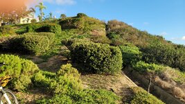
So, lots of exploring lately of things I usually ride right past — including this stormwater spillway in the canyon behind my house.
View attachment 167419
View attachment 167402
Turns out, it's a Google Maps POI with its own name: Chetside. The one review gives it 5 stars as a "great place to skate".
View attachment 167401
As a graffiti magnet, Chetside also provides an interesting glimpse into the minds of the artists.
View attachment 167409
Bosko was apparently here.
View attachment 167400View attachment 167411
Had less luck deciphering these fonts.
View attachment 167395
View attachment 167396
One of the artists tends to perservate. He's particularly fixed on "fyxt".
View attachment 167397View attachment 167398View attachment 167399View attachment 167410
Chetside also felt like something of a diary/message board.
View attachment 167412
Our short but steep little canyon drains to Bataquitos Lagoon and thence to the Pacific at South Ponto Beach. But where there was once an intermittent stream to the lagoon, we now have the Chetside spillway (top left), Bataquitos Drive, and Gabbiano Lane. Storm drains at the bottom of Bataquitos Drive (bottom left) and a protective levee at its intersection with Gabbiano (not shown) now keep stormwater from barreling straight through on the surface.
View attachment 167388
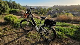
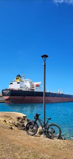
Lagoon from atop the Gabbiano Lane levee. With stormwater infrastructure on my mind, I set out to find other examples in the canyon.
View attachment 167415View attachment 167414
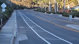
Hilly Carlsbad is full of concrete stormwater flooms like these. On Google Maps and Earth satellite views, they look like they might be rideable single tracks. They've fooled RideWithGPS and Google Maps' bike mode, too.
.


")