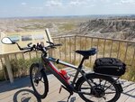
The point where the Erie Canal leaves the Mohawk for the final connection to the Hudson along Flight Lock Road, a quarter mile from my house.
Interestingly enough, Erie Canal riders following the normal route never see this or the three locks and one guard gate along Flight Lock Road. You have to deviate from the route and know how to find the spot, but it allows you to stay with the canal the entire Flight of Five locks that raise the level 165 feet, the biggest change on the whole canal system. I get to ride this section all the time, but have never encountered a single touring cyclist on it.
View attachment 22933


")