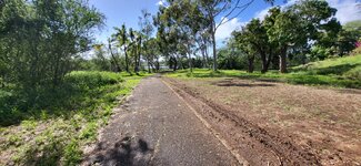
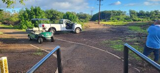
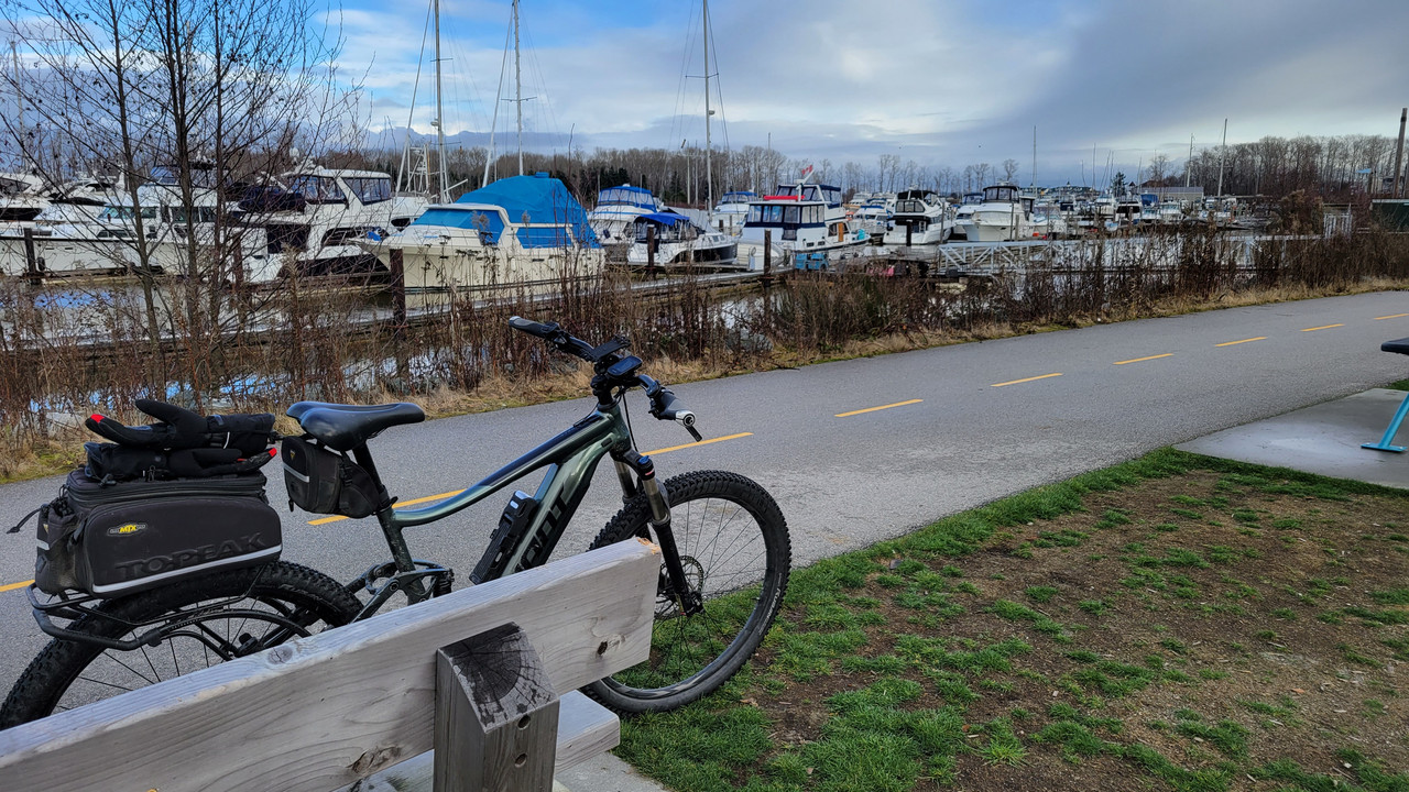
Last ride of the year yesterday. Nice warm 26C weather, fresh sea breeze, quiet NYE trails: perfect riding! I headed over to the nearby Glenrock MTB park, a 30-odd kilometer network of trails on NPWS conservation land.
View attachment 143727
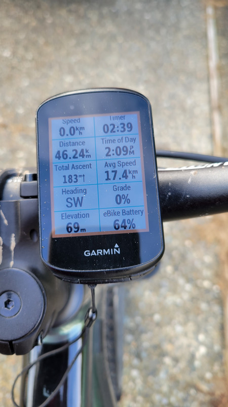
It wasn't a long ride by EBR standards, but getting out on the trails is always such a workout: I'm either sprinting for the next corner or jump, grinding up a punishing reset, or breathless from a near death experience. The heart rate usually sits in the 140 - 180.
View attachment 143728
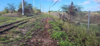
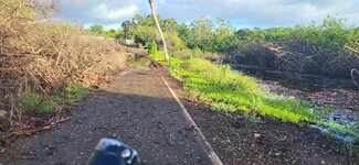
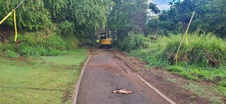
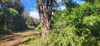
This little section of track is my current project. It's a chunky little 50m section of rock garden. I'm still working up to dropping over that top lip - can't quite work out how to do it without a motor strike or over the bars moment.
View attachment 143729
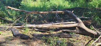
The blue trail (really green) winds and weaves its way along the side of the reserve from there. Professional track builders were commissioned by NPWS to rework a section of track in this part of the park. They built a cracking series of three tabletops with a reasonably fast approach. It was terrific. Apparently there was some misunderstanding around the brief so they were called in a number of months later to sanitise that section, leaving it as a more pedestrian flowly pump section. It was this section I was doing my best to hook along when I saw a goanna lazing across the track. They're very common in the park but usually have the sense to scamper off up the nearest tree. This one was a tad slow so I had to fully lock up to avoid running over the tail. It was a good 3 foot long.
View attachment 143712View attachment 143711
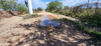
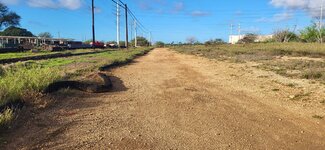
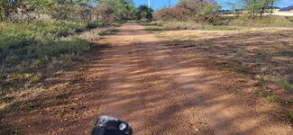
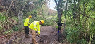
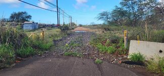
I always duck down a black rated side track. Black feels a little bit of an overstatement - it's more of a badly rutted and maintained blue - but it's a fun descent. The only downside is a steep and technical climb back to the main trail, aptly called 'It Happens' (this track is located above the city sewage treatment works, see third picture in the sequence below).
View attachment 143714
View attachment 143715View attachment 143726
The tail end of the trail led through a lovely stand of what may be Sydney Red Gum.
View attachment 143713
The next trail along, Shaft, is my favorite in the park. Nice descent, good flow, big wide berms and a couple of fun jumps to finish it off.
View attachment 143716
View attachment 143717View attachment 143718
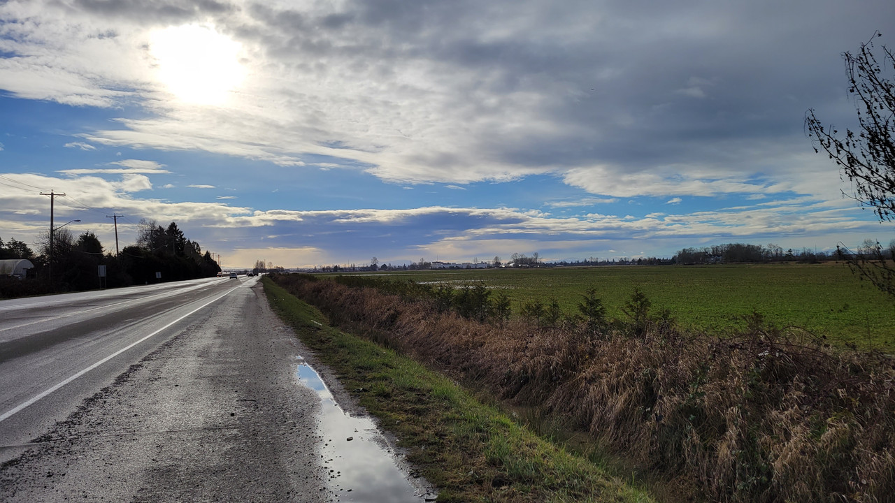
This is a very typical scene right up the east coast of Australia: gully with rainforest. You can find gullies looking pretty much like this from Eden in the south right up to Cape Tribulation 3000km north.
View attachment 143719
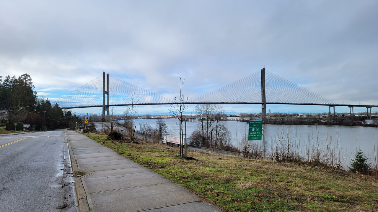
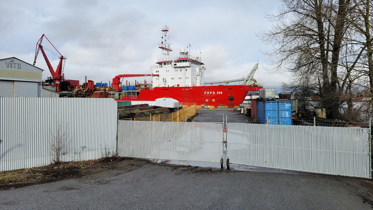
As with any of the local tracks, elevation isn't a whole lot, especially compared to some of you Rocky and West Coast folk. Most of these trails only drop about 50m, but that also makes the resets shorter. This is one of the not bad views from midway up the reset track. It has all the typical ingredients of a postcard Newcastle shot: beach, bluff, banksia, coal ships.
View attachment 143720
Looking back at Seismic, a blue ([cough] green) flow trail.
View attachment 143721
And I'm back where I started, finishing the loop. In addition to the official trails there's a network of unsanctioned tracks the other side of the access road. These up the difficulty and risk a fair bit and include big log jumps, faster descents and chunky sections.
View attachment 143722
View attachment 143723
View attachment 143724
View attachment 143725