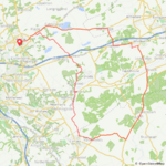
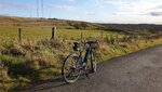
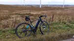
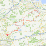
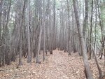
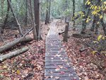
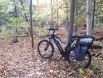
A 33 mile ride today on the rolling gravel roads of western Loudoun County, VA, following the line of the Blue Ridge Mountains. I was hoping to find the bottom of the battery, but instead found my own ... uh ... "limit" shall we say.
Had to bundle up as the temps are dropping now that November is here. Started at 43°f (6°c) so wore warm but lightweight clothing which proved to be golden throughout the ride- kept me warm without sweating.
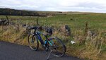
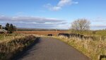
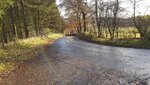
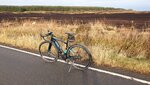
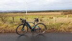
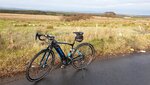
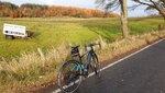
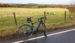
Stopped to snap a picture of the Blue Ridge vista enroute to Upperville on the same gravel roads that both the Federal and Confederate troops took just hours before their engagement at Upperville. Behind me is the 1870s estate "
Pelham" named after the very popular and much beloved young
Lt. Col. John Pelham in the Virginia Confederate cavalry who died in action in Culpepper, VA at age 24. In the foreground of this shot is the private training racetrack and paddocks of the estate "
Catesby".
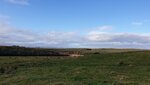
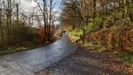
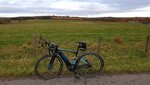
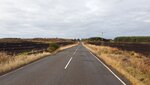
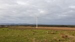
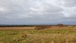
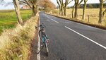
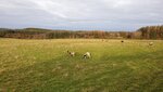
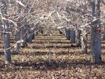
Once in Upperville I stopped to take in the views of the Civil War battlefield, contemplating the sadness of all those young lives lost on what are now pristine fields that show nothing of what took place 160 years ago. The weather beaten history sign (situated facing west towards the mountain) detailed every nuance of the fighting "for the cause", the results of which led directly to the Battle of Gettyburg, and the turning point of the war.
All just quiet green fields of grass today.
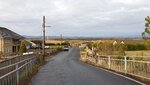
Then onward north to the village of
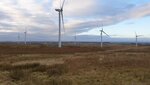
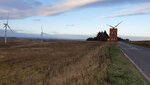
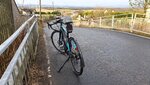
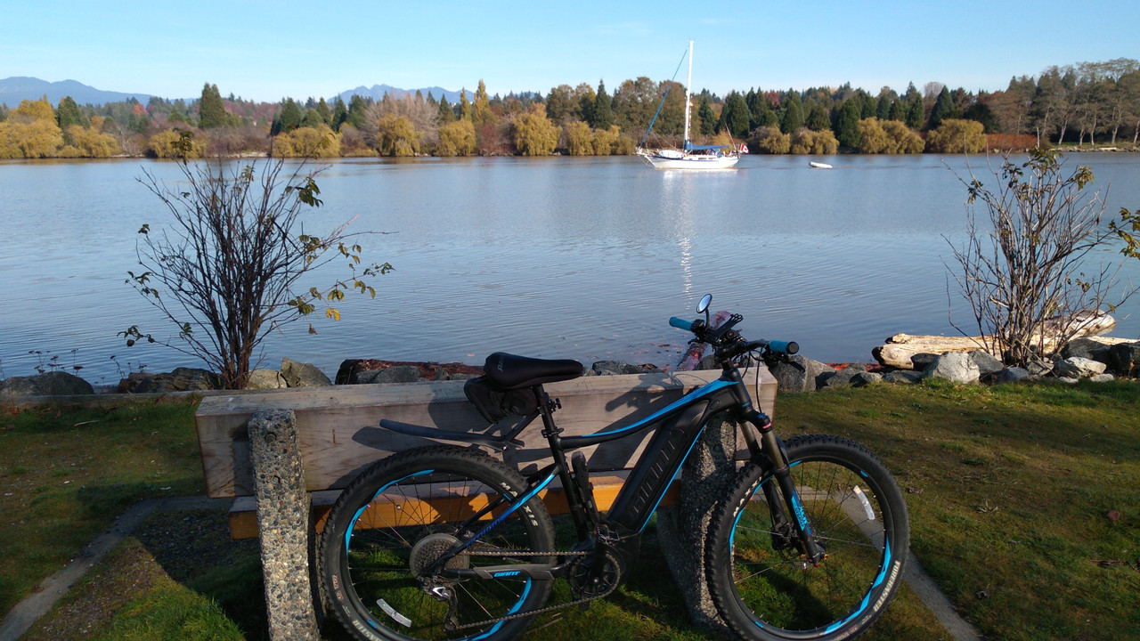
Bluemont, a favorite tourist destination in the mid 1870s to mid 1940s for folks fleeing from the sweltering fetid summer swamp conditions of Washington DC, eager to breathe the "salubrious mountain air" of the Blue Ridge. Nestled comfortably at the foot of the mountains, this quaint town was serviced by the railroad until 1940 when the line was abandoned thanks to the automobile rising in travel popularity, pushing the railroads out of business. The village now is a favorite cyclist "turn around " destination for those eastern suburban cyclists who want to "ride west to the mountains and back", as well as day trippers cruising out in cars and on motorcycles to visit the plethora of wineries and breweries just high enough up on the mountainside slopes to offer a breathtaking view of the valley along with a draft of craft beer or a heady glass of award winning Virginia wine.
It was the turn-around point for me as well. By the time I got home 7 miles later, I had used up 81% of the 400w battery, and 89% of my own biological battery (my GPS said I burned 1,607 calories. I think I burned 2 billion). Elevation gain was 1,050' (2,142' ascent/2,096 descent) at an average speed of 12.4mph and a maximum of 28.9mph (heading down a hill on a paved road - that was a heady experience!).
It was a very pretty, very serene 2 1/2 hour ride with 40 minutes worth of stops along the way
Tomorrow we will be spending the day enjoying an art studio tour in another county south of us. Quite looking forward to it! My bike can have the day off.


![thumbnail_IMG_1989[1].jpg](https://forums.electricbikereview.com/data/attachments/41/41201-dd626e3a6d239b05e468e2be42633e43.jpg "thumbnail_IMG_1989[1].jpg")
![thumbnail_IMG_1987[1].jpg](https://forums.electricbikereview.com/data/attachments/41/41202-5b095da9ec7ae847c18e804d010a34b3.jpg "thumbnail_IMG_1987[1].jpg")
![thumbnail_IMG_1990[1].jpg](https://forums.electricbikereview.com/data/attachments/41/41203-7112134b08eb8606474175368ae21a95.jpg "thumbnail_IMG_1990[1].jpg")
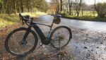
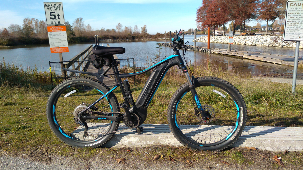
") The bike needed a good wash after it, its looking like new once again now
The bike needed a good wash after it, its looking like new once again now