I am still still giving some thought to what navigation device I want to use on my Gazelle Ultimate C380+.
I know that Garmin makes some dedicated cycling devices, like their Edge line.
I already have a Garmin Zumo XT, which I use on my Can-am Outlander Max 450 ATV.
If I get an appropriate mount, would that be a suitable e-bike GPS?
I gather that the Garmin Edge series have performance monitoring, but that really doesn't interest me at this time.
I also know that some people simply use a mount for their smartphone.
The other thing I am wondering about is bicycle maps.
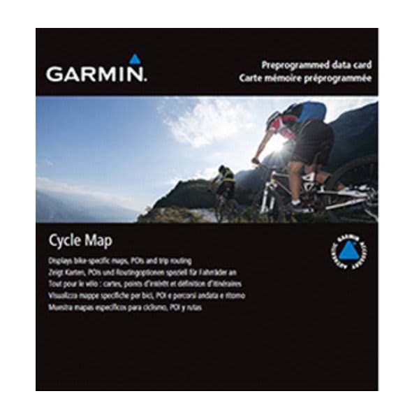
I see that Garmin offers Cycle Map North America.
How helpful are those compared to Garmin City Navigator North America?
Their website does not list the Garmin Zumo XT as compatible with Cycle Map North America.
Does anybody here know why it is not compatible?
Are there other bicycle maps that cam be downloaded onto a Garmin Zumo XT that would work as well or better than Cycle Map North America?
Also, I didn't see any reference made to Garmin Cycle Map North America being a Lifetime Map, does it not get or need updating very often?
Is this essentially just an overlay to Garmin City Navigator?
 www.garmin.com
I know that Garmin makes some dedicated cycling devices, like their Edge line.
I already have a Garmin Zumo XT, which I use on my Can-am Outlander Max 450 ATV.
If I get an appropriate mount, would that be a suitable e-bike GPS?
I gather that the Garmin Edge series have performance monitoring, but that really doesn't interest me at this time.
I also know that some people simply use a mount for their smartphone.
The other thing I am wondering about is bicycle maps.
I see that Garmin offers Cycle Map North America.
How helpful are those compared to Garmin City Navigator North America?
Their website does not list the Garmin Zumo XT as compatible with Cycle Map North America.
Does anybody here know why it is not compatible?
Are there other bicycle maps that cam be downloaded onto a Garmin Zumo XT that would work as well or better than Cycle Map North America?
Also, I didn't see any reference made to Garmin Cycle Map North America being a Lifetime Map, does it not get or need updating very often?
Is this essentially just an overlay to Garmin City Navigator?
OSM U.S. Cycle Map | Garmin
www.garmin.com
") There is no time to study them while riding an e-bike!
There is no time to study them while riding an e-bike!