Wes Turner
Member
- Region
- USA
- City
- Silicon Valley, CA
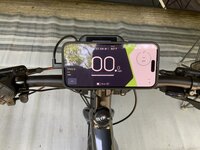
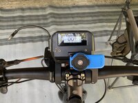
A couple of comments.My $0.02 on why I use a "GPS bike computer" (in my case a Hammerhead):
- Keeper Loop. This is an excellent feature. I am surprised none of the [hone mounts have one.
- Battery Life. We frequently drive 160 miles to visit with the grandkids. There are half a dozen alternate routes involving combinations of half a dozen freeways. Before we start, I load the destination into one of the guidance apps on my iPhone Xr. It will show me each route with the distance and the estimated time, plus any traffic jams, road construction, etc. I also get warnings en route about speed checks, not something I would need on a bike, and updates on routes. A few times it has rerouted us partway through the drive. I leave my phone on the seat divider where I can see it with the screen on fr the entire trip. These trips take between 2.5 and 4.5 hours depending on whether we can avoid rush hour traffic, which we can encounter in at least 3 cities. When we arrive, the battery has never been below 40% and it is usually around 55%. Plus, I can turn off the screen en route and it will open back up whenever it gives me any directions or information. I did that on one trip and the battery was at 85% when we arrived.
Fairness compels me admit that some apps, notably RideWithGPS, do some cool stuff.
Thanks for that tip.


") Yes, yes, RWGPS shines in America, Komoot is the Euro thing
Yes, yes, RWGPS shines in America, Komoot is the Euro thing