You are using an out of date browser. It may not display this or other websites correctly.
You should upgrade or use an alternative browser.
You should upgrade or use an alternative browser.
Show us pictures of where you ride your ebikes!
Prairie Dog
Well-Known Member
- Region
- Canada
- City
- Red Deer
Lovely shot of the sunset. What's the story behind the column?A recent trip to Astoria was enough reason to make it up to the Column for a sunset. Starting at river level to there is a grunt but my Z1 made it relatively easy!
View attachment 131855
View attachment 131856
JRA
Well-Known Member
The Frieze chronicles the journey of Lewis and Clark, Astoria area is where they ended up cause quite frankly they couldn't go any further west.Lovely shot of the sunset. What's the story behind the column?
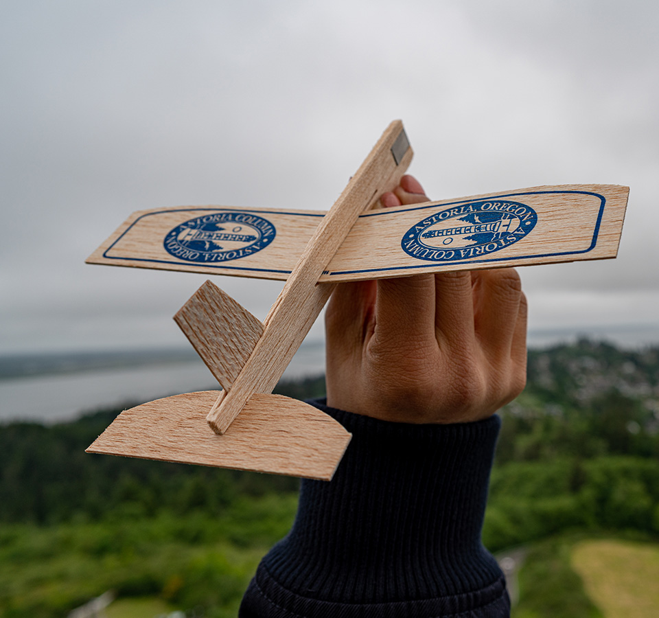
The Astoria Column: Your visit to Astoria, Oregon starts here.
Learn the history of the region and relish panoramic views of the Columbia River at this unique Northwest piece of art. Your Astoria adventure starts here.
 astoriacolumn.org
Prairie Dog
Well-Known Member
- Region
- Canada
- City
- Red Deer
Took a ride down to a good roadside blackberry picking spot.
Nice gems!
Sunarit
New Member
- Region
- Other
What camera do you use?30km today and 20 yesterday.
Don't these puddles EVER go away?!!??? The bigger one was 1km later...
Water stop...
Stop at John Oliver Park for more water...
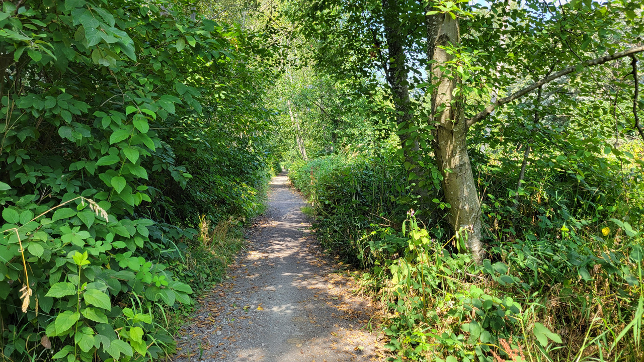
This trail through Watershed Park connects Hwy 10 and 64th Ave. There is a network of numerous trails for hiking/biking in there. I need to explore them more...

Any additional software to edit photos like PixelLab Mod APK?
Your journey is great!
Last edited:
DaveMatthews
Dave's not here. Cheating since 2018
- Region
- Canada
Thanks mate!What camera do you use?
Any additional software to edit photos?
Your journey is great!
These are stock/untouched photos from a Samsung S21 on default settings.
Cheers,
Tom@WashDC
Well-Known Member
- Region
- USA
- City
- Loudoun County, VA.
Chesapeake & Ohio Canal, Great Falls National Park, Md.
Great bike riding along the Potomac River to Washington D.C. or up the river to Harper's Ferry and beyond to Pittsburg, PA.
DaveMatthews
Dave's not here. Cheating since 2018
- Region
- Canada
50kms today and 22kms yesterday.
No pics from yesterday, but here's some from today. Decided to head over the Alex Fraser bridge and head west in south Richmond...
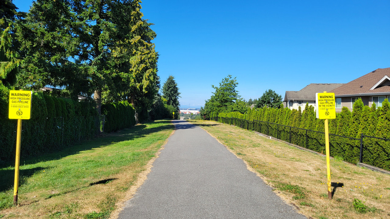
I can't really put my finger on it, but my Spidey sense makes me think there's a high pressure gas pipeline around here somewhere...
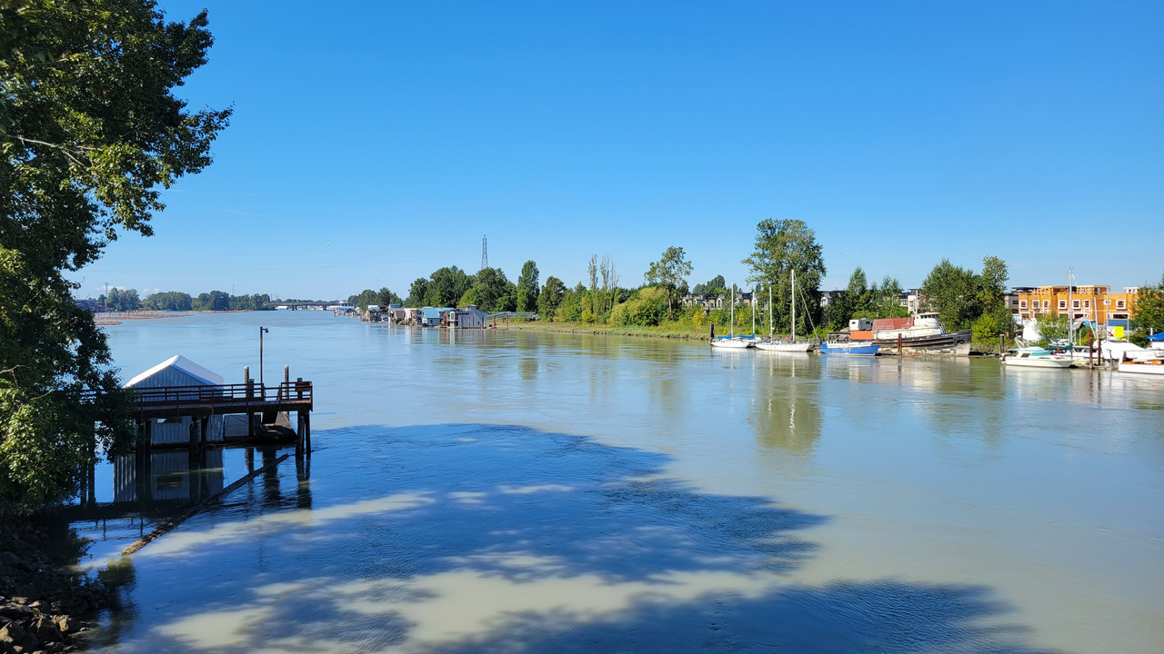
Looking down from the bridge you can see the top of the Tidewater Pub. This is where the start of the greenway to Mud Bay is. It is also the location of an older pub that burned down. That pub was the film location for an infamous scene in a movie where Jodie Foster gets attacked.

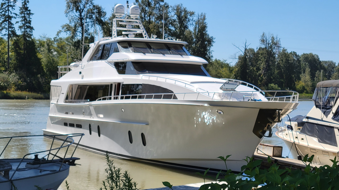
A classic...
On the way back I discovered a new path...
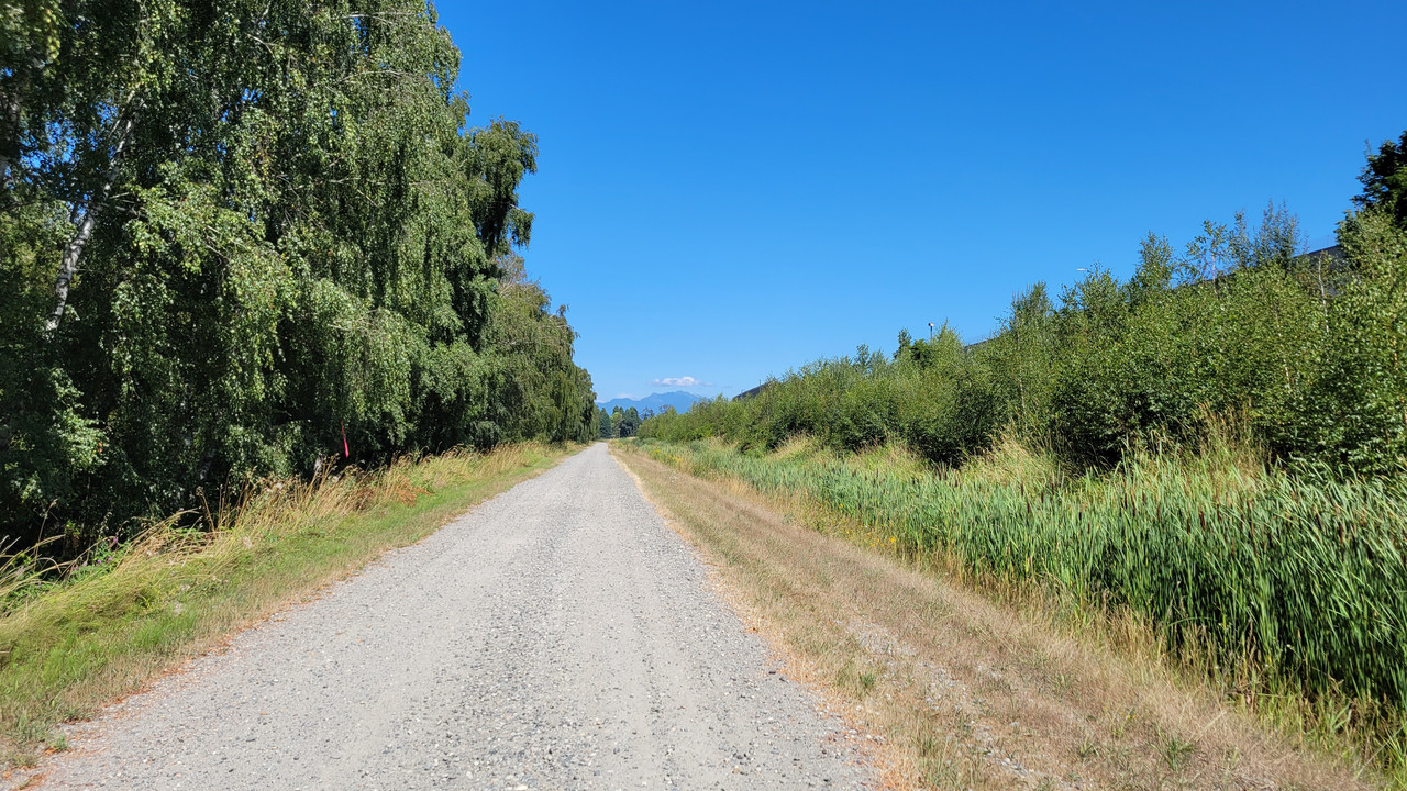
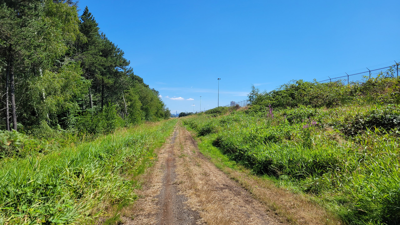
Which ended with this dirt road being the only choice other than turning around and going back. You would not want to take this route after a heavy rain...
Water please...
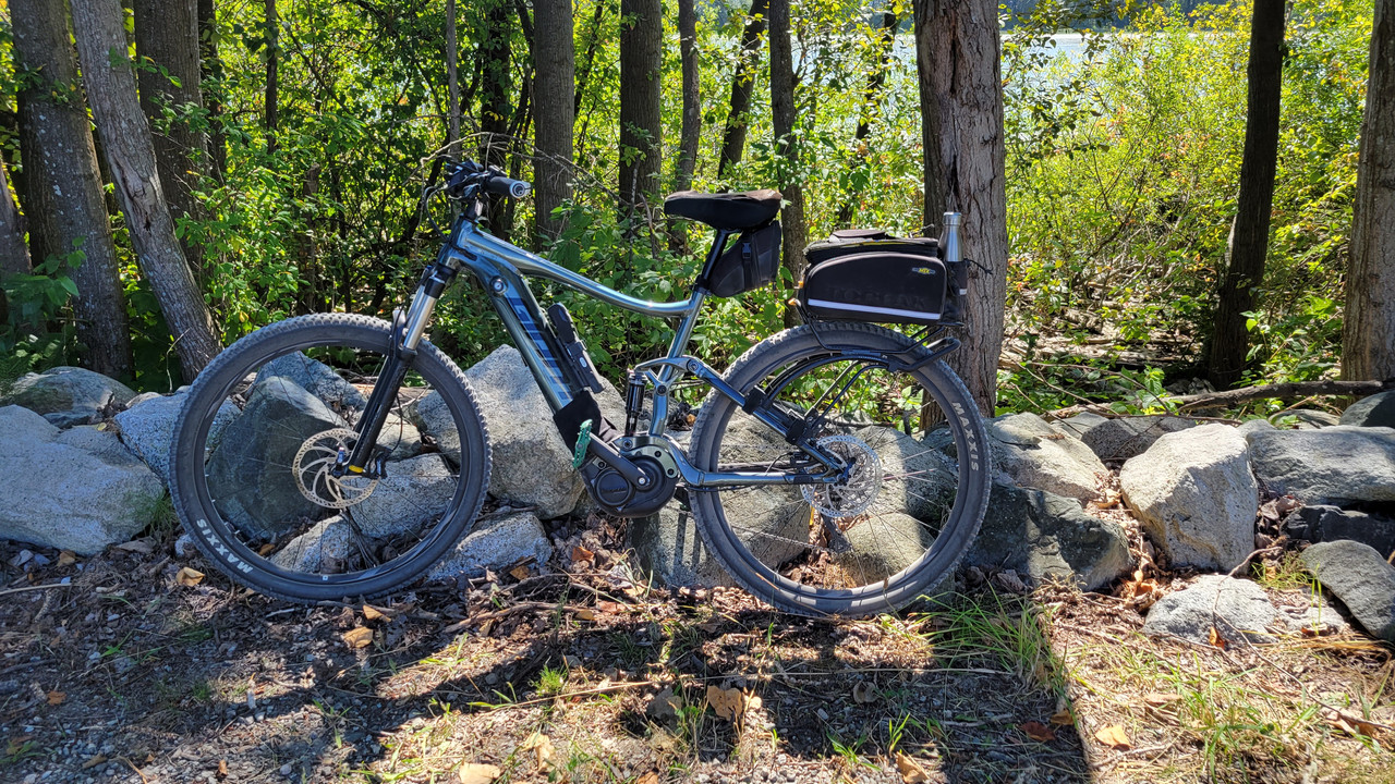
Leave a bike, take a bike?

On the way back I tried the west side of the Alex Fraser bridge. Then down onto River Road where we see the aforementioned Tidewater pub from ground level...
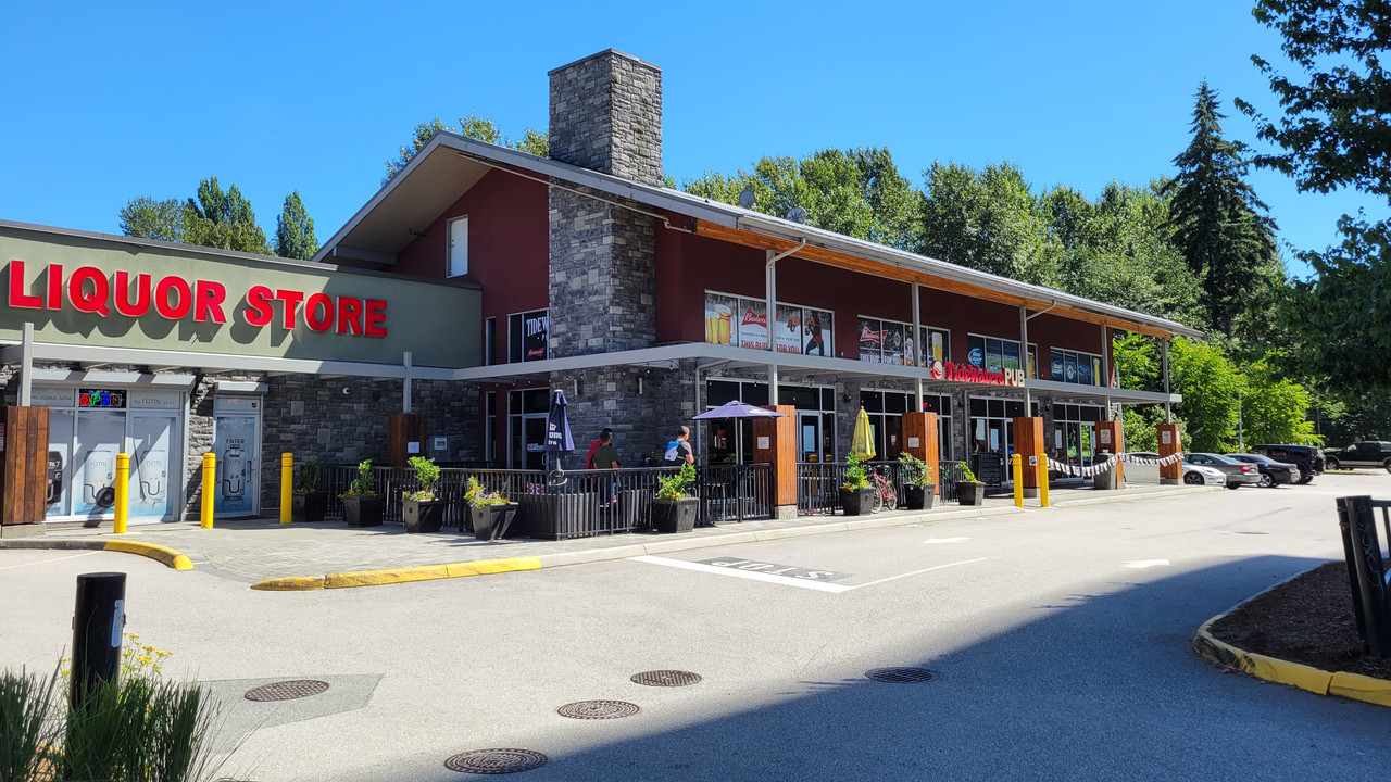
Fun ride done mostly in level 2 assist except for the bridge ascents and a couple of hills. Got back with 58% battery left.
No pics from yesterday, but here's some from today. Decided to head over the Alex Fraser bridge and head west in south Richmond...
I can't really put my finger on it, but my Spidey sense makes me think there's a high pressure gas pipeline around here somewhere...

Looking down from the bridge you can see the top of the Tidewater Pub. This is where the start of the greenway to Mud Bay is. It is also the location of an older pub that burned down. That pub was the film location for an infamous scene in a movie where Jodie Foster gets attacked.


A classic...


On the way back I discovered a new path...

Which ended with this dirt road being the only choice other than turning around and going back. You would not want to take this route after a heavy rain...

Water please...

Leave a bike, take a bike?

On the way back I tried the west side of the Alex Fraser bridge. Then down onto River Road where we see the aforementioned Tidewater pub from ground level...

Fun ride done mostly in level 2 assist except for the bridge ascents and a couple of hills. Got back with 58% battery left.
Rome
Well-Known Member
- Region
- USA
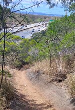
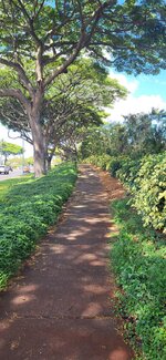
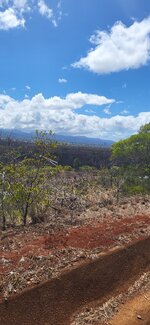
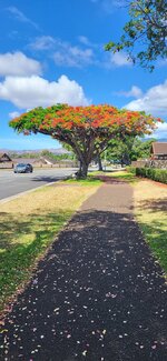
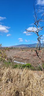
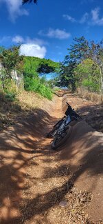
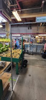
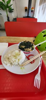
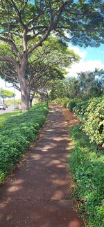
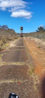
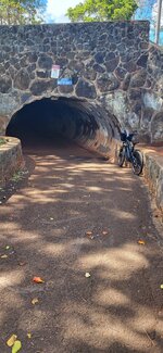
Fitness ride is what I prescribed myself today. I had to sweat out Russian vodka and California wine. I got my fill of bitter Mellon chicken stew and side Jasmine rice, stuff some bananas in my bag for later. I disabled acceleration switch on my Ridiculous ebike and hit the single track. Frequented by edirtbike riders.
To get to the top I went ride the easy path.
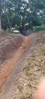
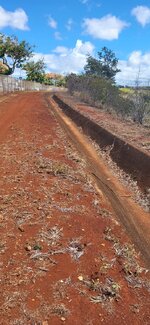
The track is basically a water run off Gulley from Eisenhower interstates highway (H1 freeway) built by US army corps of engineers that pours rain water in the ravine.
On one picture I had to yield to riders on dirt bikes.
What a fantastic ride, 15 miles of pure fun.
A good heavy rain will wash the Gulley clean
Attachments
-
 20220814_101722.jpg665.3 KB · Views: 207
 -
 20220814_102918.jpg443.9 KB · Views: 207
 -
 20220814_102144.jpg324.2 KB · Views: 217
 -
 20220814_101952.jpg463.5 KB · Views: 226
 -
 20220814_102607.jpg351.2 KB · Views: 213
 -
 20220814_102153.jpg406.2 KB · Views: 206
 -
 20220814_095222.jpg336.6 KB · Views: 217
 -
 20220814_101748.jpg374.9 KB · Views: 200
 -
 20220814_092644.jpg215.2 KB · Views: 196
 -
 20220814_085319.jpg133.2 KB · Views: 192
 -
 20220814_102918.jpg443.9 KB · Views: 220
 -
 20220814_095342.jpg359.3 KB · Views: 202
 -
 20220814_100852.jpg414.9 KB · Views: 199
Prairie Dog
Well-Known Member
- Region
- Canada
- City
- Red Deer
Ahoy there Dave.50kms today and 22kms yesterday.
No pics from yesterday, but here's some from today. Decided to head over the Alex Fraser bridge and head west in south Richmond...
I can't really put my finger on it, but my Spidey sense makes me think there's a high pressure gas pipeline around here somewhere...
Looking down from the bridge you can see the top of the Tidewater Pub. This is where the start of the greenway to Mud Bay is. It is also the location of an older pub that burned down. That pub was the film location for an infamous scene in a movie where Jodie Foster gets attacked.
A classic...
On the way back I discovered a new path...
Which ended with this dirt road being the only choice other than turning around and going back. You would not want to take this route after a heavy rain...
Water please...
Leave a bike, take a bike?
On the way back I tried the west side of the Alex Fraser bridge. Then down onto River Road where we see the aforementioned Tidewater pub from ground level...
Fun ride done mostly in level 2 assist except for the bridge ascents and a couple of hills. Got back with 58% battery left.
DaveMatthews
Dave's not here. Cheating since 2018
- Region
- Canada
Yarrr Billy... 'tis a pleasure!Ahoy there Dave.I appreciate the nautical theme to your post. Well done.
fooferdoggie
Well-Known Member
DaveMatthews
Dave's not here. Cheating since 2018
- Region
- Canada
Heading out for a Tour de Delta/Ladner...
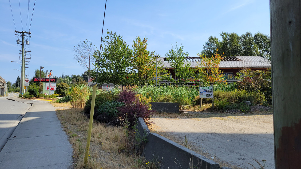
There's that dang pub under the bridge again!
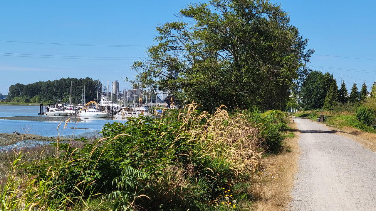
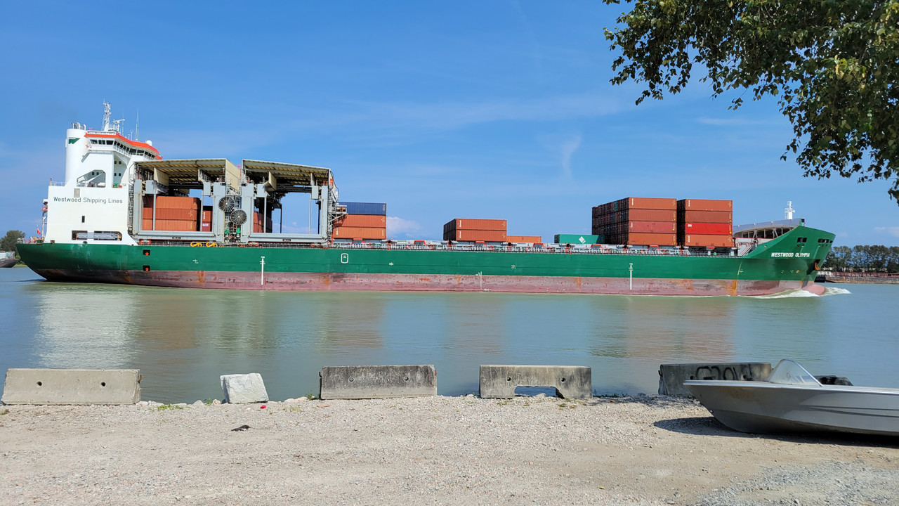
Hugging the river...
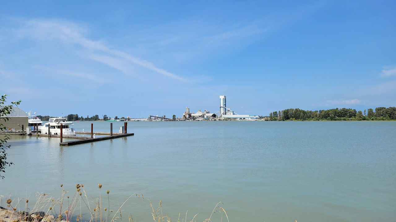
Across the river from that cement plant I had to detour around last week...
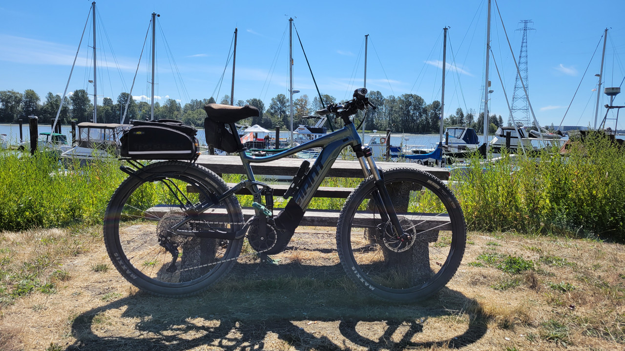
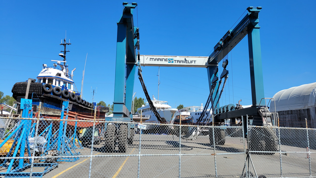
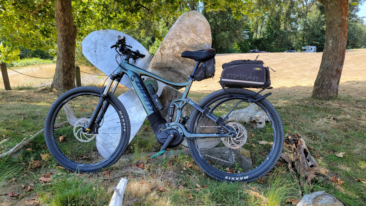
Not sure what that thing is, but I used it to prop up my bike. Deas Island Park...
Old machine meets new...

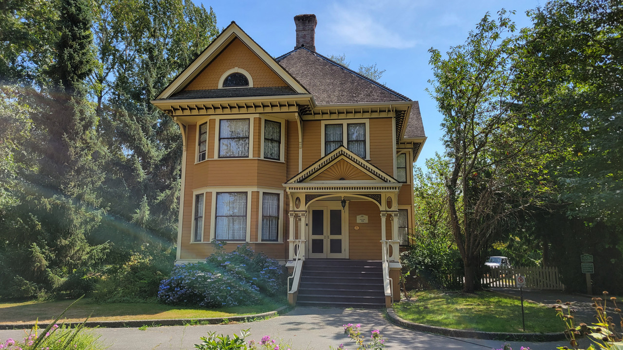
Burr house https://www.waymarking.com/waymarks/WM943Z_Burr_House_Delta_BC
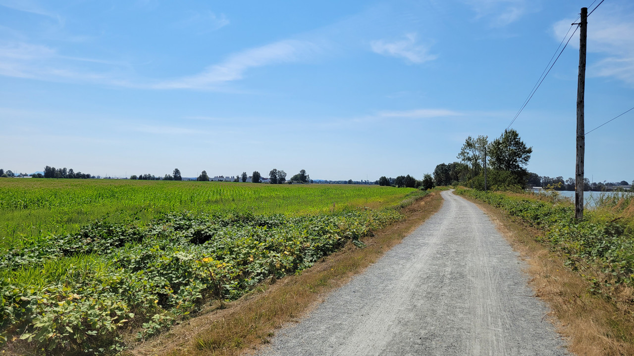
Millenium trail...
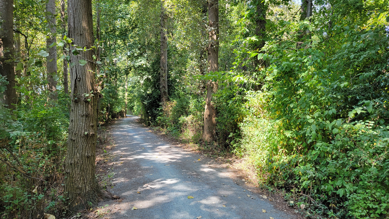
Heading under the highway that leads to the Deas Island tunnel...
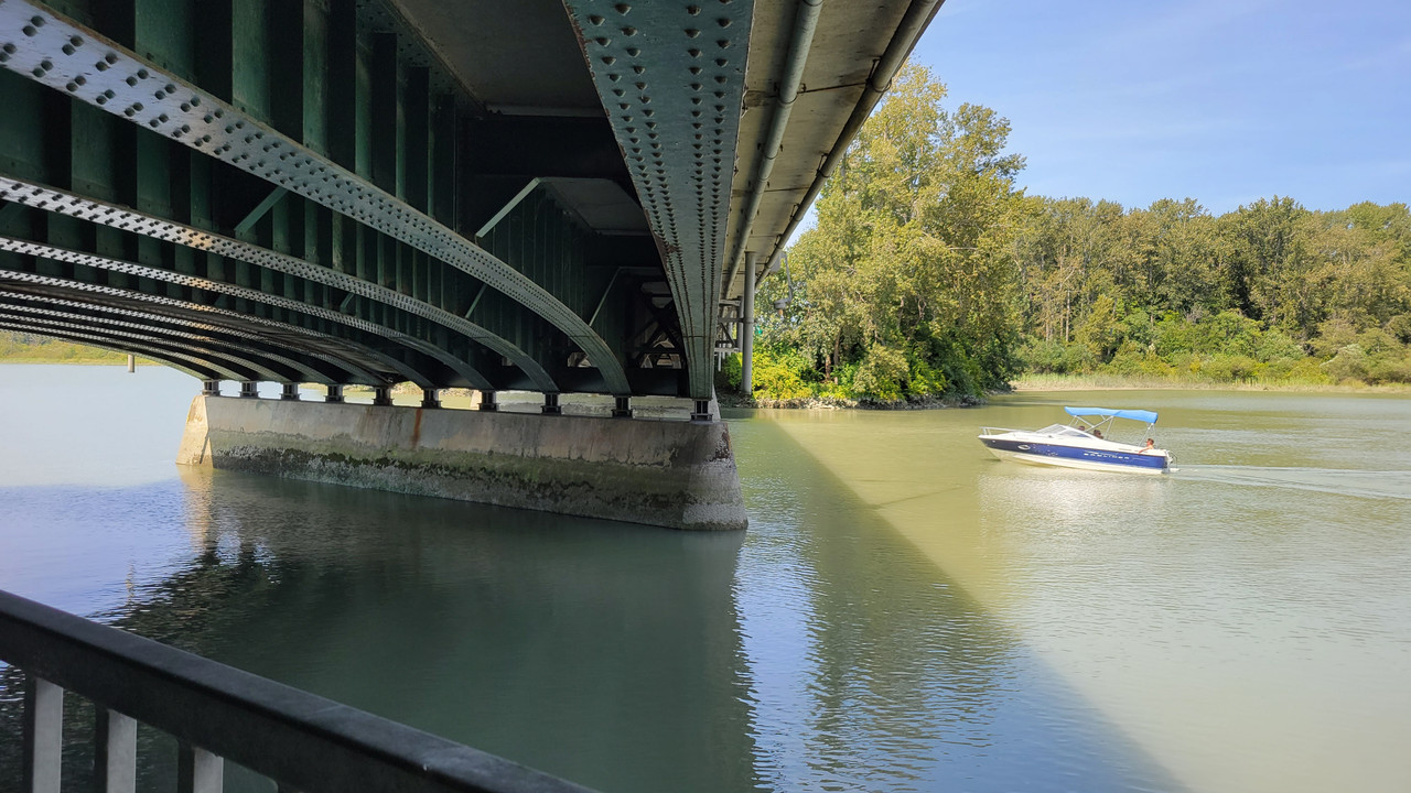
Now entering Ladner...

First bicycle radar speed indicator I've seen... It's accurate too...

Ladner shops...
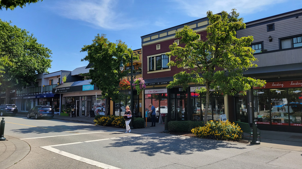
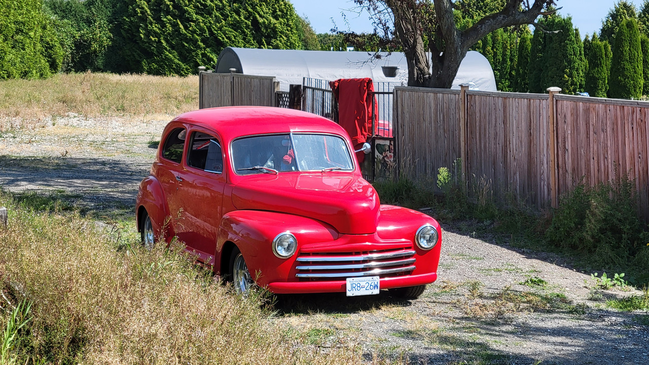
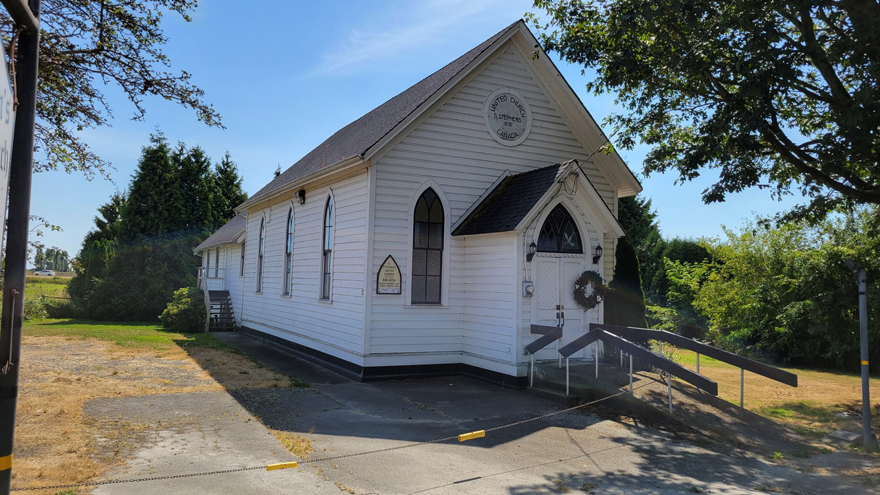
Here's a church from 1891. It's still running services and day care...
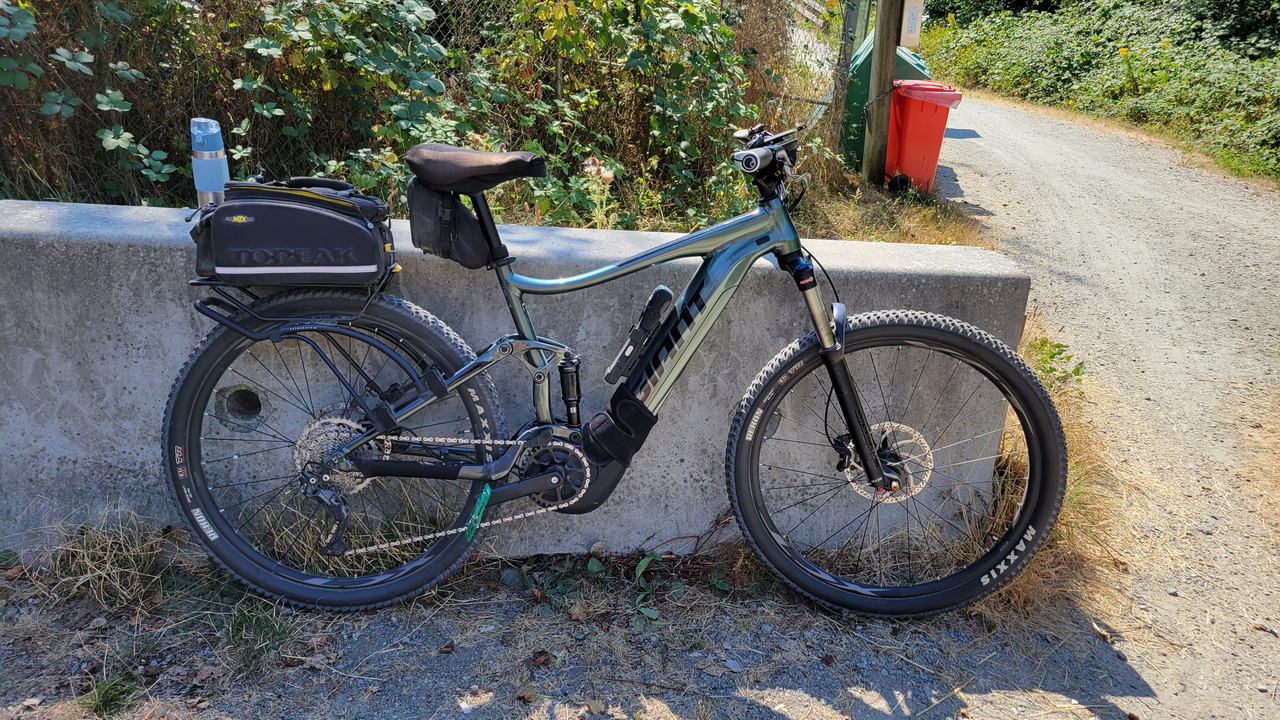
Stopped for some water at Watershed park heading home and met 4 more emtb riders. Three Treks and a Liv.

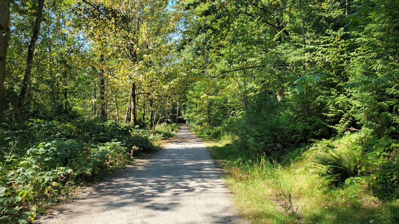
Even though I had gone 40kms with 70% battery left, the last 5 kms of hills brought that rate down. Still the average I expect which is not bad...


There's that dang pub under the bridge again!

Hugging the river...

Across the river from that cement plant I had to detour around last week...

Not sure what that thing is, but I used it to prop up my bike. Deas Island Park...

Old machine meets new...

Burr house https://www.waymarking.com/waymarks/WM943Z_Burr_House_Delta_BC

Millenium trail...


Heading under the highway that leads to the Deas Island tunnel...

Now entering Ladner...

First bicycle radar speed indicator I've seen... It's accurate too...

Ladner shops...


Here's a church from 1891. It's still running services and day care...

Stopped for some water at Watershed park heading home and met 4 more emtb riders. Three Treks and a Liv.


Even though I had gone 40kms with 70% battery left, the last 5 kms of hills brought that rate down. Still the average I expect which is not bad...

Surrey Pete
Well-Known Member
- Region
- Canada
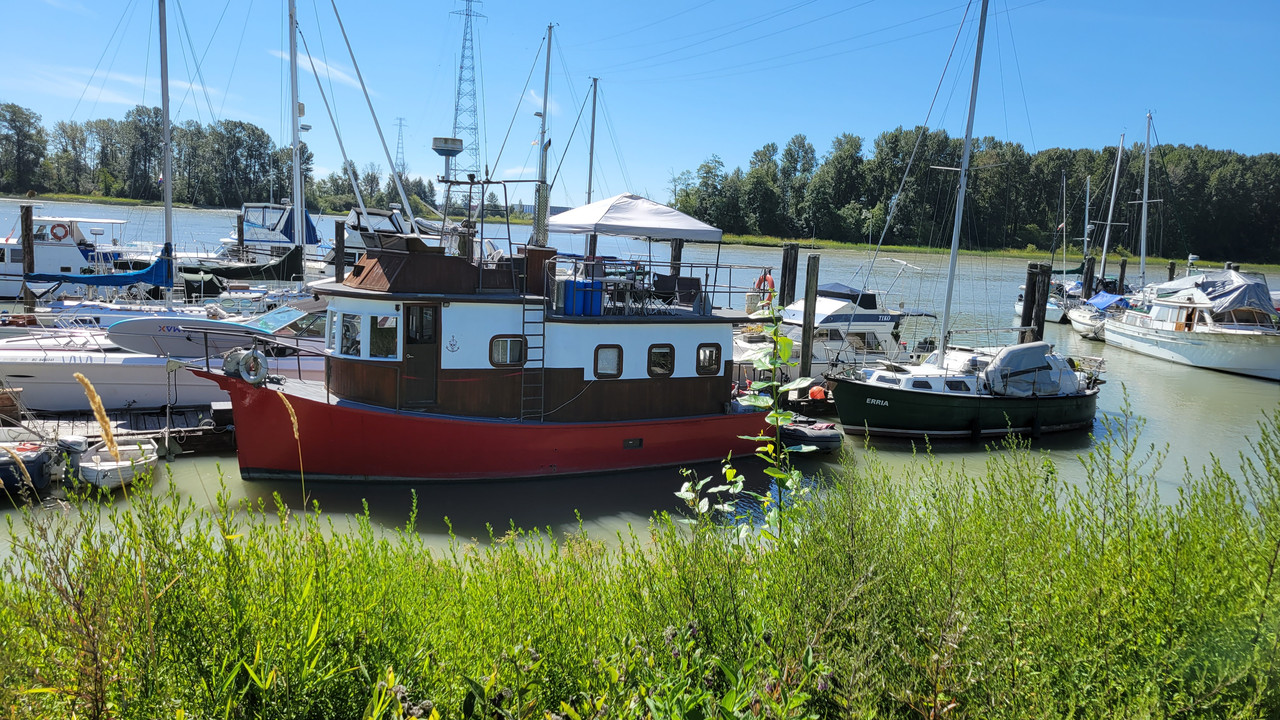
Lot's more to see if you continue on River Road in Ladner. Wonder what it's like living on a floating home.......


DaveMatthews
Dave's not here. Cheating since 2018
- Region
- Canada
Yeah, the ride around to Brunswick point is nice.Lot's more to see if you continue on River Road in Ladner. Wonder what it's like living on a floating home.......View attachment 132749
View attachment 132750
ChezCheese:)
Well-Known Member
- Region
- USA
- City
- Kitsap Co, WA
Location?? Location?? Location??
Similar threads
- Replies
- 30
- Views
- 2K
- Replies
- 1
- Views
- 2K
- Replies
- 1
- Views
- 589
- Replies
- 338
- Views
- 18K

