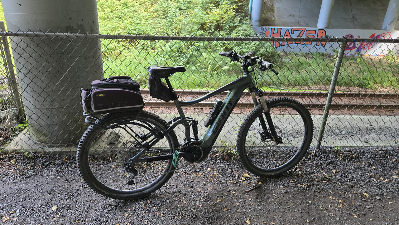
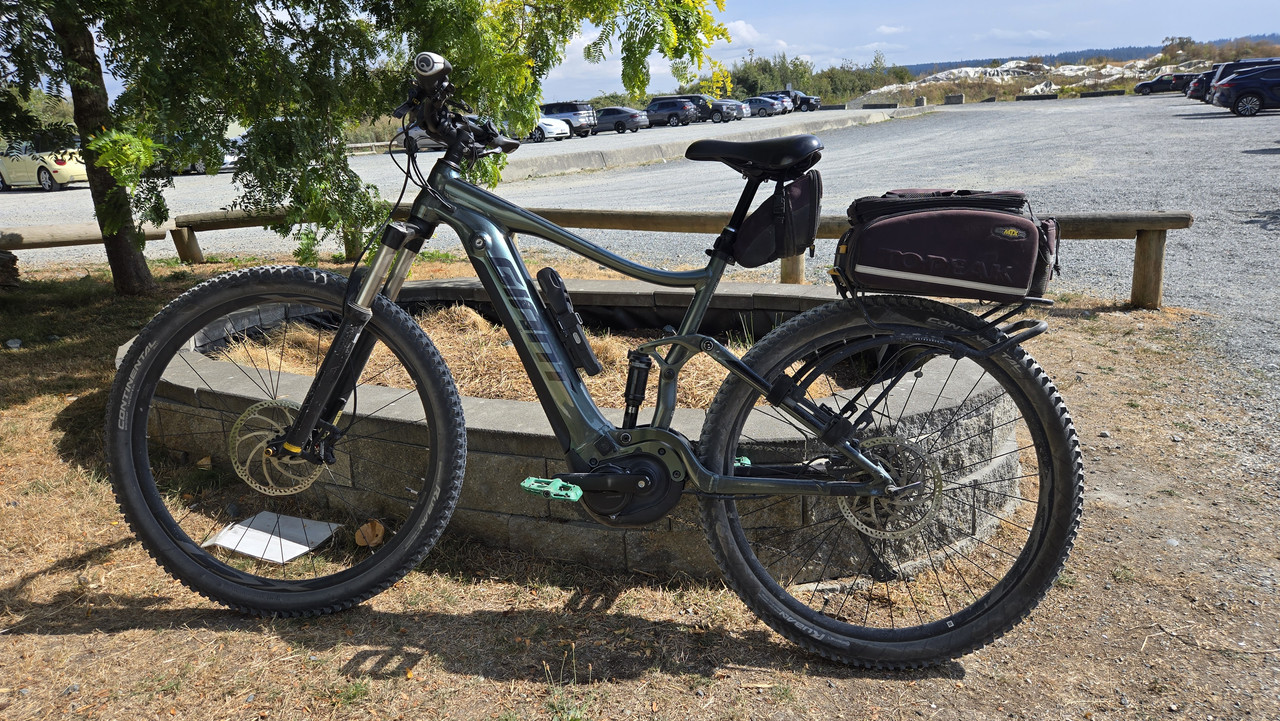
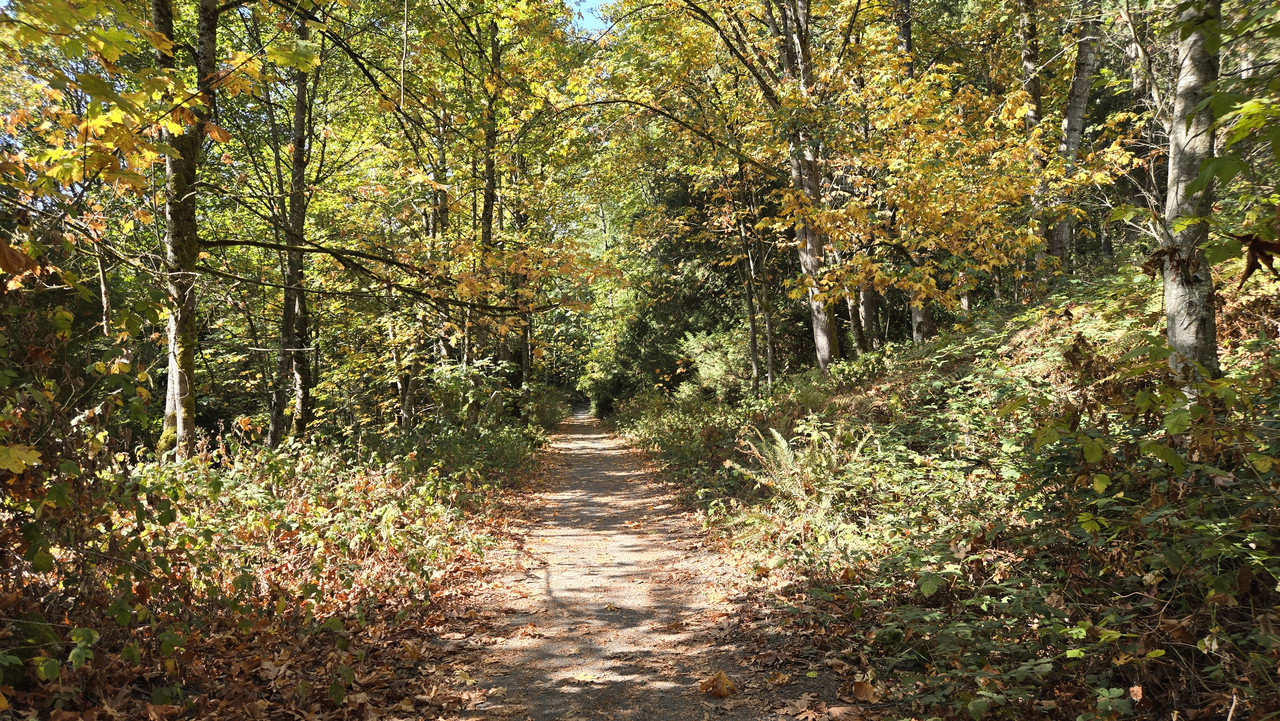
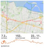
Show us pictures of where you ride your ebikes!

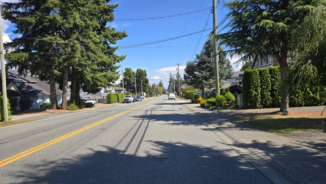
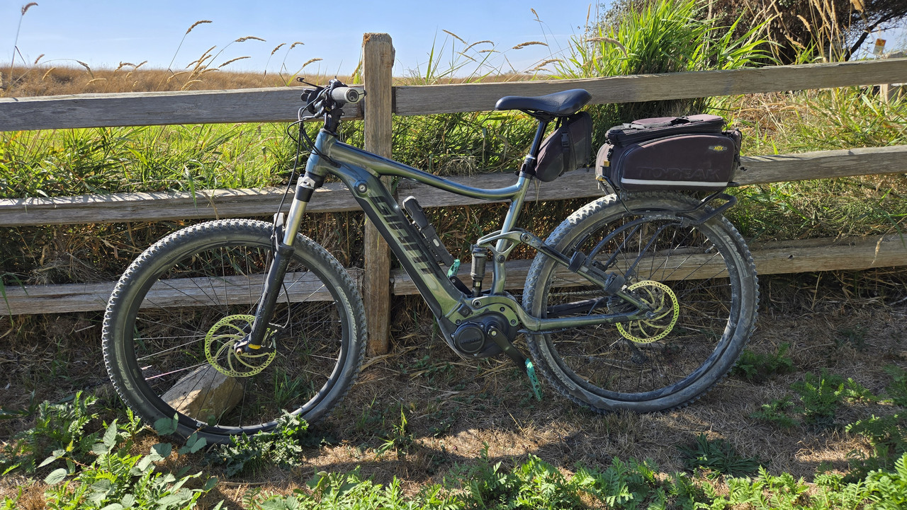
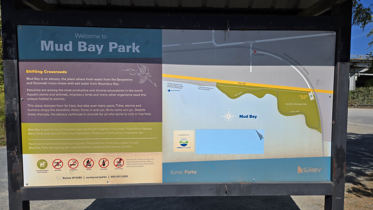
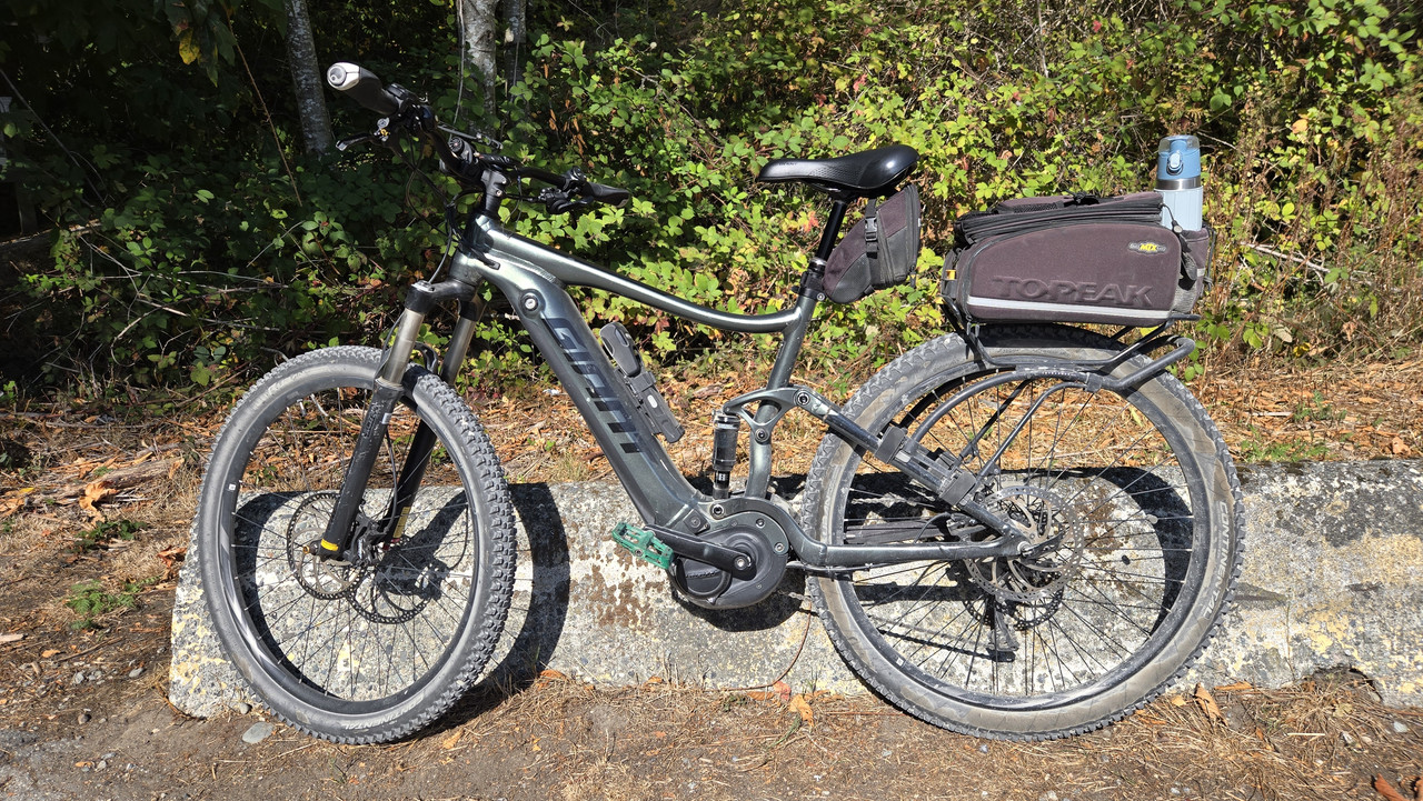
Alternate route to Mud Bay today.
Temps are lower lately and I left around 19C so packed a long sleeve just in case.
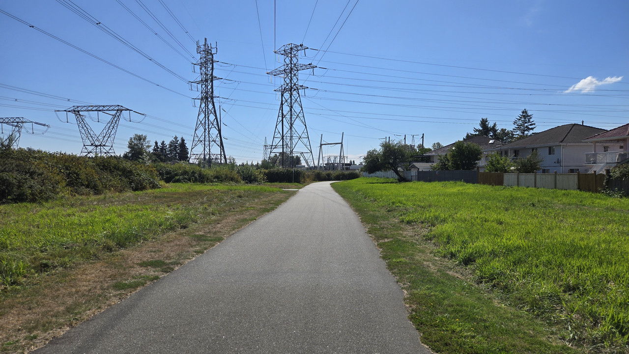
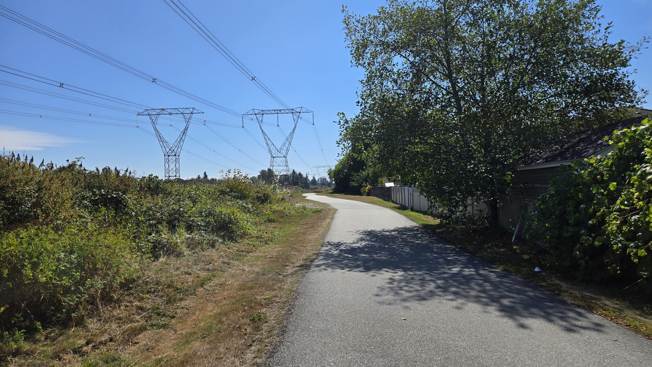
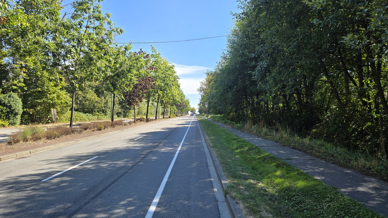
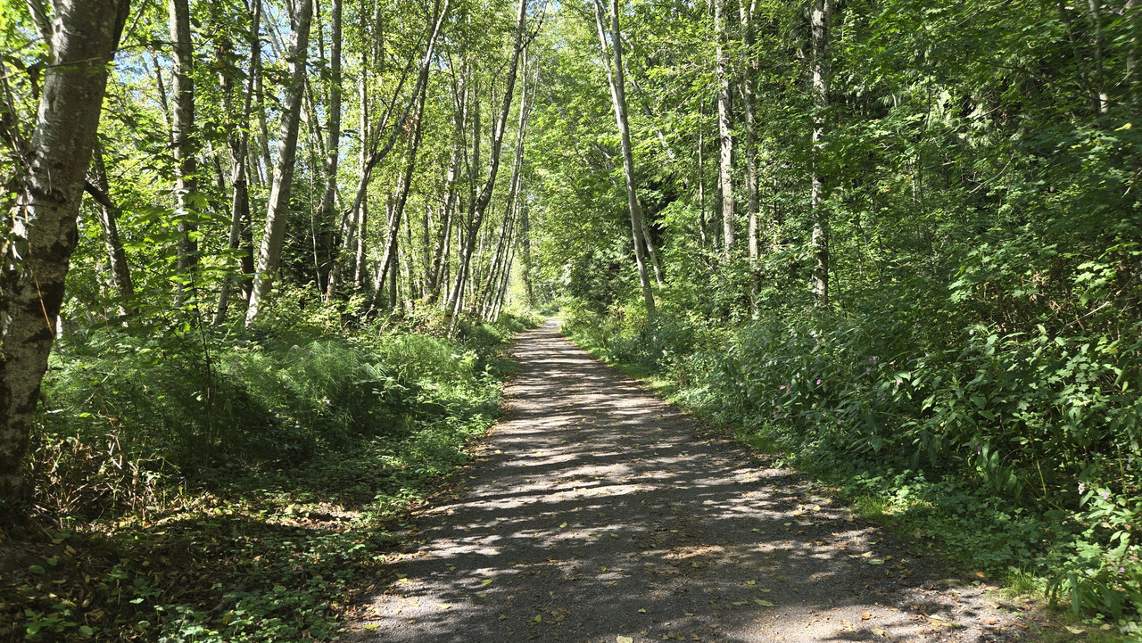
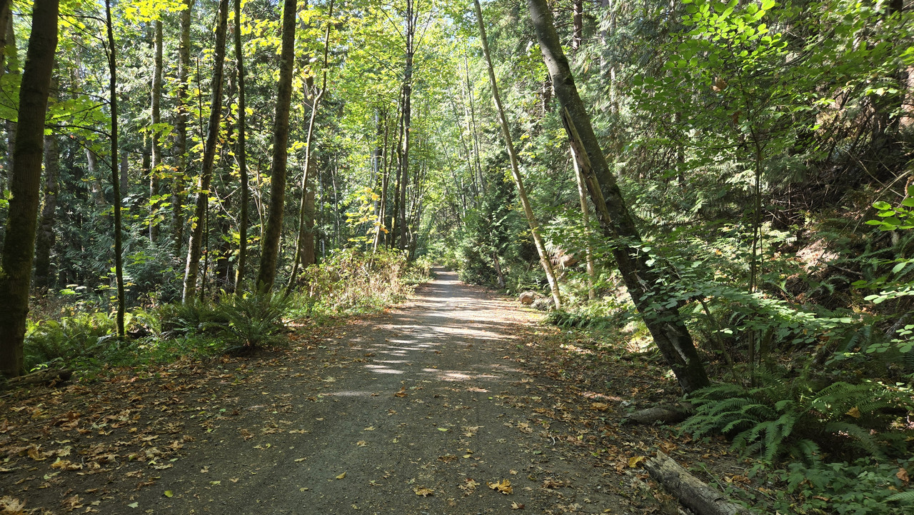
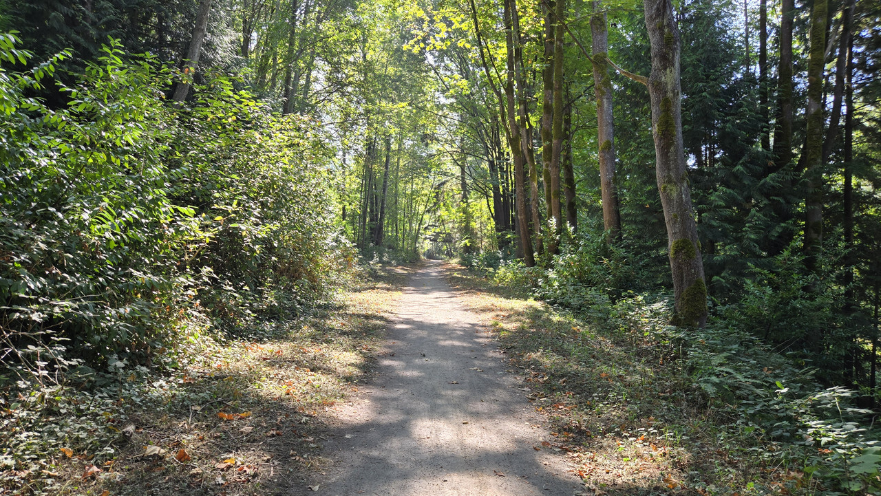
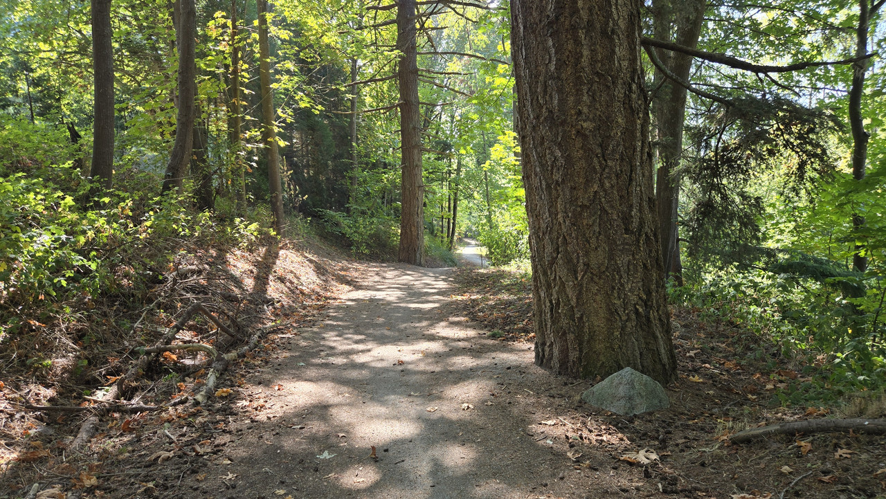
Decided to take a greenway I often ride, but rarely take it the whole way, so...
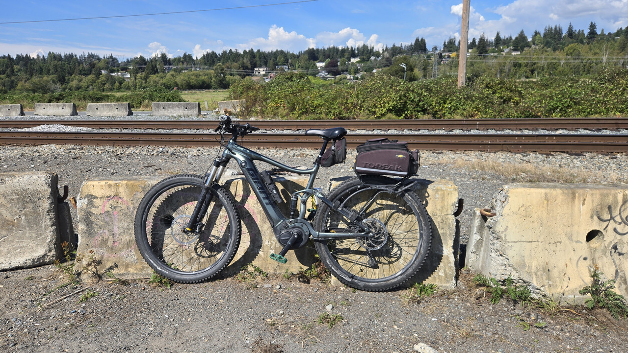
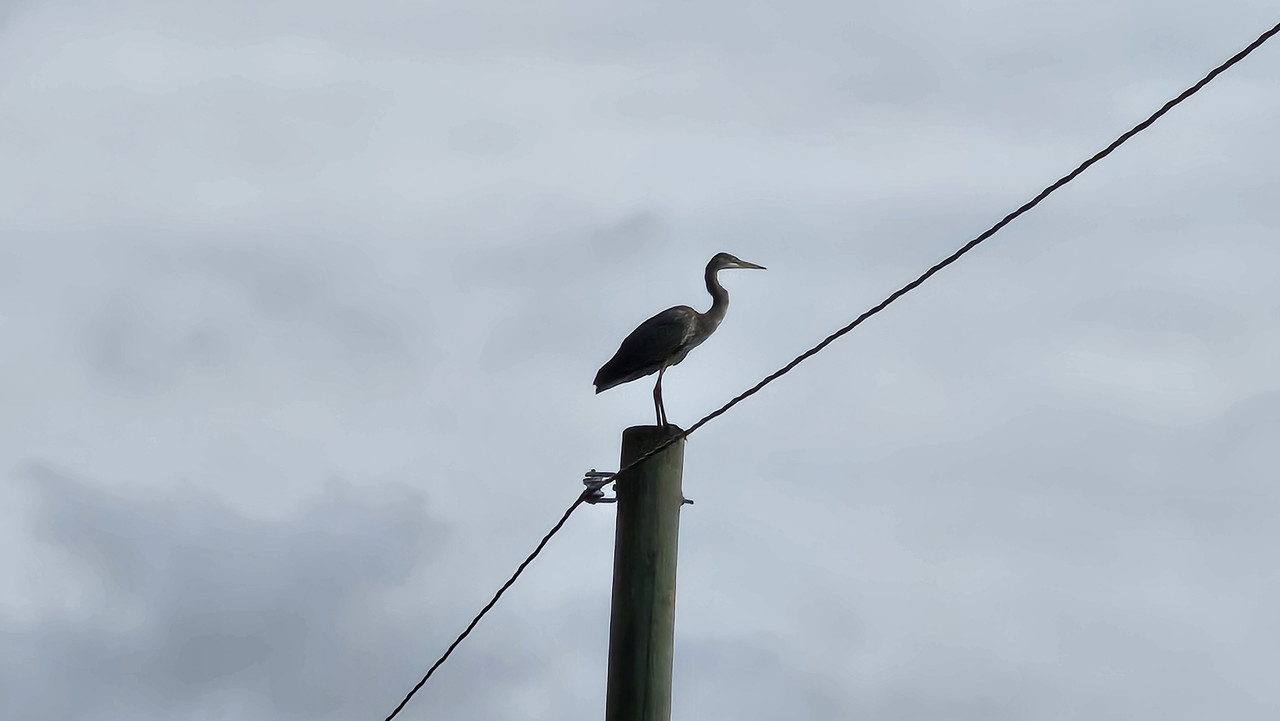
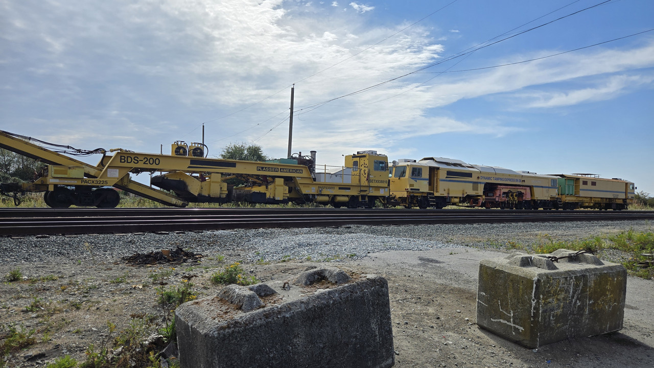
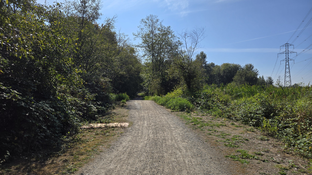
Pretty busy power infrastructure...


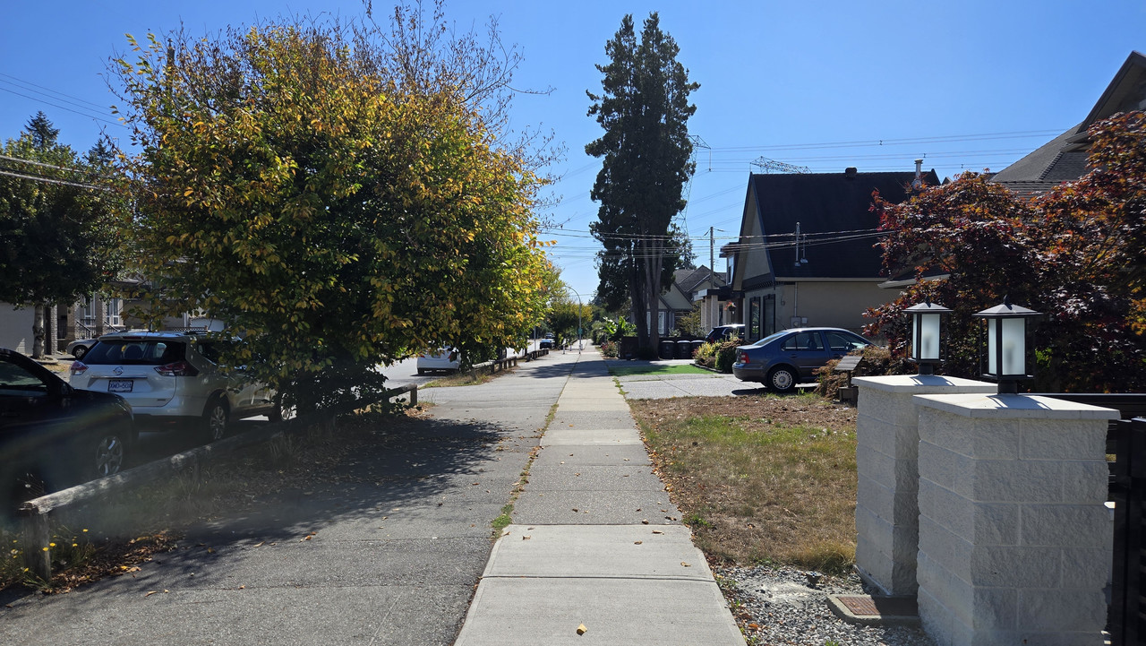
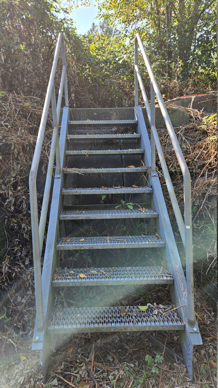
Now dropping onto roads...


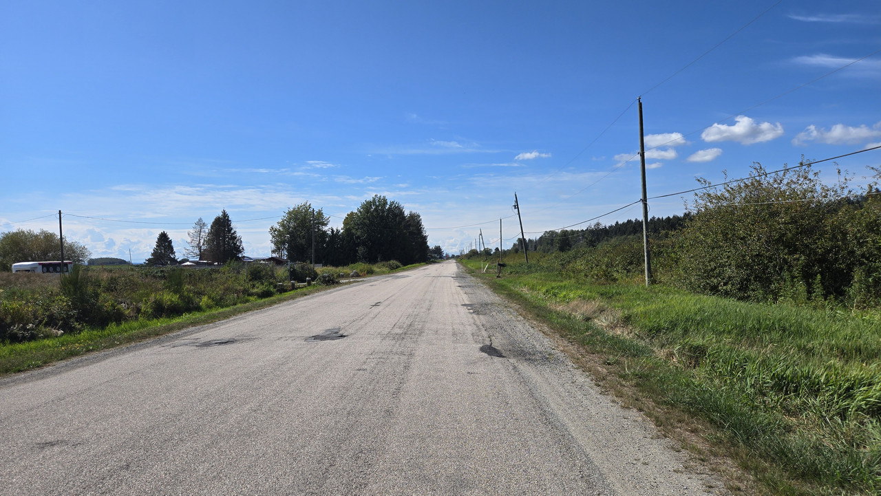
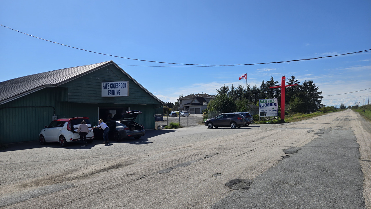
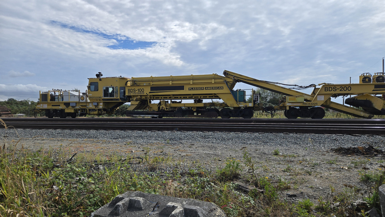
Took that frontage road I rode a couple of weeks ago...


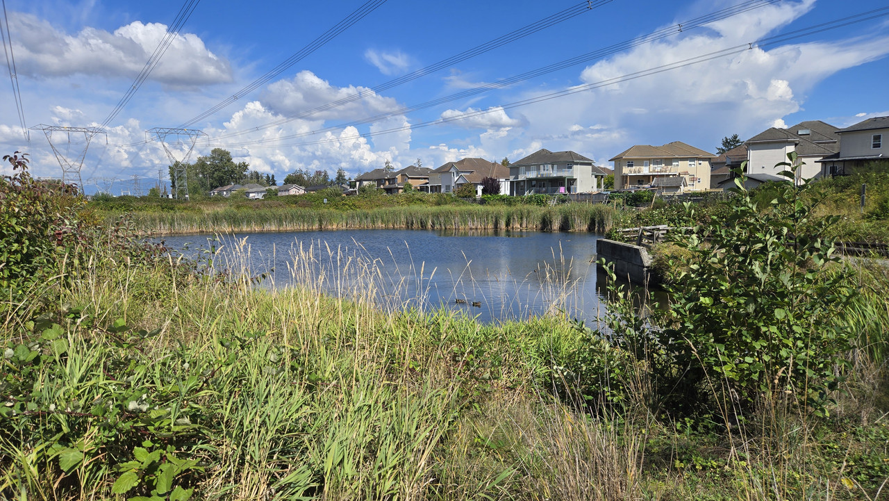
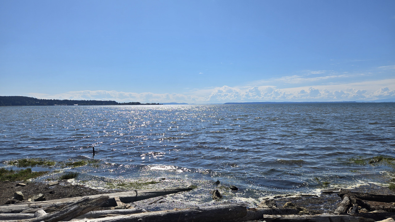
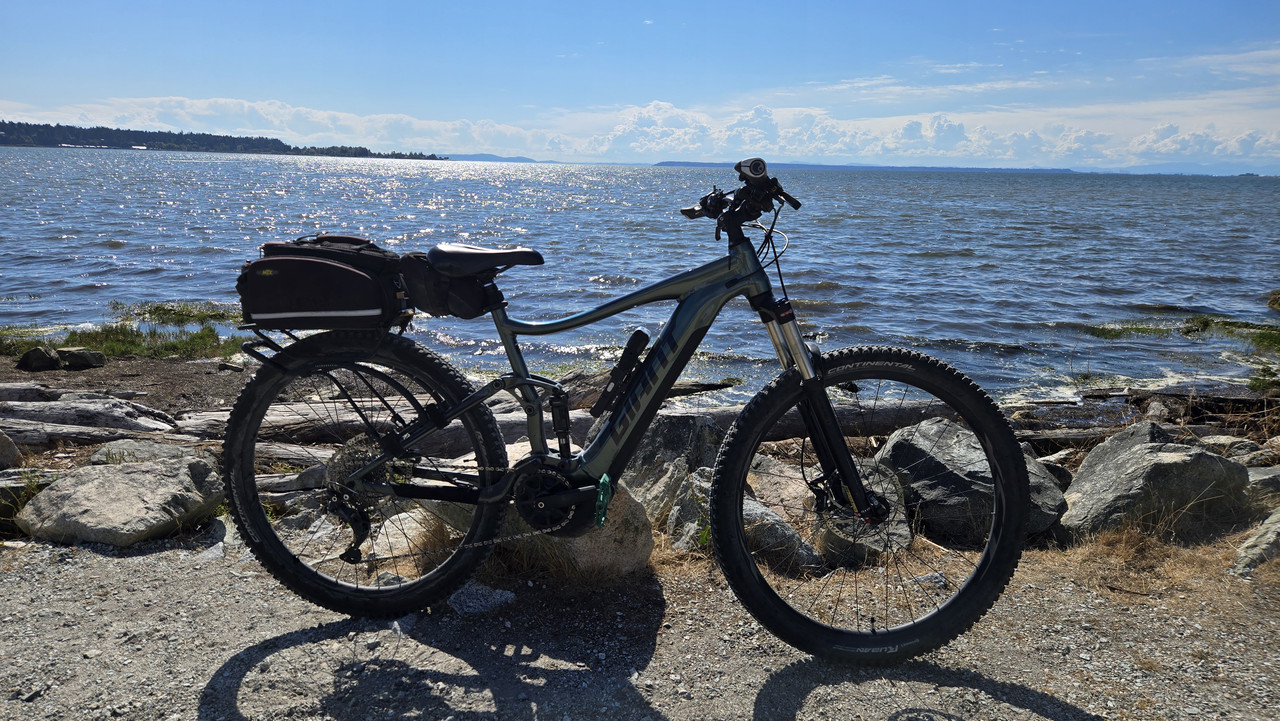
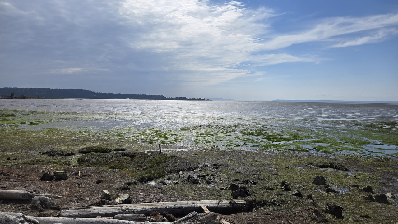
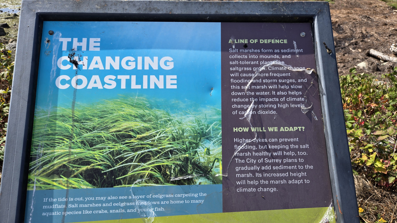
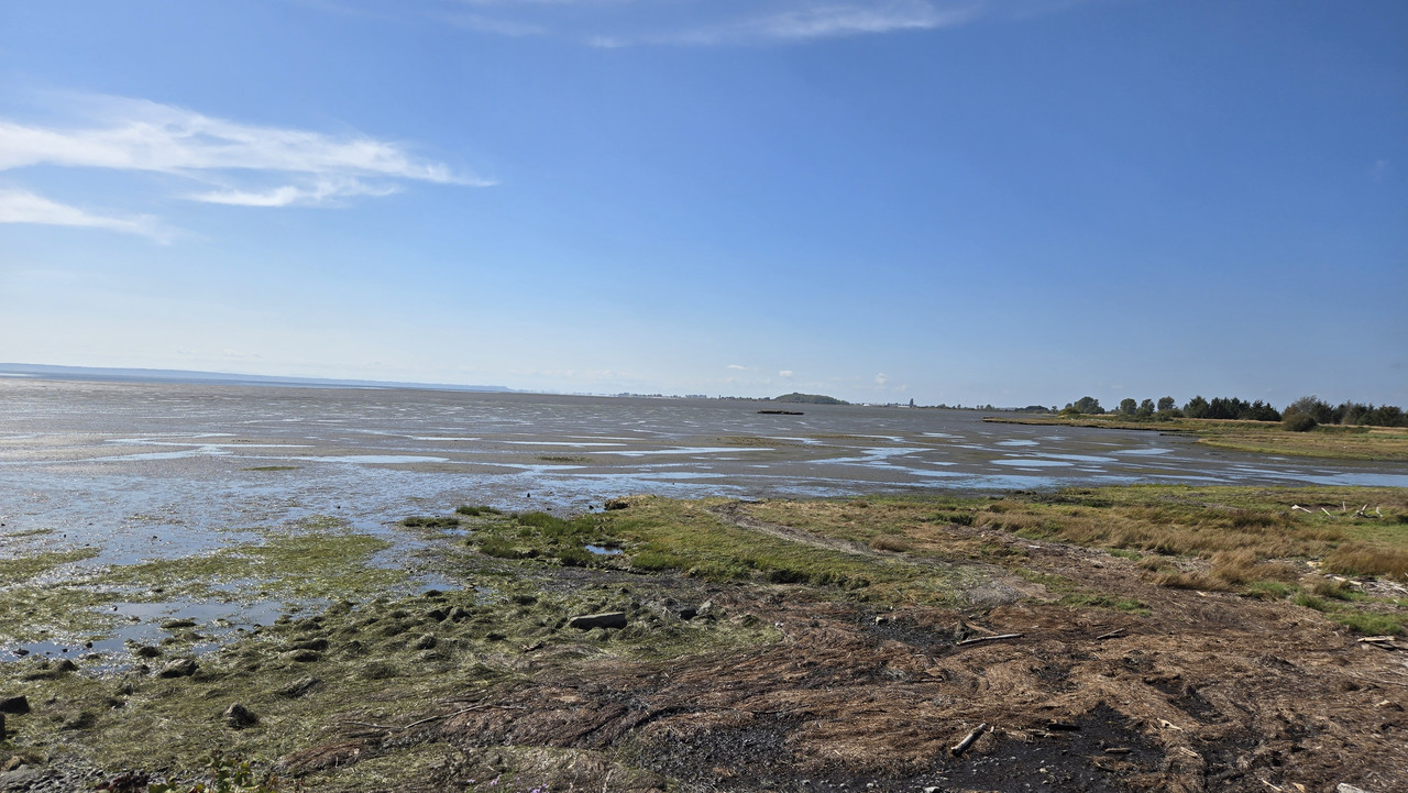
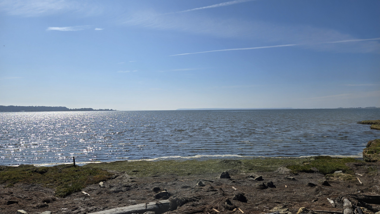
Holy! The tide is in mate!


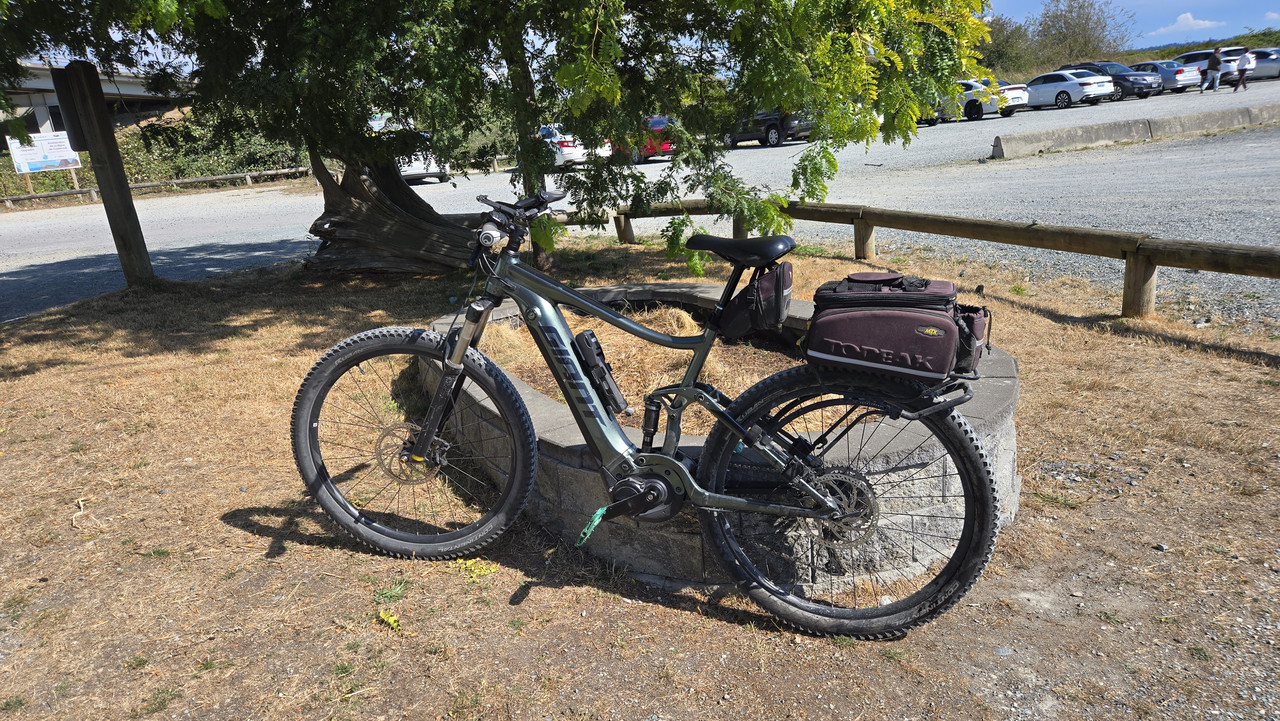
And off home...

 
Alternate route to Mud Bay today.
Temps are lower lately and I left around 19C so packed a long sleeve just in case.
Decided to take a greenway I often ride, but rarely take it the whole way, so...
Pretty busy power infrastructure...


Now dropping onto roads...


Took that frontage road I rode a couple of weeks ago...


Holy! The tide is in mate!


And off home...


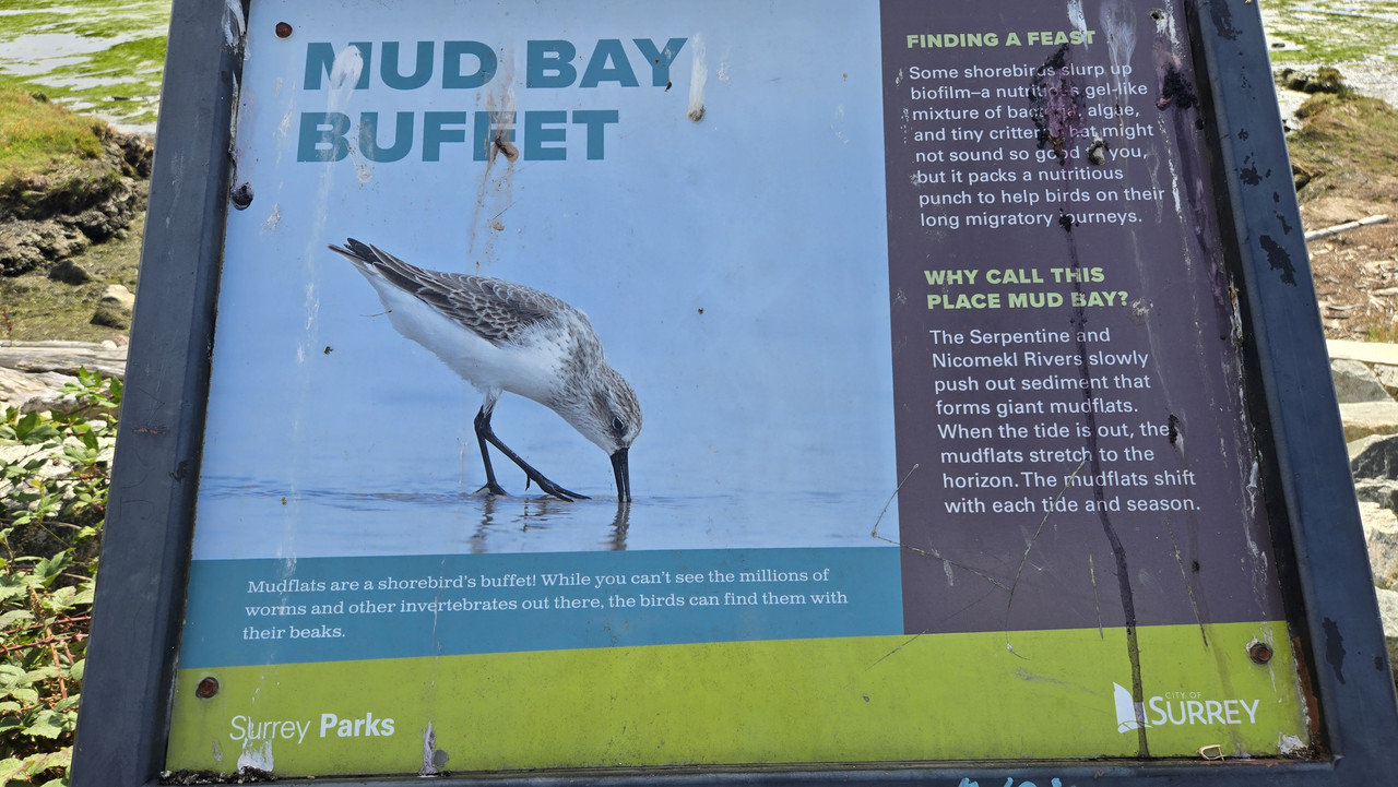
Mud Bay with no mud showing? Must've been quite a high tide, but maybe not too surprising a few days before the new moon.
 
The trouble with Marie
Unusual September skies these last 3 days from former Hurricane Marie, now down from a Cat 1 to a post-tropical cyclone some 700 mi SW of San Diego.

Screenshot_20260906_203733_Windyapp.jpg

Marie 2-3 days ago as a Cat 1 some 600 away. No chance of landfall now, but SoCal's still feeling her many far-field effects — including unseasonal rain, temperatures and humidities 10-20°F and 30-40% above normal, and dangerous, damaging surf riding in on unusually high tides.

Screenshot_20260906_204005_Chrome.jpg

Light distal rainbands with gusty winds swept through here (coastal San Diego County) day before yesterday, when this satellite image and most of the photos below were taken.

20260906_135747.jpg

The winds were far from damaging here, but they did take down many of the gorgeous orange blooms on this African tulip tree, one of my neighborhood favorites.

20260906_135321.jpg

Clear skies are the rule around here in September. But Marie's been serving up something quite different — dramatic high stratus or cumulostratus cloud decks with sporadic rain.

20260906_154828.jpg

No sun, but wore my cycling glasses anyway, as they somehow made the clouds look even more dramatic.

Screenshot_20260906_203414_Photos.jpg
Screenshot_20260906_203429_Photos.jpg

The good news: Marie's also given us unusually dramatic September sunsets 3 evenings in a row now.
20240908_191339.jpg

A much more typical September sunset in SoCal — not a cloud in the sky. Mandalay Beach, Oxnard, CA, September, 2024.

East Pacific hurricanes
Most people think of the Atlantic when they hear "hurricane", but these powerful storms also ply the East Pacific, and they're on the rise here. The closest to us typically sweep north off Mexico, then hook west out to sea without landfall.

_130851398_hilary_2023_20_aug_0200-nc.png


But not so in 2023, when Hurricane Hillary passed through San Diego County just east of us. She was down from a Cat 4 to a post-tropical storm by then but still did significant damage inland.

So we keep a close eye on these storms nowadays. As Marie's reminding us now, they can cause significant trouble even from 600 mi away.

Business as usual
20260906_141656.jpg
20260906_141657.jpg

Thought for sure the rain and gusty winds would put a damper on hummingbird operations, but our feeders were hopping as usual.

20260906_141346.jpg

This one shot past me like a bullet. Fast little buggers.

20260906_141738.jpg

Likewise, this banner tow plane was still about its business of tempting tourists from well below the high clouds.
 

Attachments

  • 20260906_141657.jpg
    20260906_141657.jpg
    303.7 KB · Views: 5
  • 20260906_141656.jpg
    20260906_141656.jpg
    294.8 KB · Views: 5
Last edited:
Far-field Marie mischief to our north in Long Beach, CA.


Spectacular wave reflections off the seawalls at 5:00. Some seawalls failed in this barrage. Others were weakened. Lots of property damage from local wave flooding. This and other south-facing shorelines took the worst beatings.
 
Last edited:
Back