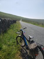
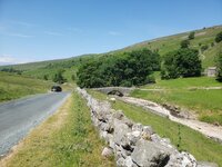
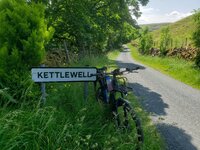
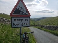
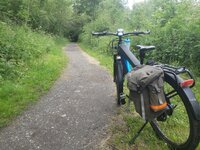
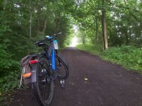
Show us pictures of where you ride your ebikes!

Courtice, ON
 

Attachments

  • IMG_0775.jpg
    IMG_0775.jpg
    588.3 KB · Views: 153
  • IMG_0778.jpg
    IMG_0778.jpg
    671.1 KB · Views: 149
  • IMG_0781.jpg
    IMG_0781.jpg
    815.8 KB · Views: 147
  • IMG_0782.jpg
    IMG_0782.jpg
    587 KB · Views: 137
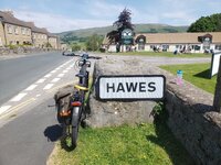
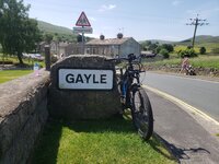
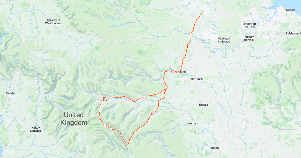
yesterdays ride ... well thought i had worked it out ok mileage=twin batteries :rolleyes::rolleyes: . used my usual cyclists lanes to get to Hawes Piercebridge- Aldbrough- st-John- over the A66 -Richmond -Redmire- Askrigg- Hawes . it was very busy and queues so had a bannana while sat outside the Wensleydale creamery at the foot of the start to climb Fleet Moss. went through Galye then its just up and nothing else, once at the top all was good and headed down the other side , through places that brought back memories of rides i had done this way years ago. Oughtershaw- Yockenthwaite- Hubberholme- Buckden.
this was where i had to make a choice left and head back ...up Kidstones (56 mile point) . as i had no time restraints and still 3 bars showing went right and headed to Kettlewell then turned left and attacked Park rash. (note to self you are almost 66 not 36), thee Rohloff did its job and got us both up just (65 mile) . the ride down Coverdale seemed to take ages and on reaching Layburn ,
was when i started to doubt of making it knocked it down to eco mode . boy that was a shock to the old legs (used to tour mode all day)...once i got through Richmond and dropped down to Gilling West the climb up to re-cross the A66 felt like FLEET MOSS 😢 by now i was turning motor off for the level and trying to keep what i had left for the last climb at Walworth... power went 50 yards after the top (101 mile) those last 6 miles home almost killed me :laugh::laugh: but once i got to Highington i knew it was all down hill
mileage 107 Miles 7,625 FT... was a funny old day


20210628_114946.jpg20210628_115003.jpg20210628_120559.jpg20210628_121934.jpg20210628_122535.jpg20210628_131905.jpg20210628_140353.jpg20210628_142318.jpg20210628_143244.jpg
 
after Mondays epic ride ..needed to loosen the old legs up so just a short trip to Barnard castle via off road route and back lanes, as it was not as warm thought it would be ok to call in at my fav coffee stop the Teesdale Tea Room .
.excellent staff and good grub .came back via a short section of the A66 .. as Whorlton bridge out of action .whizzed through Eppleby my other coffee as there was no one around and was getting a tad chilly.
ended up doing 45 miles and the old legs feeling canny

now this is a bacon sarnie :D:D
20210630_124544[1].jpg

was not all that bad today :D:D
A66.jpg
 
was to be a short trip to collect 2 locks i had ordered for my and karons e-bikes (needed them keyed the same as the other locks).decided to go via the ncn 715 picking it up at Bishop Aucland just over the Newton gap viaduct ,which now is also the entrance for Kynren .
not used this route in years but it leaves all the traffic and was excellent. after crossing over rough lea lane it turns into the ncn70 getting through sunnybrow- Willington- Brandon- ,on reaching broom lane headed for Neville's cross and the A167 (cyclepath) runs along side all the way to Framwellgate Moor and the e-bike shop.
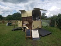
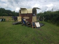
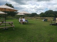
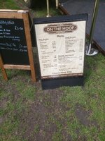
on the return leg when i got to Broompark picnic area i appeared to get a little muddled, and ended up going towards Crook. but on the good side i found aa great place for a coffee stop , a young lad with a converted horse box into a mobile cafe ( ON THE HOOF ) its called so i just had to stop.
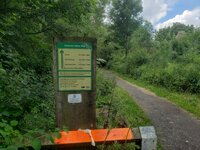
coffee and a toasted teacake filled a hole, after going a few more mile and not recognised anything i had passed i asked a local who told me i was not were i wanted to be lol .turned round and made my way back to picnic area, and noticed were i went wrong
once back on track i made good time as i could see rain clouds building. but as i got back to the viaduct the heavens opened thunder and lighting (pleased i had my jacket ).a very very wet ride to tindale- through shildon to pick up the cycle path back to Aycliffe. ended up doing 49 miles almost 40 of them traffic free.
 

Attachments

  • 20210707_102614.jpg
    20210707_102614.jpg
    1.3 MB · Views: 169
  • 20210707_131051.jpg
    20210707_131051.jpg
    1.1 MB · Views: 160
  • 20210707_132108.jpg
    20210707_132108.jpg
    647.4 KB · Views: 172
  • 20210707_132144.jpg
    20210707_132144.jpg
    799.1 KB · Views: 157
  • 20210707_132155.jpg
    20210707_132155.jpg
    693.4 KB · Views: 166
  • 20210707_132849.jpg
    20210707_132849.jpg
    657.8 KB · Views: 151
  • 20210707_133941.jpg
    20210707_133941.jpg
    538.6 KB · Views: 157
  • 20210707_134610.jpg
    20210707_134610.jpg
    919.3 KB · Views: 152
  • 20210707_134650.jpg
    20210707_134650.jpg
    1.2 MB · Views: 149
  • 20210707_152235.jpg
    20210707_152235.jpg
    576.1 KB · Views: 140
a nice accidental ride to Powell butte in PORTLAND OR. I meant to go to this mount tabor and I missed one turn (I guess I was on auto pilot to the bike path) then I forgot to turn again to get back on track so we decided to go up Powell butte. we took the smoother path but till roots and a few turns made it hards on the tandem. but we managed and made it to the top. last Monday when the city saw 115 degree temps this would have been hell its so dry up here anyway and surrounded by city it would have been so hot.

q
IMG_2973.jpeg
IMG_2974.jpeg
IMG_2975.jpeg
IMG_2976.jpeg
IMG_2977.jpeg
IMG_2978.jpeg
IMG_2979.jpeg
IMG_2980.jpeg
IMG_2981.jpeg
 
a nice accidental ride to Powell butte in PORTLAND OR. I meant to go to this mount tabor and I missed one turn (I guess I was on auto pilot to the bike path) then I forgot to turn again to get back on track so we decided to go up Powell butte. we took the smoother path but till roots and a few turns made it hards on the tandem. but we managed and made it to the top. last Monday when the city saw 115 degree temps this would have been hell its so dry up here anyway and surrounded by city it would have been so hot.

qView attachment 92621View attachment 92622View attachment 92623View attachment 92624View attachment 92625View attachment 92626View attachment 92627View attachment 92628View attachment 92629
That looks like an excellent error! :D :cool:
 
ya we have not went up since last summer. stronger so it was not as hard. still tricky on a tandem avoiding roots and such. my wife is blind and she treats out on sudden dips and such.
Yes I can imagine being in that situation. Good on you guys for getting out there. You must be in constant verbal contact with Mrs. Foofer in order to keep her in the know!
 
we went on a nice mountain bike ride on our tandem I had a route all mapped out. well it Wass a 20 mile ride to the top. doing down the map had us go on a fire road. it was Fine for awhile then it got way to tricky for a tandem. so we walked it down the rest of the way a bit crazy but not too bad. so the map took us to another tail going down but it was for hiking. so stupid me figured we would walk the tandem down. well it was ok for a bit but it got worse and worse. but it seemed going back up with be impossible. we had 2 foot drops with roots we had to get the tandem down my wife was having a real fun time of it. someone coming up told us there were steep stains and it was like great. people coming down realized we were having issues and when we got to a really bad part right before those steep stairs. I don't think we could have gotten down them on our own. it was work for us too guys to carry the tandem down and to go around the turns till we got to the road.
we got to cross the St johns bridge and it was a fantastic view.
But this is the thing I used a app thats made to map bike rides and it chose that path even though it is a walking path. When I checked it on google choosing that path from where we were at the top to the bridge google chose that path too.; so it was a lesson for sure. that path would have been pretty hard for my wife without the bike. it was more work then riding. so we got across the bridge found a Chinese restaurant as we were a bit wobbly after getting down that trail. we had a whole battery left so we road the 15 miles back on full assist so we did not have to work too hard. luckily there was a 711 close so we both could get an energy drink after 4 dishes at the Chinese place. ti was pretty good too. 42 miles several miles of walking and over 2000 feet of climbing. You can see the end of the stairs. we had to lift the tandem high to get it around the corners.

IMG_3002.jpeg
IMG_3003.jpeg
IMG_3004.jpeg
IMG_3005.jpeg
IMG_3006.jpeg
IMG_3007.jpeg
IMG_3008.jpeg
IMG_3011.jpeg
IMG_3009.jpeg
 
we went on a nice mountain bike ride on our tandem I had a route all mapped out. well it Wass a 20 mile ride to the top. doing down the map had us go on a fire road. it was Fine for awhile then it got way to tricky for a tandem. so we walked it down the rest of the way a bit crazy but not too bad. so the map took us to another tail going down but it was for hiking. so stupid me figured we would walk the tandem down. well it was ok for a bit but it got worse and worse. but it seemed going back up with be impossible. we had 2 foot drops with roots we had to get the tandem down my wife was having a real fun time of it. someone coming up told us there were steep stains and it was like great. people coming down realized we were having issues and when we got to a really bad part right before those steep stairs. I don't think we could have gotten down them on our own. it was work for us too guys to carry the tandem down and to go around the turns till we got to the road.
we got to cross the St johns bridge and it was a fantastic view.
But this is the thing I used a app thats made to map bike rides and it chose that path even though it is a walking path. When I checked it on google choosing that path from where we were at the top to the bridge google chose that path too.; so it was a lesson for sure. that path would have been pretty hard for my wife without the bike. it was more work then riding. so we got across the bridge found a Chinese restaurant as we were a bit wobbly after getting down that trail. we had a whole battery left so we road the 15 miles back on full assist so we did not have to work too hard. luckily there was a 711 close so we both could get an energy drink after 4 dishes at the Chinese place. ti was pretty good too. 42 miles several miles of walking and over 2000 feet of climbing. You can see the end of the stairs. we had to lift the tandem high to get it around the corners.

View attachment 92995View attachment 92996View attachment 92997View attachment 92998View attachment 92999View attachment 93000View attachment 93001View attachment 93002View attachment 93003
Holy Carp!
Sorry you had a bit of a tough time on some of that ride, it was obviously unexpected.
That said you both have a major story to tell, and I'm impressed!
Chinese food was a great reward too :cool:
 
Four days ago my left knee became excruciatingly painful.
I did not ride at all.
I found it terrible to go up/down stairs and could hardly sleep. Was thinking arthritis. Bending my knee was terrible.
Today was not a lot different, but I got sick of it.
I went grocery shopping, and when I got back I made the decision to go for a ride... short or long I didn't care.
Threw my Stance on the work stand, cleaned it up, did some maintenance and headed out.
The first half of the ride was hard. My knee at the top of the rotation was so tight and painful, especially the first few minutes.
Second half of the 20Kms was a little better so I tackled a 12% grade on the way home.
Dammed if I don't feel 50% better now.
Tomorrow will tell me how smart/stupid that was...


Back