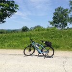
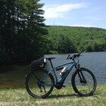
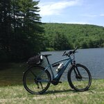
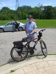
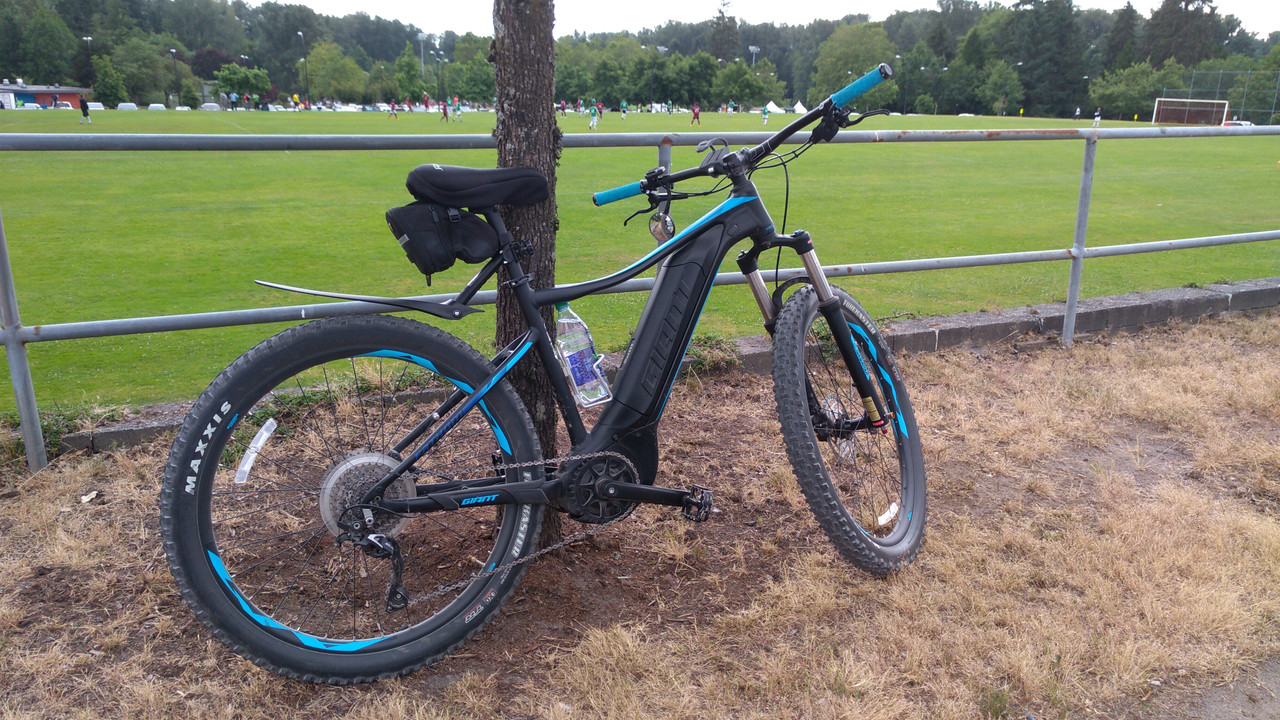
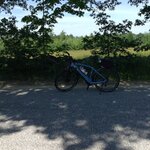
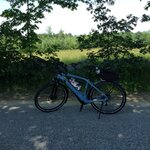
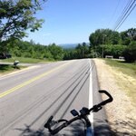
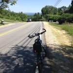
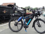
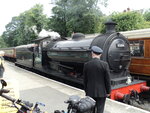
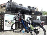
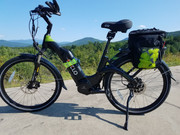
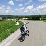
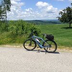
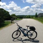
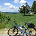
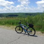
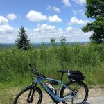
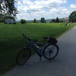
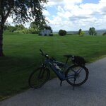
Show us pictures of where you ride your ebikes!

In this post there isn't a bike, e-bike or otherwise, to be found anywhere although some may find interest in it. ;) Way back on page 20, post #400 I posted regarding a ride that my wife and I undertook following the river Donau (or Danube in English) made famous of course by that catchy little tune by Johann Strauss II, 'The Blue Danube'.

Donauquelle_E.JPG

We intend repeating part of this ride once again in a few weeks time although as some sections will involve a small river cruiser we are able to extend our range all the way to Budapest in Hungary.

At some point over the winter the thought struck us that we'd never actually visited the source(s) of this famous river although located less than 150km from our home and so this past weekend we corrected that.

The source(s) of the Donau (Danube) has been heavily contested over the centuries mostly of course for financial reasons. However, in geographical terms it is agreed that the rivers Brigach and Breg which appear out of the ground some 40km - 45km West and NorthWest respectively of the town of Donaueschingen, with the Breg having the larger water flow and, therefore, considered the prime contributor,
are the undisputed sources.

The source of the Brigach (Brigachquelle) is located adjacent to a farmhouse where it trickles out of the ground, gets used to form a pond, before flowing Eastwards.

Brigachquelle_A.JPG Brigachquelle_B.JPG

The source of the Brig (Brigquelle) is located at the end of a hilly road close by to a Restaurant which no doubt see a handsome return from tourists like us visiting the main attraction. The statue at the source is of the Roman God 'Danuvuis', the River God. The second image shows the actual point that the Brig rises out of the ground.

Brigquelle_A.JPG Brigquelle_B.JPG

The Brigach and Breg rivers flow their separate ways Eastwards towards the town of Donaueschingen where, underground in the Palace Gardens, they are joined with water from the Baar Plateau 600m - 900m above sea level. The statue is of Mutter Baar (or Mother Baar) indicating with a pointed finger to her daughter the direction of the Black Sea, some 2700km plus distant, the basin of which the Donau (Danube) flows into.

Donauquelle_A.JPG Donauquelle_B.JPG Donauquelle_C.JPG Donauquelle_D.JPG

A further 1500m to the East of Donaueschingen the Brigach and Breg come together (the confluence) and from this point on the name Donau (Danube) is adopted.

Brigach-und-Breg-Zusammenfluss_B.JPG Brigach-und-Breg-Zusammenfluss_A.JPG
 
Last edited:
10 days since my last ride so I was itching to get out today, the weather was perfect for a change:D 66.8 very enjoyable miles with almost 4500 ft of climbing, my battery (and me) got a good workout today;) 1812 miles now for 2019 at the half way point, only 2188 to go! Apart from a couple of idiots that just had to get in front despite there being no room I had an excellent day, looks like summer is finally here :) One of them was a truck that was sitting behind me at temporary traffic lights and he decided he would go through at red to make sure I didn't hold him up :rolleyes: It was a big descent so I would have been quicker than him anyway, as he set off with the lights at red a car came out of a side road at the other end of the roadworks and he had to jam his brakes on :rolleyes: Don't you just love karma? :D Luckily the selfish idiot got to continue as the car decided to go in his direction...I was so hoping he had to reverse back up the 10% gradient ;)
 

Attachments

  • elevation_profile47.jpg
    elevation_profile47.jpg
    20.2 KB · Views: 354
  • 36328655.png
    36328655.png
    233.7 KB · Views: 374
  • 20190623_090632.jpg
    20190623_090632.jpg
    249.2 KB · Views: 360
  • 20190623_100530.jpg
    20190623_100530.jpg
    321.2 KB · Views: 357
  • 20190623_100544.jpg
    20190623_100544.jpg
    476.5 KB · Views: 366
  • 20190623_111642.jpg
    20190623_111642.jpg
    386.3 KB · Views: 351
  • 20190623_111651.jpg
    20190623_111651.jpg
    246.6 KB · Views: 344
  • 20190623_111655.jpg
    20190623_111655.jpg
    215.4 KB · Views: 337
  • 20190623_113154.jpg
    20190623_113154.jpg
    381.9 KB · Views: 348
  • 20190623_113201.jpg
    20190623_113201.jpg
    428.7 KB · Views: 339
  • 20190623_113212.jpg
    20190623_113212.jpg
    185.8 KB · Views: 358
  • 20190623_113546.jpg
    20190623_113546.jpg
    266 KB · Views: 341
  • 20190623_113600.jpg
    20190623_113600.jpg
    196.1 KB · Views: 342
  • 20190623_113617.jpg
    20190623_113617.jpg
    378.3 KB · Views: 345
  • 20190623_115454.jpg
    20190623_115454.jpg
    470.4 KB · Views: 351
We intend repeating part of this ride once again in a few weeks time although as some sections will involve a small river cruiser we are able to extend our range all the way to Budapest in Hungary.

Thanks for the photos, brings back alot of great memories.

Looking forward to your ride along the Duna if you choose to share!
 
Todays ride 48 miles ended ride with 29% battery left to be fair towards end of ride I used Turbo mode. It was a hilly ride total ascent was 4,016 feet
 

Attachments

  • Goffstowncenter.JPG
    Goffstowncenter.JPG
    202.2 KB · Views: 421
  • Gorhampondrd1.JPG
    Gorhampondrd1.JPG
    233.7 KB · Views: 417
  • Gorhampondrd2.JPG
    Gorhampondrd2.JPG
    151.1 KB · Views: 411
  • Gorhampondrd3.JPG
    Gorhampondrd3.JPG
    200.1 KB · Views: 420
  • Tippinghillrd.JPG
    Tippinghillrd.JPG
    239 KB · Views: 434
  • UncanoonucLake.JPG
    UncanoonucLake.JPG
    170.6 KB · Views: 424
  • UncanoonucLake2.JPG
    UncanoonucLake2.JPG
    179.5 KB · Views: 416
  • Parkerrd.JPG
    Parkerrd.JPG
    208.5 KB · Views: 411
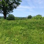
Since we started riding e-bikes about a year ago we have "discovered" numerous beautiful and charming roads and views all within a 30 mile radius of where we have lived most of our lives. We pick routes on the smallest hilliest roads we can find using USGS topographical maps. The roads I avoided for years on my road bike. This photo was taken in an area of farmland and broad vistas in a corner of the state we had rarely visited previously. It is different from the forested area we live in only 20 miles away.

IMG_1430.jpeg
 
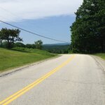
Ride of 29 miles today beautiful day here in NH

Woodhill Rd photos are looking North towards Concord and MT Washington
 

Attachments

  • Quimby Mt Rd .JPG
    Quimby Mt Rd .JPG
    214.4 KB · Views: 413
  • Quimby MT RD Hookset NH.JPG
    Quimby MT RD Hookset NH.JPG
    213.8 KB · Views: 397
  • Quimby Mt RD.JPG
    Quimby Mt RD.JPG
    229.9 KB · Views: 406
  • S Bow rd Bow NH.JPG
    S Bow rd Bow NH.JPG
    223.5 KB · Views: 385
  • S Bow RD NH.JPG
    S Bow RD NH.JPG
    215.6 KB · Views: 383
  • Woodhill rd Bow NH1.JPG
    Woodhill rd Bow NH1.JPG
    197 KB · Views: 386
  • Woodhill rd BowNH.JPG
    Woodhill rd BowNH.JPG
    182.7 KB · Views: 385
another 90 km today.Perfect weather , thank you Ebike gods!
1561506311070.png
 

Attachments

  • 20190625_124610[1].jpg
    20190625_124610[1].jpg
    230.3 KB · Views: 373
  • 20190625_130500[1].jpg
    20190625_130500[1].jpg
    87.7 KB · Views: 369
  • 20190625_133259[1].jpg
    20190625_133259[1].jpg
    134.2 KB · Views: 376
  • 20190625_134607[1].jpg
    20190625_134607[1].jpg
    156.5 KB · Views: 369
  • 20190625_111509[1].jpg
    20190625_111509[1].jpg
    82.4 KB · Views: 370
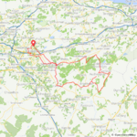
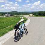
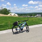
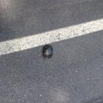
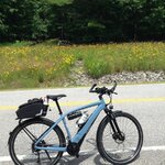
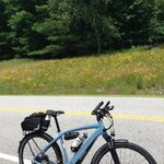
Beautiful day here in NH 40 mile ride today had 39% battery left. Elevation gain of 3,215 very happy with battery usage.
Yes I did pick up the turtle and moved him off the road hope I put him on the right side of the road.
 

Attachments

  • Farrington Corner Rd Hopkinton NH.JPG
    Farrington Corner Rd Hopkinton NH.JPG
    198.3 KB · Views: 374
  • Sterlin Pt8.JPG
    Sterlin Pt8.JPG
    163 KB · Views: 367
  • Sterling Pt Bow NH.JPG
    Sterling Pt Bow NH.JPG
    231.3 KB · Views: 382
  • Sterling pt Bow.JPG
    Sterling pt Bow.JPG
    176.4 KB · Views: 378
  • Sterling PT Rd Bow NH.JPG
    Sterling PT Rd Bow NH.JPG
    238.4 KB · Views: 363
  • Sterling PT RD Bow.JPG
    Sterling PT RD Bow.JPG
    212.8 KB · Views: 371
  • Sterling Pt1 Bow.JPG
    Sterling Pt1 Bow.JPG
    211 KB · Views: 377
  • Sterling Pt2 Bow.JPG
    Sterling Pt2 Bow.JPG
    173 KB · Views: 373
  • Sterling Pt3.JPG
    Sterling Pt3.JPG
    206.8 KB · Views: 387
  • Sterling Pt4.JPG
    Sterling Pt4.JPG
    143 KB · Views: 377
  • Sterling Pt5.JPG
    Sterling Pt5.JPG
    131.4 KB · Views: 371
  • Sterling Pt6.JPG
    Sterling Pt6.JPG
    169.4 KB · Views: 383
  • Sterling Pt7.JPG
    Sterling Pt7.JPG
    178.2 KB · Views: 385
  • Turtle Dunbarton Center Rd Bow NH2.JPG
    Turtle Dunbarton Center Rd Bow NH2.JPG
    333 KB · Views: 374
  • Turtle Dunbarton Center Rd Bow1.JPG
    Turtle Dunbarton Center Rd Bow1.JPG
    267.8 KB · Views: 369
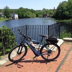
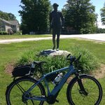
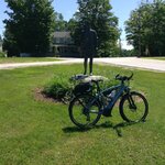
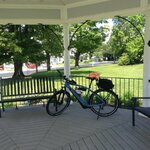
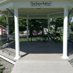
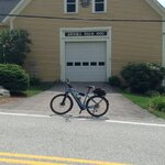
Beautiful day in NH 32 mile ride elevation gain of 2,513 feet 44 percent battery left. You know what I like about my E Bike ? I like the kickstand so convenient instead of leaning the bike up against something.
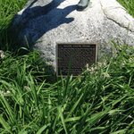
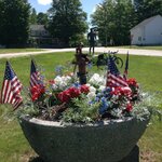
Statue is of Caleb Stark the road is named Robert Rodgers lots of history in this sleepy NH town.
 

Attachments

  • DunbartonNH center1.JPG
    DunbartonNH center1.JPG
    232.3 KB · Views: 369
  • DunbartonNH center2.JPG
    DunbartonNH center2.JPG
    283.5 KB · Views: 355
  • DunbartonNH center3.JPG
    DunbartonNH center3.JPG
    235.7 KB · Views: 354
  • DunbartonNH center4.JPG
    DunbartonNH center4.JPG
    235.9 KB · Views: 349
  • DunbartonNH center5.JPG
    DunbartonNH center5.JPG
    201.3 KB · Views: 347
  • DunbartonNH center6.JPG
    DunbartonNH center6.JPG
    150.5 KB · Views: 360
  • GoffstownHookset Rd 3.JPG
    GoffstownHookset Rd 3.JPG
    172.5 KB · Views: 368
  • GoffstownHookset Rd HooksetNH1.JPG
    GoffstownHookset Rd HooksetNH1.JPG
    247.8 KB · Views: 374
  • GoffstownHookset Rd2.JPG
    GoffstownHookset Rd2.JPG
    230.9 KB · Views: 373
  • GofftownHooksetRd4.JPG
    GofftownHooksetRd4.JPG
    172.8 KB · Views: 359
  • HackettHill Rd HooksetNH mini golf2.JPG
    HackettHill Rd HooksetNH mini golf2.JPG
    182.3 KB · Views: 355
  • HackettHillRd Hooksetminigolf1.JPG
    HackettHillRd Hooksetminigolf1.JPG
    195 KB · Views: 362
Back