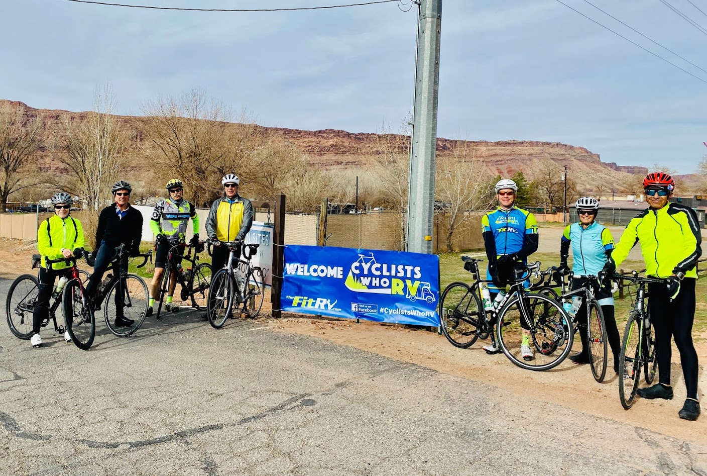
Watched that a couple weeks ago and recognized my old stomping grounds--up Douglas Creek. Boy, has that road deteriorated! I think they must've rode up the Rock Island Grade or maybe the Blue Grade to get up from Wenatchee to the top of Douglas Cr. Then down it, up Moses Coulee and on south to hit the railroad trail.This video and this link might force a rethink on how to ride across Washington...
I like the idea of cutting north from Ellensburg and over the Coluckum Divide and crossing the Columbia River in Wenatchee...
Wish someone could post a map of that route. I´m familiar with some of it, but missing a few stretches. I´mWatched that a couple weeks ago and recognized my old stomping grounds--up Douglas Creek. Boy, has that road deteriorated! I think they must've rode up the Rock Island Grade or maybe the Blue Grade to get up from Wenatchee to the top of Douglas Cr. Then down it, up Moses Coulee and on south to hit the railroad trail.
There are no plug ins handy for much of their route.
It's a very good video though.
Here ya go:Wish someone could post a map of that route. I´m familiar with some of it, but missing a few stretches. I´m
a busted up old rounder, but I´d like to try a supported electric version. I´m looking at the Mount Hood loop
as well. Whose for taking a ride?
What a nasty and rude comment.Either your relatives don't want to see you or they hate e bikes or believe anything. There are no confiscation laws in Ohio. I poke my nose in a lot of places and my bike stands out like a sore thumb. They are selling tons of e bikes in this area. I biked 42 miles today between Akron and Massillon.
I never throttle, I always pedal. My throttle is programed for 400 watts max and 16 mph max.
Those guys in the video, took a very round about way to avoid highways, I think. For example, they added quite a climb in the Wenatchee to Moses Lake bit, by going up onto the Waterville Plateau and then back down Douglas Cr. into Moses Coulee, then climbing back up the Three Devils to get out of the Coulee. It's worth it though, to stay off the highways. Makes me wonder if the Palisades Store is open again. That would be a few miles out of the way, but a potential charging up spot. The school, which is next to it, might have an outside outlet.Wish someone could post a map of that route. I´m familiar with some of it, but missing a few stretches. I´m
a busted up old rounder, but I´d like to try a supported electric version. I´m looking at the Mount Hood loop
as well. Whose for taking a ride?