Art Deco
Well-Known Member
- Region
- USA
- City
- Selinsgrove Pennsylvania
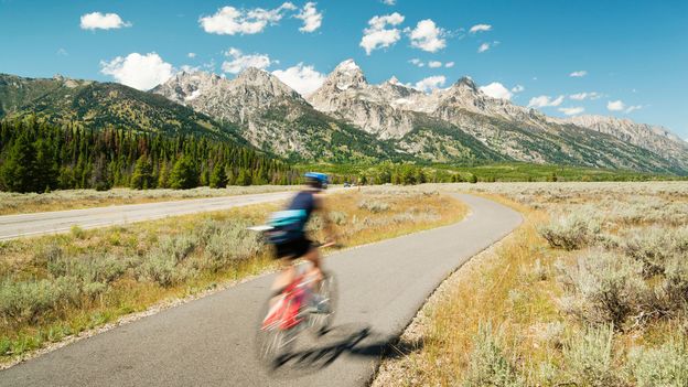
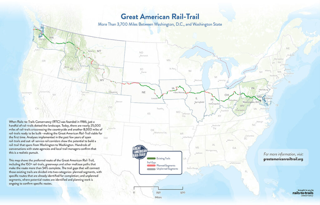
A new way to travel across the US
Stretching an extraordinary 3,700 miles from Washington DC to the Pacific Ocean, an ambitious new bike trail is aiming to be “America’s Main Street”.
 www.bbc.com

 Thanks. I'll remember that.