2026 - Our Rides in Words, Photos, Maps and Videos

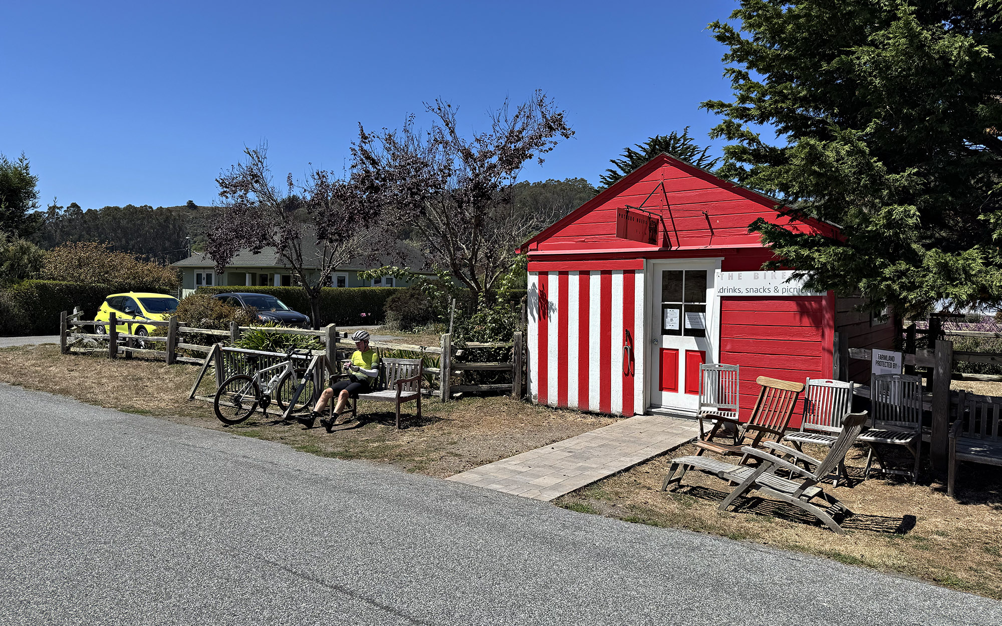
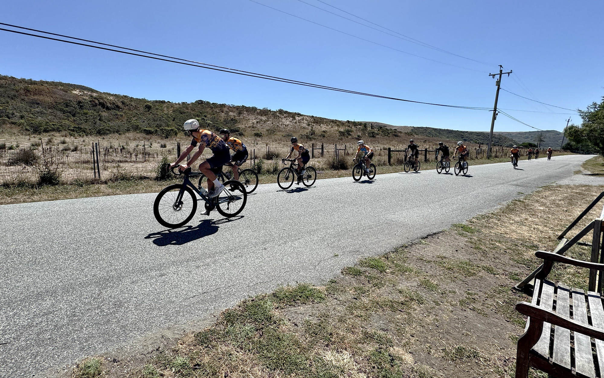
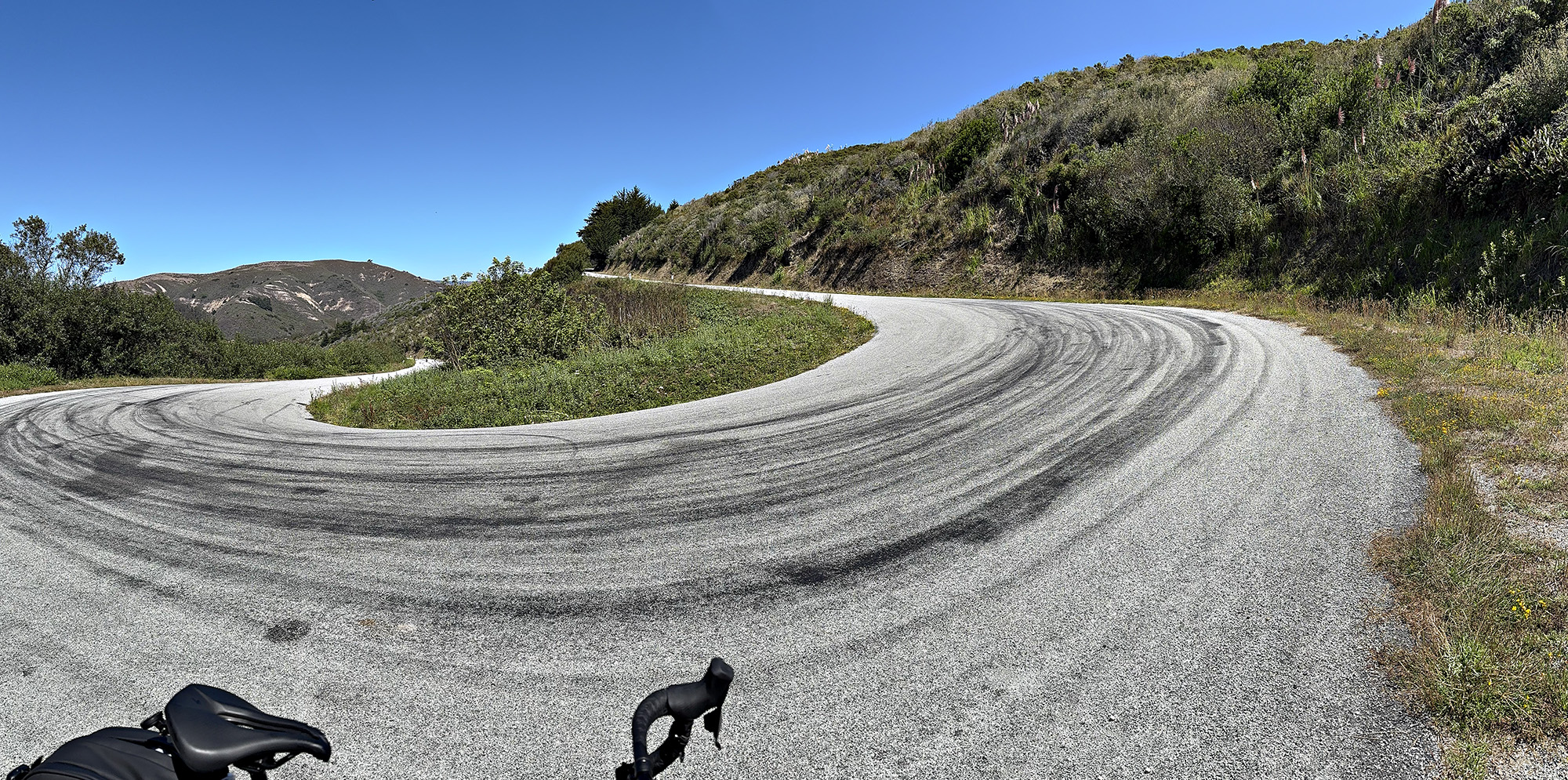
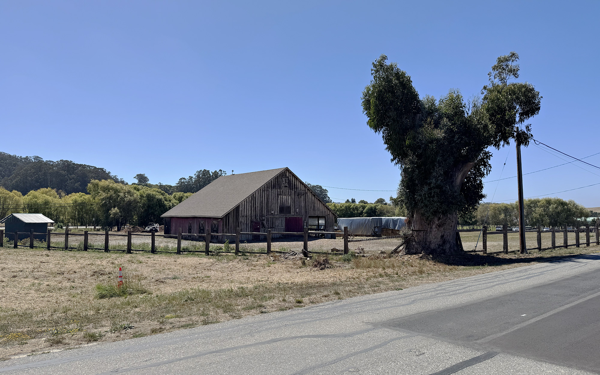
Yesterday, I headed to one my favorite local areas to road ride…Coastal San Mateo County, near Pescadero. I love the rolling farm roads in this area. I wanted a mellow ride. But there is a bit of elevation, so I used the Creo. I have ridden these same roads on my manual bikes many times.

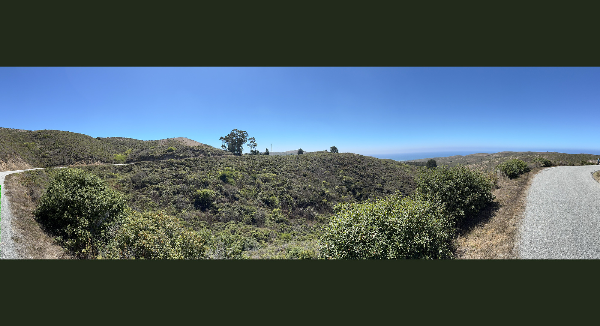
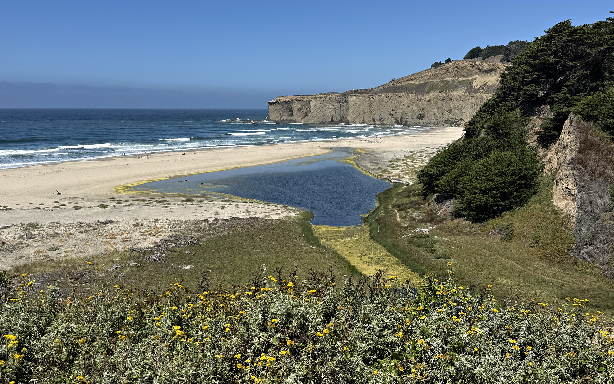
I started at the new County park above Tunitas Creek Beach…Don Horsley Park. It is well done. Amazing views of course! So this is my second new local park in SMC – this week! I rode my MTB (non-ebike) at Skyline Ridge Watershed trail midweek which just opened this past Monday. Also amazing views that were not easily available previously.

Tunitas Creek Beach to Bike Hut to Stage Road to Goats to Arcangeli.
I was going for 25 and 2500ft today.

I always forget how windy it is in the hills between San Gregorio and Pescadero.

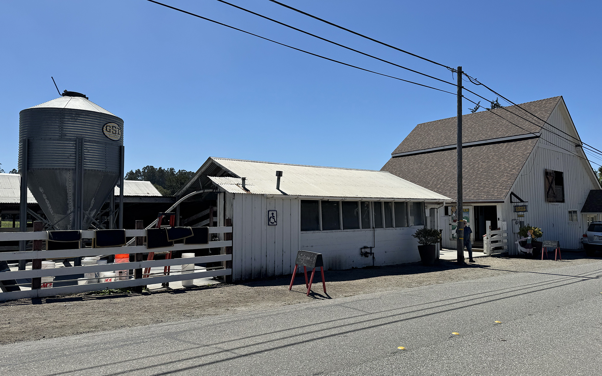
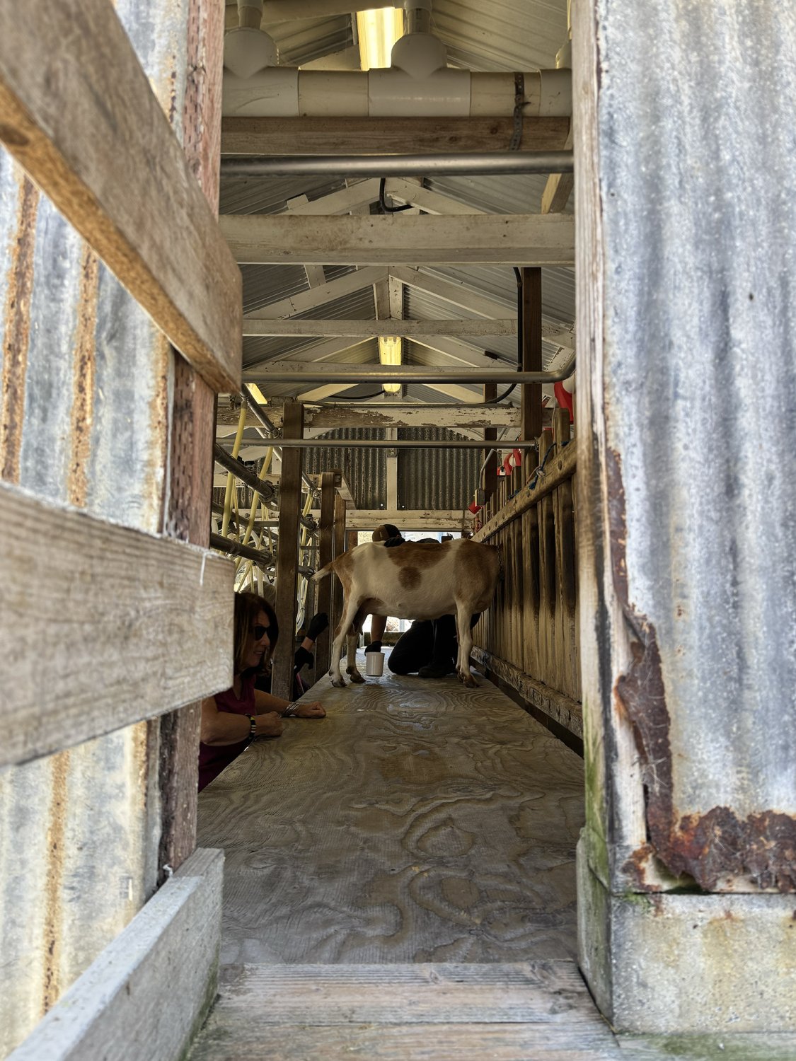
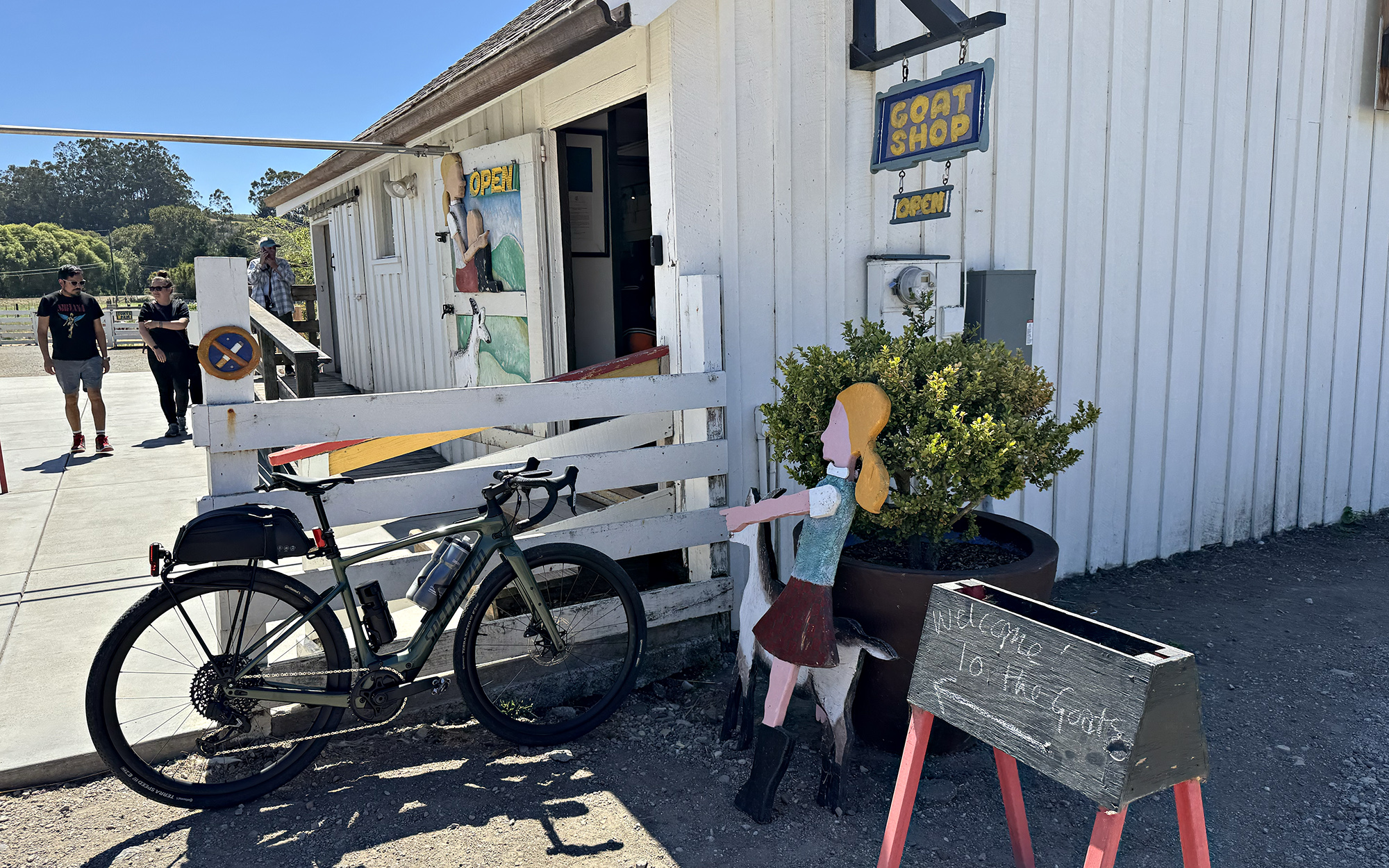
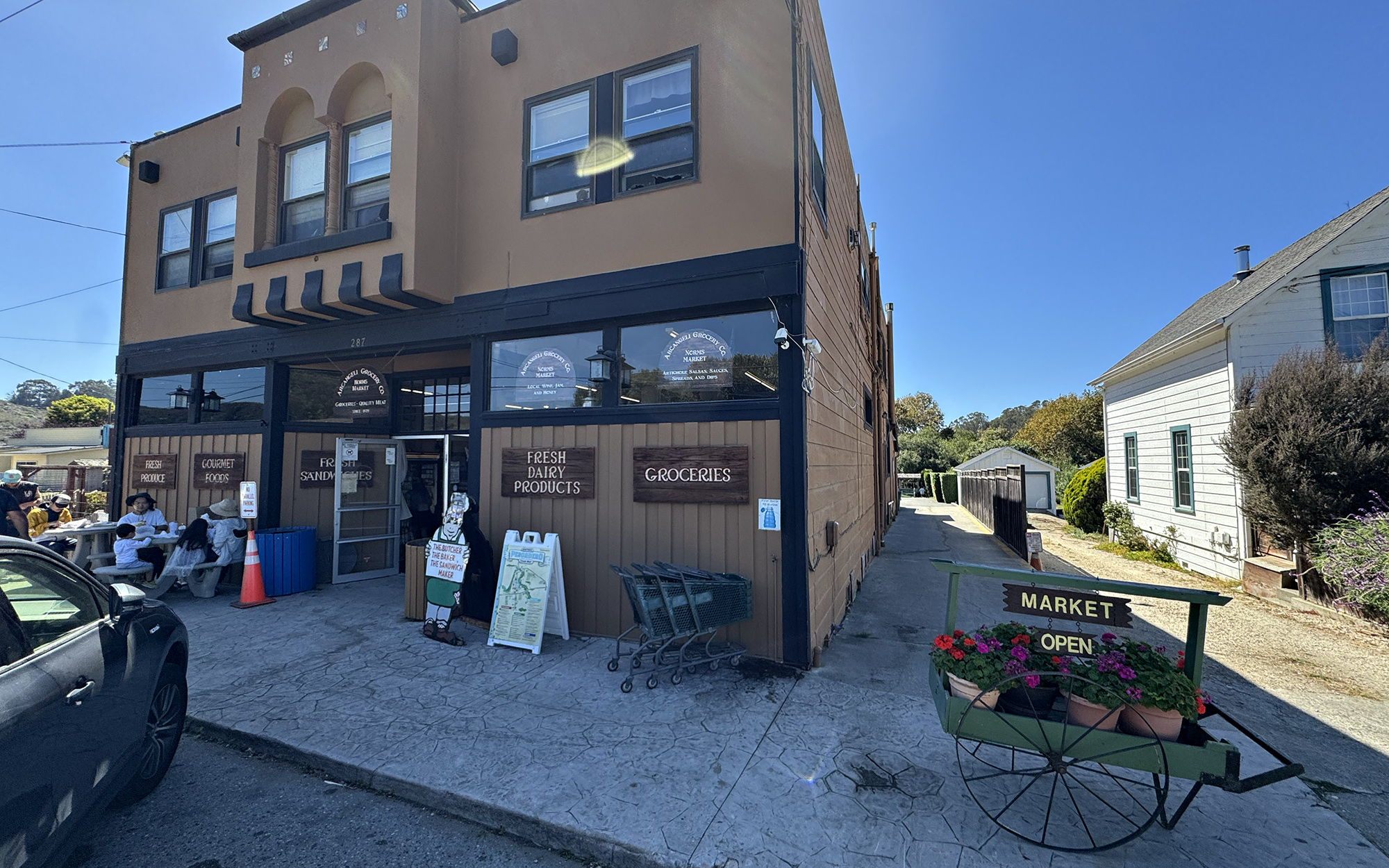
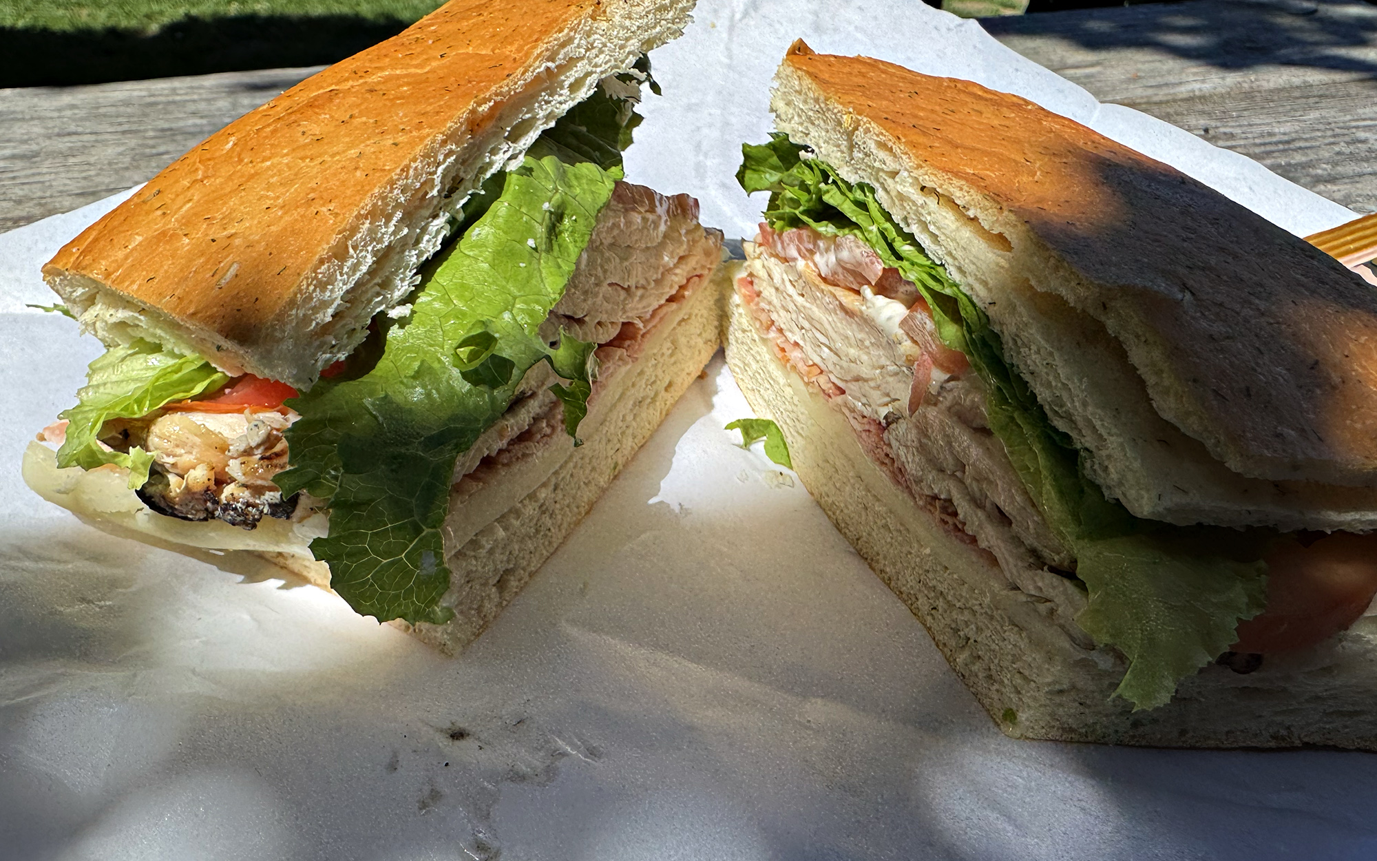
I rode down North Street, in Pescadero, for the first time and stopped at the Harley Farms Goat Dairy. Then, I had to get a classic sandwich at Arcangeli Grocery.

I also came across a local rider Mike who rides a million miles all around Northern California. Local legend.
It was a perfect afternoon!
IMG_1344 copy 2.jpg


IMG_1351 copy 2.jpg


IMG_1358 copy.jpg
IMG_1372 copy.jpg
IMG_1399 copy.jpg
IMG_1419 copy.jpg
IMG_1426 copy.jpg
IMG_1431 copy.jpg
IMG_1438 copy.jpg

IMG_1446 copy.jpg

IMG_1450 copy.jpg
IMG_1454 copy.jpg
 
Last edited:
Too Many Adventures During The Inowłódz Ride!

Tommy is hungry of long rides! I explained to him he needed a riding mate but my medical condition as well as the batteries' charge prevented me from riding too far. He agreed to a supposedly 132 km Sunday ride.

1788164883759.png

Despite the headwind and constant climbing, we covered the first 30 km to Głuchów (in the Land of Łódź) in a very good time. We were strong, and it was not too hot yet. Głuchów is a very pro-EU village; we stopped at Żabka to replenish our water and snacks. Seen in the picture is one of the Avenues of Old Trees. Such avenues are protected by law and maintained.

1788165164723.png

The former railway station building in Głuchów. The building is now just a regular home, beautifully painted in a folk motif. However, the narrow-gauge railroad is fully operable! There is a touring narrow-gauge railway organising regular trips in the summertime.

1788165328747.png

Ah, that was good! You can see a pretty new Folk House in Bukowiec (EU financing). The two straw figures and the banner: "As you have just harvested your field, it's time for some vacation for you, boor!" :) Here, an alternate word for a "farmer" (more like Bauer or Boer) was used to give the local people (and us) more laugh!


1788165630614.png

Indeed, the fields have been harvested! The tape at the left is for a temporary public car park. These days, farming areas across Poland get their Harvest Holiday, which are local festivals with live music and a lot of beer and food. I presume it was a big feast on Saturday in the village!

1788168848868.png

Now, we entered Spała Forests. See the raw cobblestone :) (I prefer cobblestone to the sand!)


Lost Off Course!
Whenever the Wahoo ACE "Helga" barks "ROUTE!" at you then you better stop and think! My mistake was an attempt to find a detour. A big, big mistake! While the maps claimed all fireroads were passable, none of them were! I lost the situational awareness totally. I simply didn't connect the dots: If we passed a little bridge then there would be a little river. If there is a river, there is no passage but a lot of scrub instead...

1788169226592.png

As we stopped at the end of the next unpassable road, and Tommy was ready to explode, I looked around and found a freshly grown boletus! Yes, it rained the day before, and fungi can only grow in the wet (but grow very fast). Turned out we were surrounded by boleti, no worm inside them, just waiting to be picked up! Forest fungi picking is very well known in many European countries; we know our wild mushroom! The boletus is the most noble and expensive of the fungi found in Poland. Well... we had no appropriate storage. I picked three beautiful boleti into my pannier: I pan-fried them this morning and used with scrambled eggs; a delicacy!

Tommy forced me to retrace our steps and we could find a beautiful gravel road, so we could continue the trip. We lost an hour in the forest!

The Sheriff Point :)
As I was exploring the area on my Vado several years ago, I stopped for a cigarette at a service road by the S8. I was approached by a Police Sergeant, acting similarly to U.S. State Troopers. He gave me a little interrogation: my whereabouts, the route plan, etc. He was a very nice but professional acting person; he even gave me the directions towards Spała! The American readers might shrug at this point: "Why was that so special?" You see, the Police in Poland never interact with the citizen unless they need to intervene. That guy was very different: he wanted to know everything to happen in his jurisdiction! I was impressed with his policing! He was alert well before the "interesting times" of today!

1788170610227.png

Later, a Rest Area for people enjoying the Nature was built. I named that place the Sheriff Point in the honour of that good police person!

The Spała Disaster
Spała is a spa on the Pilica. As we rode through the town in the hope of a good meal and ice-cream, the disaster struck: my rear tyre got punctured by a thorn. Tommy helped a lot; he could replace the inner tube and the tyre in minutes (my electronic mini pump helped, too). However... I managed blocking my rear brake without noticing! It took next long minutes to realise what was wrong and fixing the thing. I was frustrated; it became very warm, too. No chance for the lunch: Spała was crowded! We had ice-cream and headed to Inowłódz, also on the Pilica, 6.5 km away.

The Duchy of Mazovia and the Crown of the Kingdom of Poland
The old Duchy of Mazovia (populated by Poles) was a separate entity, and it used to be huge, a way bigger than it is now. The Crown bordered its northern ally Mazovia from the south, generally on the line of River Pilica. Only in 1525, Mazovia was incorporated in the Crown of Poland.

1788171639309.png

King Casimir III The Great was indeed one of the greatest rulers of our country. As a proverb says "Casimir found Poland wooden and left it in brick". He was known for building a big number of fortified castles along the border of the Crown. Inowłódz was a border town of the Crown in 1356–1366 when that castle was built.

1788171892037.png

I had enough on the 80th kilometre!

1788171946619.png

Cafe Bona was a disappointment. A Polish restaurant unable to make good "pierogi ruskie" cannot be recommended! (Tommy said his Meat Pierogi were good).


Hitting the wall in Rawa
The hours had passed. Tommy needed to get home possibly early but it was still 60 km to go. Assisted by the tailwind and gradually lowering elevation, we rode very fast to Rawa (an ancient Mazovian ducal city), where I crashed. I told Tommy to chase the opportunity to catch an earlier train while I gave myself a half an hour rest. Then I increased my Vado assistance and rode as strong as I could northwards.

Hel(l)enków :D
I had told Tommy: "Avoid Helenków at any cost!" and he made it. While I...

1788172556123.png

Saw a tempting asphalt road and then...

1788172609562.png

...found myself right in the middle of Hellenków sands!


I was late for that return train just FOUR MINUTES! The next one would be there in an hour...

1788172749285.png

I rode up the Ice Land in Rawka seven minutes before closing, got me some ice-cream and coffee (it was still 19 C) and finished in the outside garden :)

1788173067847.png

149 km (92.6 mi) for the day. Two Vado batteries were more than adequate!
 
Last edited:
A pic from this morning's 24km ride:

View attachment 214849

Lovely shot! The dappled shade gives it such an inviting look.

But when the contrast gets extreme, riding through that stuff for more than a few seconds gives me vertigo. Also happens in cars, but that kind of swirling dizziness is obviously a lot scarier on 2 wheels. Oddly, not prone to vertigo otherwise.
 
Last edited:
Lovely shot! The dappled shade gives it such an inviting look.

But when the contrast gets extreme, riding through that stuff for more than a few seconds gives me vertigo. Also happens in cars, but that kind of swirling dizziness is obviously a lot scarier on 2 wheels. Oddly, not prone to vertigo otherwise.
I find it a little disorienting myself, but not to the point of vertigo.
 
1788201553703.png


Being the last day of the month I was eager to get out but the forecast was very dodgy indeed, with a blustery westerly wind around 25-30mph and squally showers around! I decided to just go for it and take my chances, I made my mind up early on not to take any photos and just concentrate on not getting soaked! I headed SE to Allanton and over the back road to Carluke where I made my way east to Yieldshields, looking to the south all I could see was rain clouds so I decided to make my way north to Auchengray! The far north wasn't looking too clever either and back west was looking the worst, at some point I would need to head that way...

So far I had avoided the rain but I could feel it in the air at times! From Auchengray I continued north to Woolfords where I finally caught the edge of one of the squalls as I headed up the climb, it was enough to wet the roads but nothing terrible! I then headed NE to West Calder, for the most part I had a strong tailwind so I was flying along! From West Calder I turned west towards Addiewell and the sky to the west was still looking very threatening indeed, so I made my way north to Blackburn and Bathgate and took the awesome road to Torphicen! Then I made my way NW to the Avon Gorge and turned west towards Standburn where I took the back road south to Avonbridge! Looking west it was still a no go and things were looking brighter to the north so I headed up the big climb to Shieldhill where the Ochil Hills were looking amazing...why not take a photo or 2 then as I was in no rush to head for home yet...

1788203005064.jpeg

1788203055016.jpeg

I sneaked into the grounds of the Three Kings Hotel (its a very popular wedding venue) for some photos also!

1788203115660.jpeg

1788203129749.jpeg

1788203140901.jpeg

1788203152255.jpeg

Then I shot down the cracking descent into Glen Village, stopping on the way down for more photos...I couldn't help myself! 😂

1788203265888.jpeg

I had to go slow down the steep part due to a very swirly wind...

1788203306517.jpeg

I was now in the position where I would have to turn SW and head for home, thankfully the strong winds had pushed the rain clouds away and things were looking much more promising for a dry run home! I turned west into Lionthorn where I stopped for more photos!

1788204536575.jpeg

The big hill I had just descended!

1788204565997.jpeg

The road through Lionthorn was pretty quiet at this time, the schoolkids were home by now! ;)

1788204606555.jpeg

Now it was time for the big climb up to Slamannan, I stopped part way up for this photo!

1788204661989.jpeg

Another couple of photos at the top of the climb!

1788204723224.jpeg

1788204739263.jpeg

I just love this road to Slamannan!

1788204776503.jpeg

I then took the back road to Longriggend, another fun road which is very quiet!

1788204827504.jpeg

I had some stunning views of the Campsie Hills and the mountains to the north!

1788204858233.jpeg

1788204909635.jpeg

1788204922685.jpeg

The Ochils also!

1788204948812.jpeg

1788204962119.jpeg

1788204984397.jpeg

1788204996356.jpeg

1788205009666.jpeg

Somebody was getting the rain to the NW!

1788205050361.jpeg

This descent is amazing!

1788205123778.jpeg

From Longriggend I headed south for Caldercruix on the awesome Telegraph Road, I had a very strong crosswind here!

1788205199167.jpeg

I made it home dry and had such a fantastic day, I was sure I was going to get drenched at some point but my weather avoidance was on point...:D Only 8 rides this month, the same as last month but 40 miles less, a healthy average of 88.5 miles though!

elevation_profile526.jpg

trip-409494758-map-full526.png
 
I rank mushroom foraging for consumption alongside 'I can swim to that Island no problem'

The advice given is basically on the level of russian roullette, or lets mix up grandmas medication and consume it by guess.


I rank mushroom foraging for consumption alongside 'I can swim to that Island no problem'

The advice given is basically on the level of russian roullette, or lets mix up grandmas medication and consume it by guess.


Your comment is from someone raised in a country with no fungi picking tradition :) When I was a young boy (but could already read), my Mum gave me a small but thick book named "Forest Mushroom Atlas". The book was split into three parts: Edible, Non-edible, and Poisonous. Each page had a comprehensive description of a given fungus and the opposite page had a colourful drawing of that fungus in different stages of growth. Trust me: it was my favourite reading! It was easy to memorise which features classified a given fungus as an edible or a poisonous one. For instance, it is very easy to tell the boletus edulis from boletus satanas (a deadly poison). Cases of fungi poisoning do happen but are very rare in Poland.

Each Summer, and especially during wet Autumn, thousands of fungi pickers frequent our woods or forests. They pick as much as their crop lasts for months, mostly as pickles or dried stuff. They often share the surplus with the family and friends. (Many pickers make stands by highways to sell their crop on the spot).

1788255904272.png
1788255977696.png

Today's crop of a friend of mine. First photo: parasol mushroom, boletus, assorted leccinuses. Second photo: Boletes.

Then take the restaurant business. You get delicious fungi soups or main courses including fungi in the warm season, and no case of poisoning has been reported as far as I can remember.

1788256380232.png

Fungi soup in a restaurant (own photo).

1788256462526.png

Millet groats with Chanterelle cooked by my late wife (own photo)


Then, the shops. The shelves are crammed with pickle jars containing only known species of fungi, and organised from the least to the most expensive. When you are invited to a Polish family, you'll find a saucer or three with pickled fungi (own or bought) to be eaten with cold meats.

Finally, Christmas. That's when the dried boletus finds it use: "little ear" dumplings stuffed with the fungus paste and immersed in borscht, pierogi with cabbage and fungi, etc.

1788257074012.png

Borscht with fungi Little Ears (own photo).

I know it is difficult to comprehend by a person from a different culture!
 
Last edited:
Some UK mushrooms are easy to identify so quite safe to eat, the Giant Puffball, Beefsteak Fungus, Porcelain Fungus, Cauliflower Fungus, Dryads Saddle, the Hedgehog Fungus, Wood Ears, (as long as they are growing on elder), if you are very lucky the Truffle, or Chicken of the Woods (as long as it is not growing on a Yew tree).

How to identify a Yew tree....
Needles on either side of new green shoot, red berry-like cones known as arils, purple bark. Although the tree is a conifer, it has a cone that looks like a berry. The seed in the cone is poisonous but the bright red ‘aril’ that surrounds it is not. Yews have male flowers on one tree and female flowers on another tree.

images (13).jpeg
 
Well, Charge, I would say the most of fungi you mentioned are not what we pick or eat in Poland :) Very young Puffball is edible but...

For your education, here are the guaranteed safe and tasty fungi collected in our woods, from the most expensive down to the cheapest:
  • Boletus edulis (porcino) or borowik - the king (pickle, dried, fried, cooked)
  • Suede bolete or podgrzybek - almost as good as the above
  • Golden chanterelle or kurka - pickle or a flavour enhancer in main courses
  • Larch bolete or maślak - pickle
  • Leccinum or koźlarz - a general fungus
  • Parasol mushroom or kania - a very tasty fungus (only for frying).
How to identify a Yew tree....
Needles on either side of new green shoot, red berry-like cones known as arils, purple bark. Although the tree is a conifer, it has a cone that looks like a berry. The seed in the cone is poisonous but the bright red ‘aril’ that surrounds it is not. Yews have male flowers on one tree and female flowers on another tree.
1788271745722.png

Red Squirrels know how to eat the fruit of yew tree safely :)

1788271782155.png

I had a huge yew tree on my Old Property. (My own photos)
 
Last edited:
Last Saturday, I did a modified version of the ride I've been waiting to do for a while, mid-Cape to Provincetown. I took out about 4 miles of off-road and stayed on US Route 6 a bit longer, which has a wide unprotected bike lane in the shoulder. Other than the modification, this is the ride that I used the TQ range estimator program with, which told me I could do it all in Eco (+80W) with the range extender on board. The weather was sunny and warm, but as the day went on, a 10-20mph wind from the W-NW would be building that would be in my face for the return trip. I felt good, relaxed, and somewhat rested.

89 miles, 2500 feet of elevation, 5:20 ride time. I ended up with the range extender depleted, and the main battery with 35% left. I rode mostly analog on the way out with some Eco. On the way back, into the wind, I rode partly in analog, mostly in Eco, and a bit of Mid (+170W) to give myself some short breaks into the wind gusts. For the first time in a while, I felt like I had a bit of form. I still felt strong at the 70 mile point.

I did not take a lot of pictures. I exited Rt. 6 onto Route 6A in Truro, which is a fairly narrow road with no shoulders. However, it is a marked Bike Route with a 30mph speed limit due to the high concentration of summer cottages. Drivers know about this, and were generally compliant. There were also quite a few cops out and about.

Across the road from Route 6 is Pilgrim Lake, a salt water estuary that is maintained by the Army Corps of Engineers via a set of culverts to and from the bay. It used to be called East Harbor, but some politician changed the name. It is home to lots of fish and waterfowl, You can see the dunes to the open ocean in the distance.

20260830_114844_resized.jpg


These are some of the summer rental cottages that line Route 6A. They all face Cape Cod Bay with nothing but beach in between. Many are short term rentals. In the shoulder season, these 1BR, 1BA 2 person cottages rent for $500-$600/night. In the high season, double that. They are seasonal, so they open around April 1st and close around November 1st. This shot is looking backwards from where I came.

20260830_114525_resized.jpg


Close to the Provincetown line, you get a peekaboo view of the town and the tip of Cape Cod.

20260830_114220_resized.jpg


Not wanting to leave my bike unattended. I decided to eat at a take-out seafood shack. The Lobster Pot in Provincetown is a seafood institution that has been there forever. It is a 3 story full service restaurant on the marina. They have a sister shack called The Lobster Pot Express that is next to the ferry dock which is takeout only.

20260830_120721_resized.jpg


I am careful what kind of non-bike-specific food I eat on long rides, to avoid stomach upset. Tuna sashimi, even with wasabi, has always done me well. A nice deal at $15. I decided to eat on a park bench in view of my bike instead of their below grade patio.

20260830_121343_resized.jpg


I had a view of the beach during lunch.

20260830_122540_resized.jpg


The ride back was expectedly more difficult. Traffic had subsided a bit so the ride down Rt. 6 was a lot less hectic. The rail trail was busy, as it always is on summer weekends. No issues with other riders or pedestrians. I averaged 16.6mph. After I returned home, we went out for dinner at a local marina restaurant with friends. Great day. Work was a little tough the following day, if you know what I mean.
 
Great ride and photos @stompandgo. I would love to ride in New England, MA, VT and RI! I grew up in NYS Capital Region, but didn't not really ride much as a youth. I did minor rides on my 12 speed Nishiki. After college, I emigrated to California 30 yrs ago. But I really want to ride in NE.
 
Nice ride, Stomp! You gave me an opportunity to take a look at the area on Google Maps. Funny thing being, the East Harbor is where you'd expect it (with a little pin of Pilgrim Lake), while there was another Pilgrim Lake with Mecca Island in Orleans.

Is the 28 suitable for cycling?
 
Back