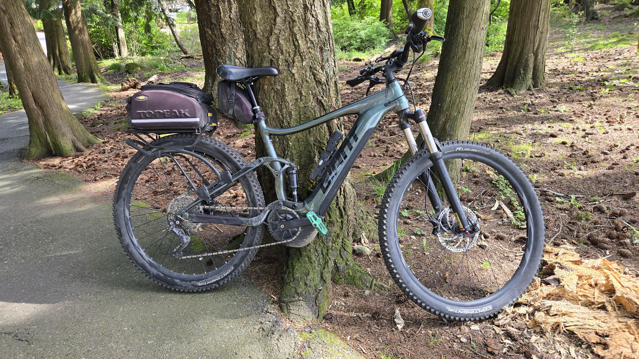
New brakes day!
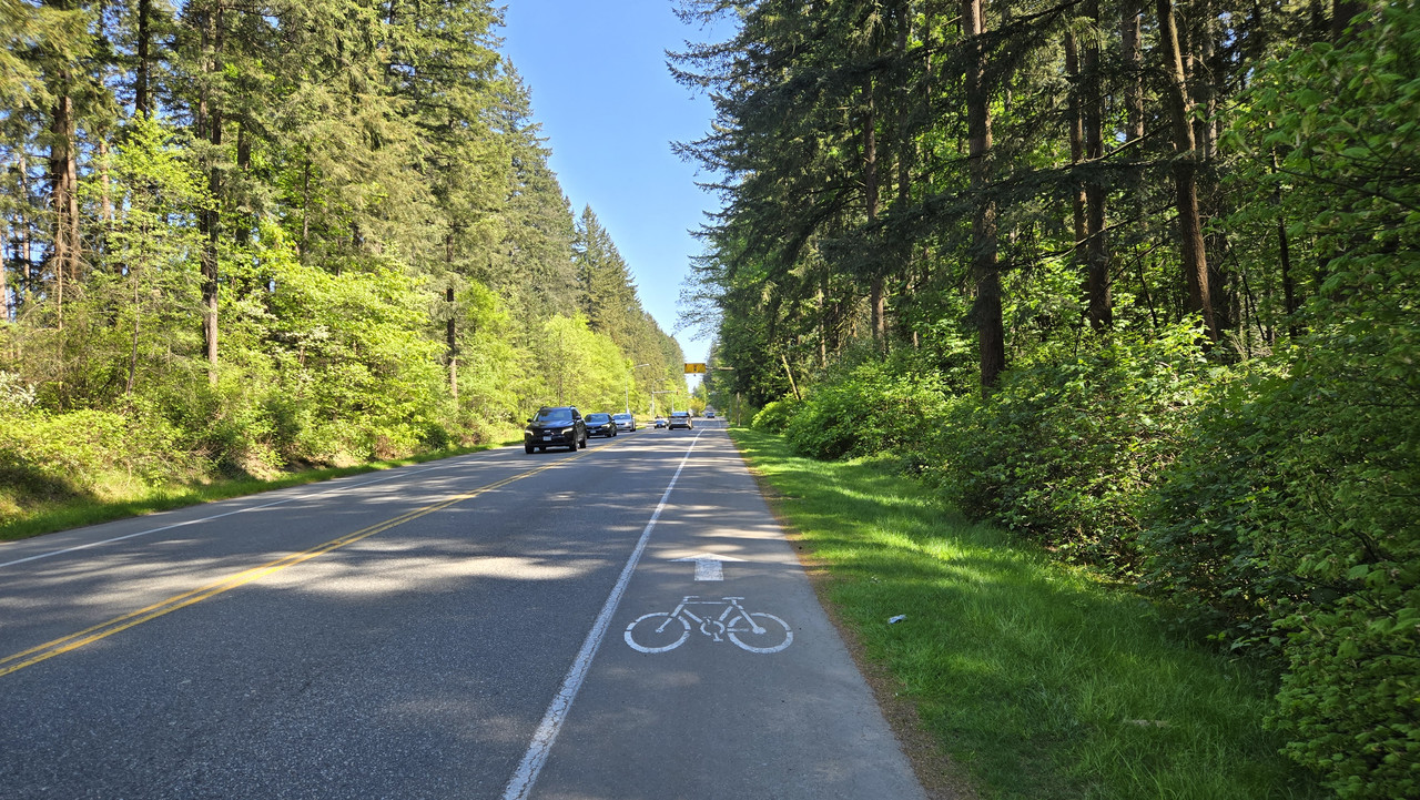
Some photos from a 12 mi test of my brand new brakes straight from the LBS in Encinitas. Normally avoid this area like the plague on Saturday mornings, but there are quite a few blocks with 12-16% grades within 3 mi of the shop.
So far, very pleased with this total all-Shimano upgrade. Details once the metallic pads are fully bedded.
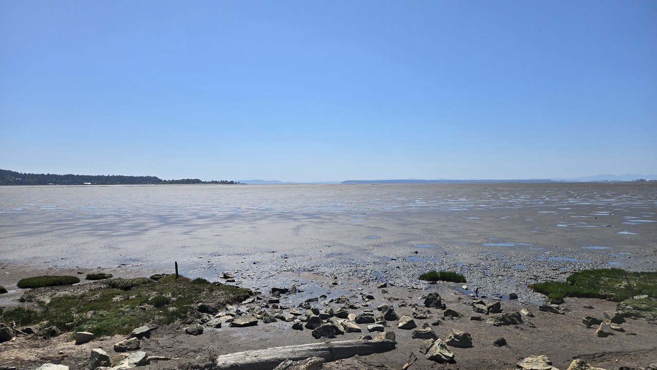
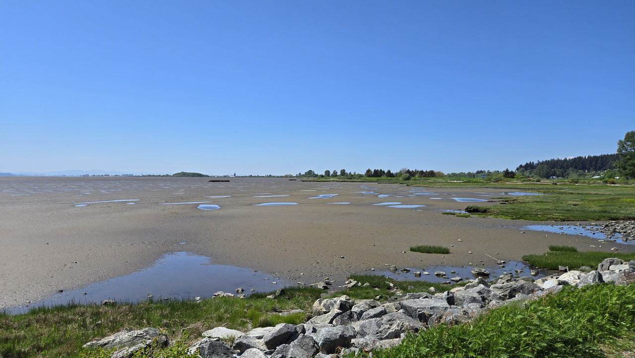
First stop at the overlook above north Swami's Beach. Lots of steep descents to try around here, all encouraging that I hadn't wasted my money.
Below, a father and young son riding sloppy wet sand. The one and only time I rode sand that wet, got a slurry of sand and sea water all over my other bike's brakes. New pads and rotors required front and rear.
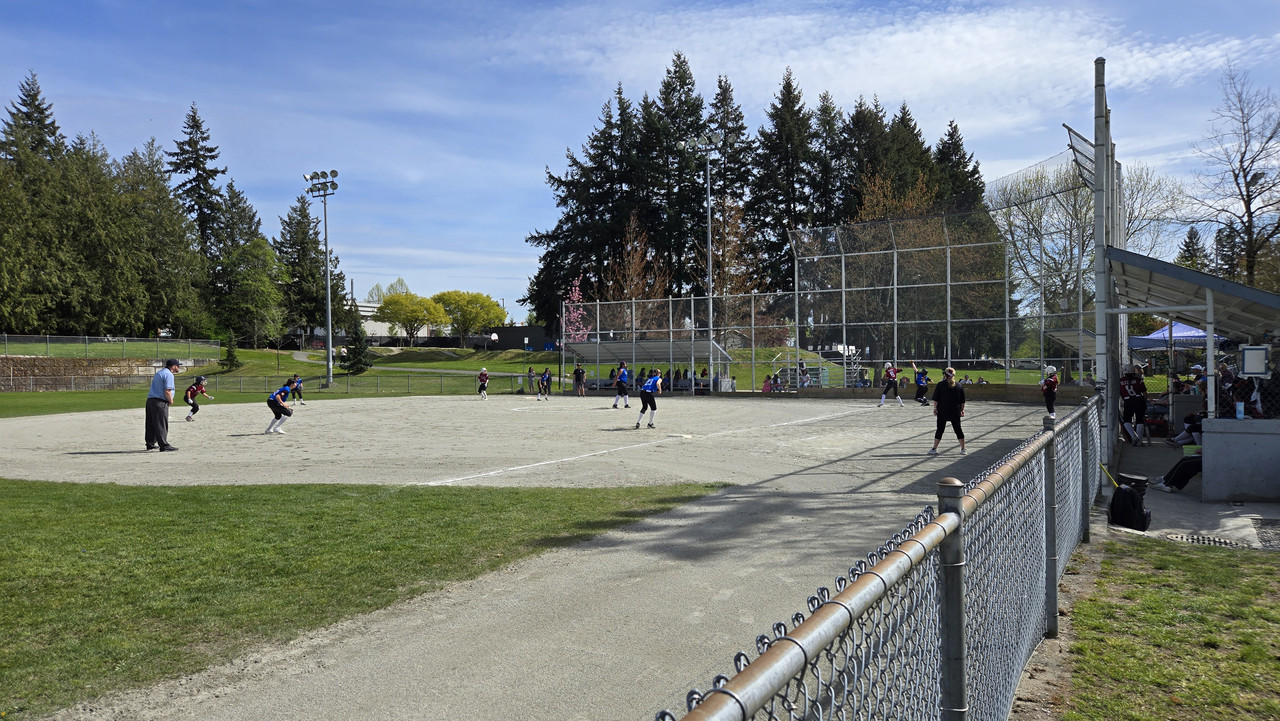
Next stop, Beacon's Beach, very popular with surfers young and old.
Now for some serious bike porn from the shop
Colnago C72.
Not sure what this extremely aero Van Rysel model is for, but it sure looks cutting-edge.
They still have one official replica of the yellow Colnago Tadej Pogacar used to win the 2024 TdF. Drool over this bike uncontrollably every time I go in.
Love the way those Enve deep-section wheels with white or yellow stickers look on TV at speed. My dream wheels! But I'll pass on these silver stickers. Note the divorce-level price.
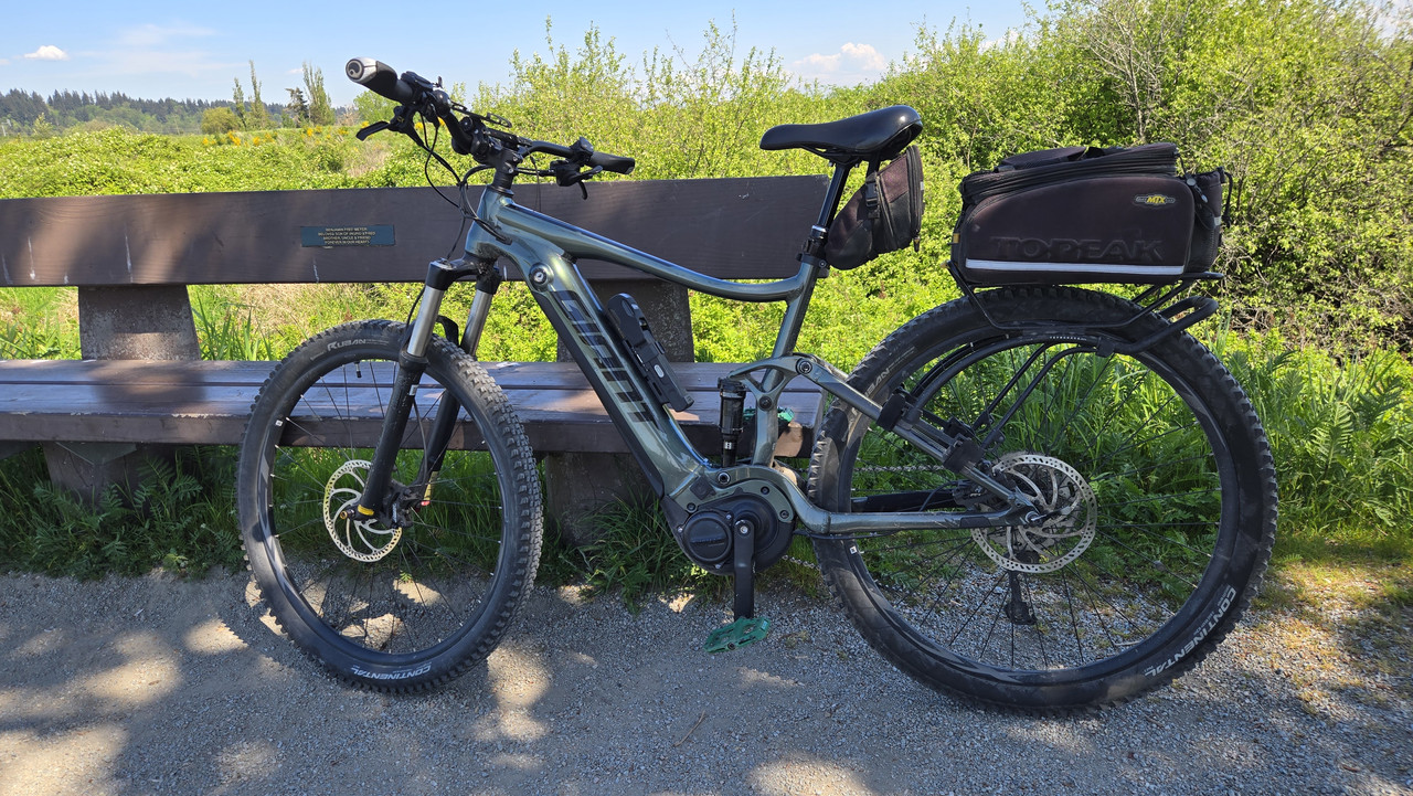
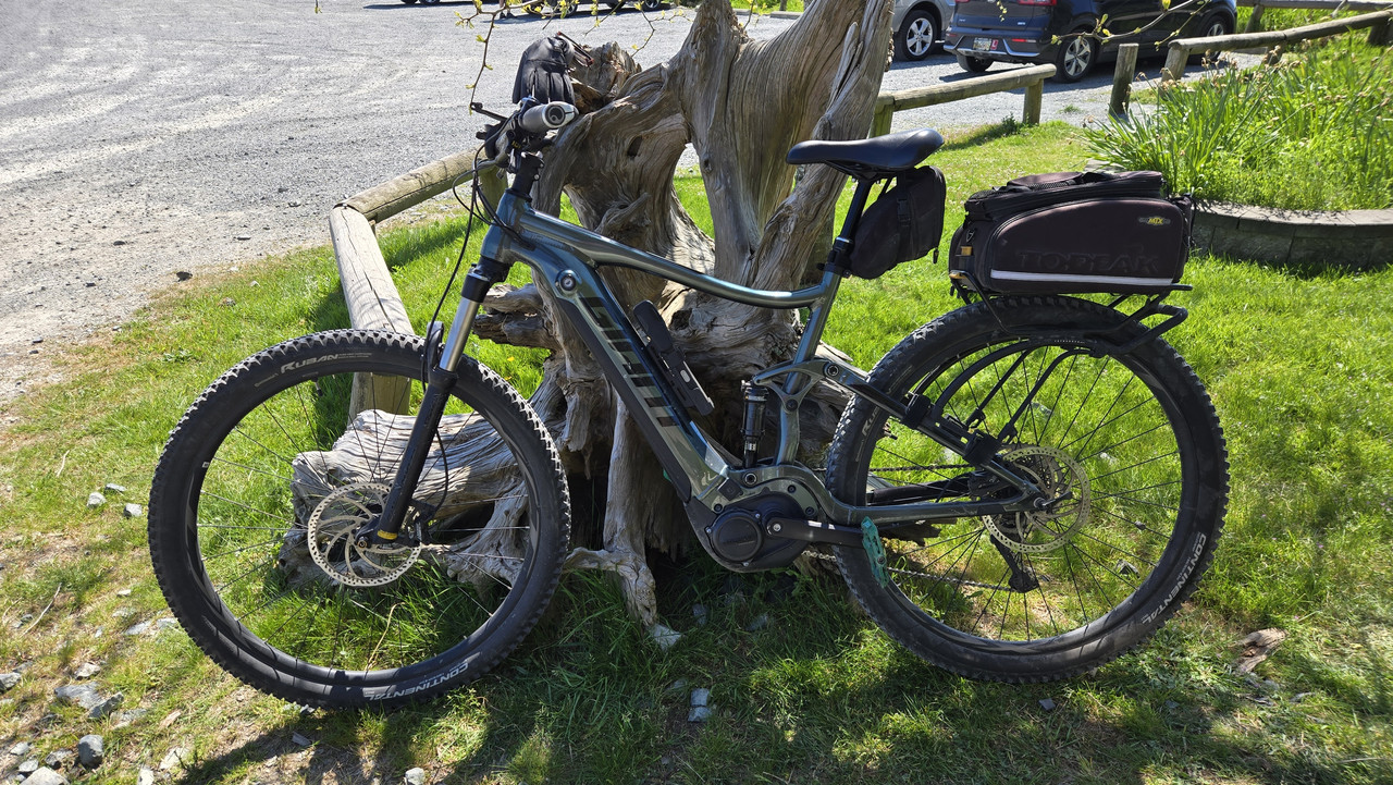
Finally, a
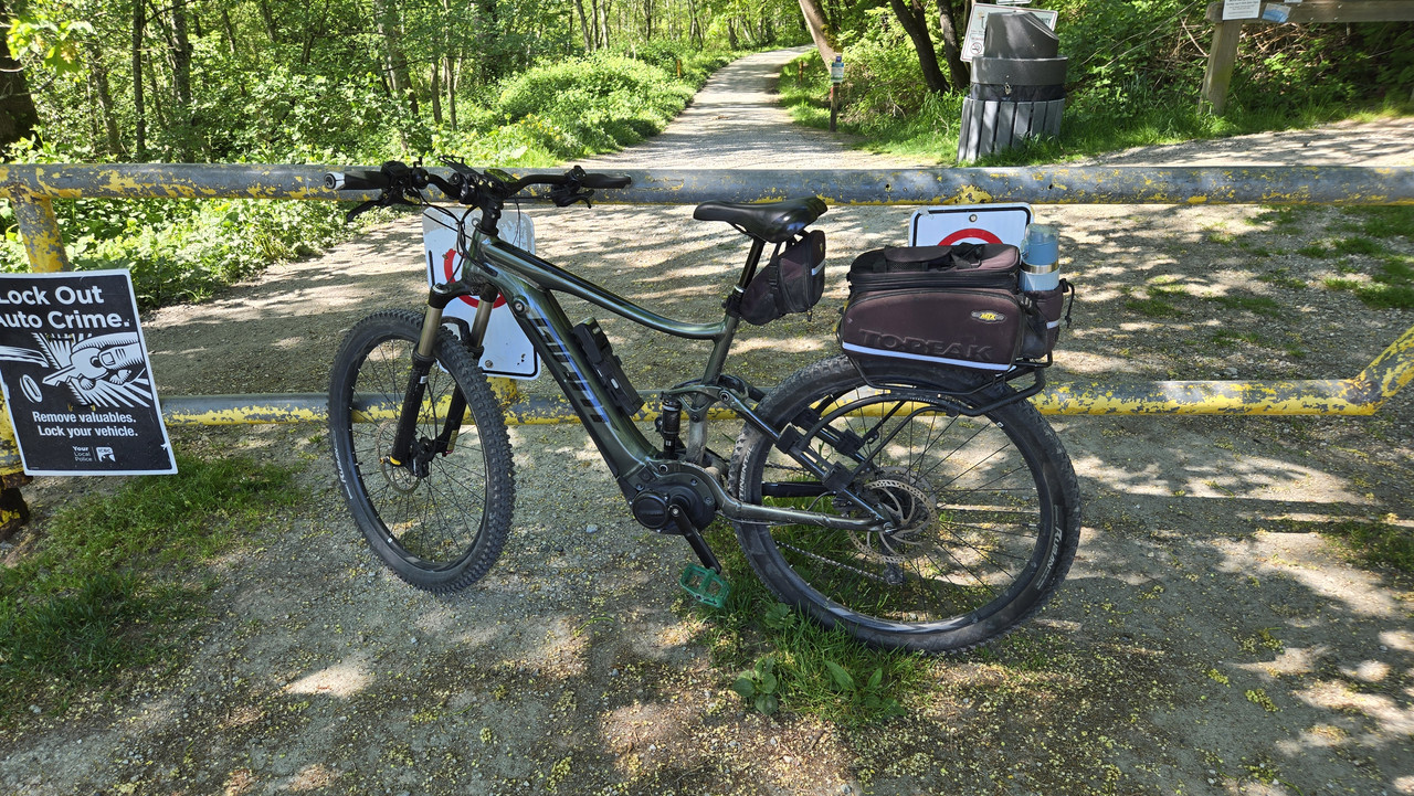
Specialized Levo 4 eMTB out front for rent at $125/day. I was an avid MTB rider 25-40 years ago but haven't been on one since. Getting a day on this one for my birthday.


")