stompandgo
Well-Known Member
- Region
- USA
Absolutely.
I am just starting to learn about the geology around where I live now.
I am just starting to learn about the geology around where I live now.


Excellent! Places always get more interesting when you start looking under the hood.Absolutely.
I am just starting to learn about the geology around where I live now.
I could say the same of the last few days. So cool yesterday, in fact, that I had to switch the one and only layer — a lightweight jersey — to long sleeves.Yesterday was absolutely gorgeous but getting cooler.


Oh sure... rub it in... rub rub rub it in...I could say the same of the last few days. So cool yesterday, in fact, that I had to switch the one and only layer — a lightweight jersey — to long sleeves.
;^}
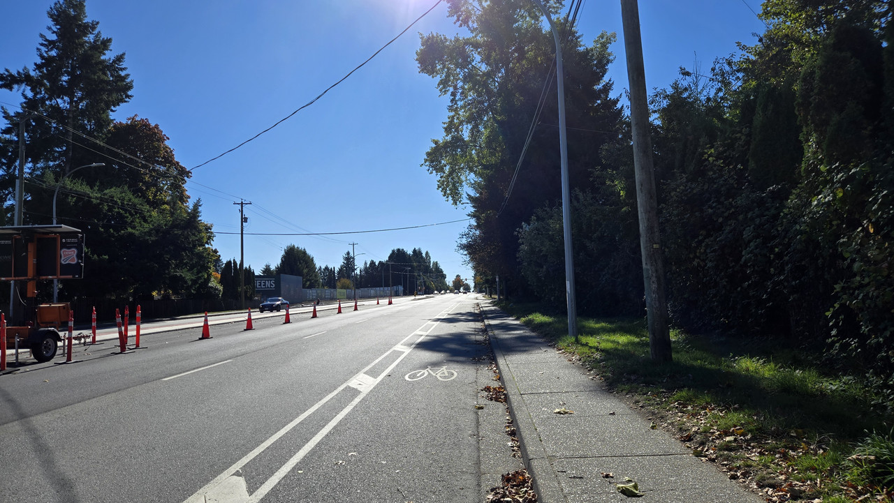
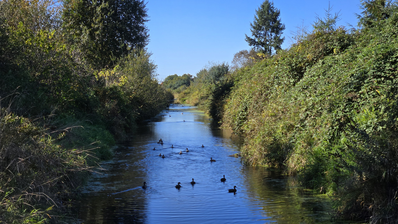
Good to see Mr. Pacific back for a visit in Mud Bay. After 3 years on the coast, the ocean and the beaches and sea cliffs and bays it touches all feel like one big living thing to me now.


I do so enjoy that.Oh sure... rub it in... rub rub rub it in...
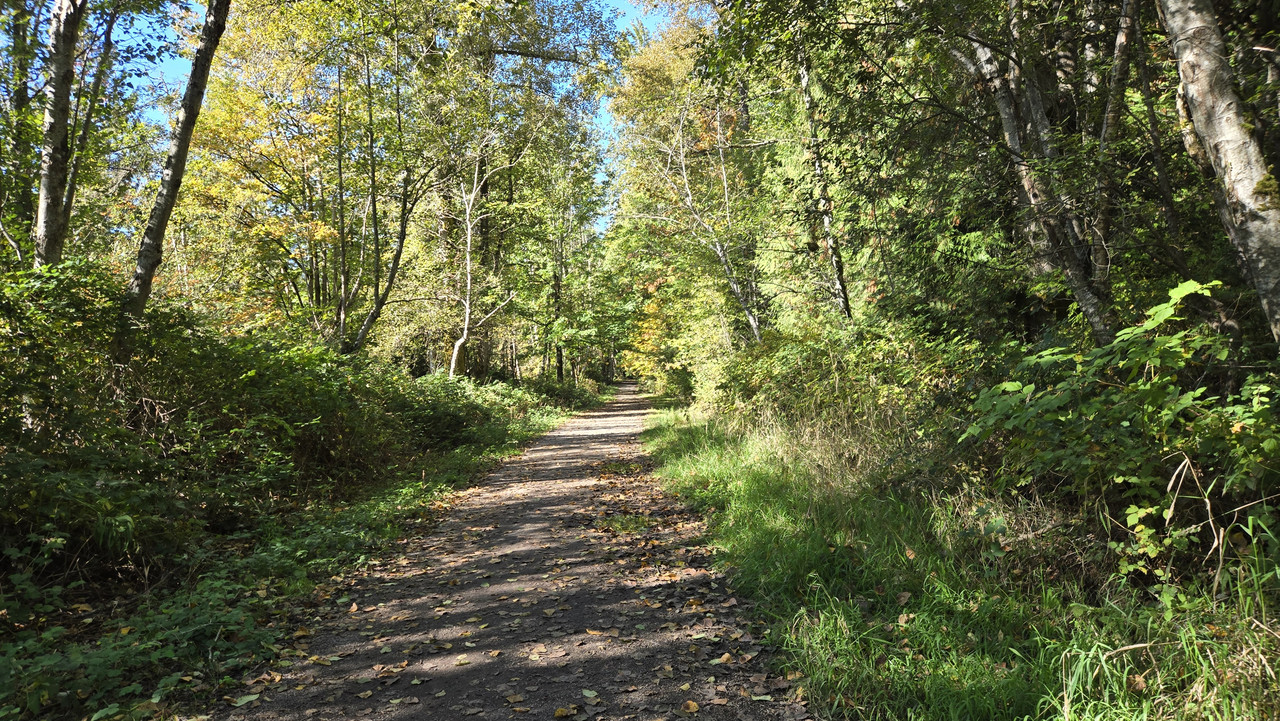
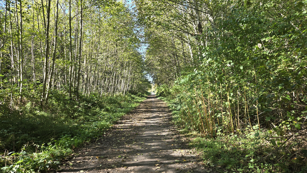
One day I must revisit...Taking a knee rest day made all the more delicious by our first Pacific storm of the season. Fun riding in the winds running ahead of it yesterday but rain on and off today.
View attachment 200922
Saturday, however, was a very different story. Gorgeous day for a morning poke around Encinitas with the missus. Looking south here from the city park above soyth Swami's Beach.
View attachment 200909
First stop, breakfast tacos at Moonlight Beach. The 5th Street ramp down to the beach, 1 block, 15%. Lots of these ramps in Encinitas and Carlsbad.
View attachment 200914
K and I both credit the Moonlight Beach concession stand with the best tacos in the county. And that's saying something in San Diego County!
View attachment 200913
View attachment 200915
The machaca breakfast tacos with carnitas, scrambled eggs, cheese, avocado, tomatos, and chopotle aoli just can't be beat.
View attachment 200919
View attachment 200920View attachment 200921
If course, you have to put up with eating them right on the beach.
View attachment 200916
View attachment 200918View attachment 200911View attachment 200912View attachment 200910
Volleyball players outnumbered all other beachgoers at the time.
View attachment 200917
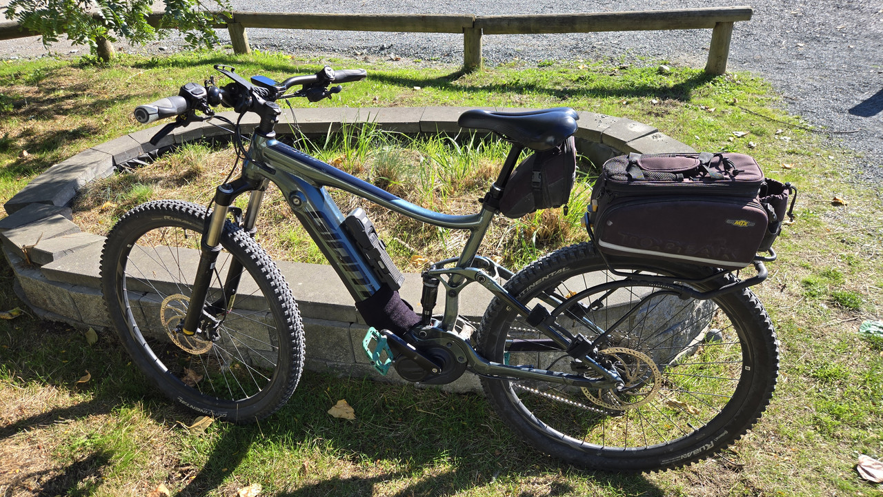
Ebikes are always parked at the Moonlight playground.
View attachment 200923
Next stop, Cali Cream out on the Coast Highway (aka Hwy 101) a few blocks away. Mint chocolate chip for her, key lime pie ice cream for me. Her blue Velotric Breeze, my yellow Vado SL 1.
View attachment 200926
Bike route is putting it mildly! Guessing hundreds of bikes per day if not more on this stretch of Coast Highway on weekends.
View attachment 200925
This pulled up while we were racing the drips down our cones. The 40-something guy who got out with his kids looked a lot more like a banker than expected. Said I could take a photo, then smiled. "Boyhood dream."
View attachment 200928View attachment 200927
Next, to the I Street overlook above north Swami's Beach, adjacent to the Self-Realization Fellowship Temple of Encinitas. Struck me that this concrete semicircle might be more than just a storm drain. It could be a portal to the 11th dimension.
View attachment 200929
K parked a safer distance away. She won't go farther than the 6th dimension.
View attachment 200930
The many different plants lining the edge of the bluff had one thing in common: Big nasty thorns. These prickly pear thorns were the lesst of them.
View attachment 200935
Our turnaround in south Encinitas was the aforementioned city park overlooking south Swami's Beach. Afternoon shot from the week before.
View attachment 200931
The famous reef break just offshore draws surfers from all over the world. Lowish calm swell this day, but with no close-outs, the surfers were catching nice long rides. Please pardon my phone's now crappy telephoto camera.
View attachment 200932
This guy stayed seated on his board the whole time. Caught more rides and longer rides than anybody else, and his paddle-outs looked easier, too.
View attachment 200933View attachment 200934
Meanwhile up in the parking lot, a grim reminder that surfing is a deadly sport.
View attachment 200936
And nearby, a reminder that we should (a) enjoy this lovely overlook while can, and (b) hope like hell we're not here when it gives way.
View attachment 200937
View attachment 200939
Final stop, the E Steet overlook above south Moonlight Beach, first looking SW, then NW.
Please do. We'll ride!One day I must revisit...
Hmmm... well let's see... by my calculation that's about 2400kms from here.Please do. We'll ride!
Our sea cliffs expose marine sedimentary rocks much weaker than your granites and limestones. They're definitely rock, but still no match for the highly destructive shoreline environment here.We have dangerous rip currents out here, too, but we don't have active bluff failure zones. We have houses that close to the edge out here, but they are in Maine, on granite and limestone, not sand and mud. How long do you think they have?
Not normally. But once saw a guy weaponize gulls by pouring french fries on a row of beach blankets. With the frenzy of gulls came lots of poop. Stirred up quite a ruckus among the humans, too.When you are eating on the beach, do seagulls try and steal your food?
No, he was in a legal space but had to take a few inches of bike lane to fit. Looked like he really tried to minimize the encroachment.Was the blue truck parked in the bike lane? Did you yell at him?
Thanks! It's a very nice ebike for the money.Her blue Breeze with the Topeak bag looks great.
Yes, I see them around. WAAAAAAY out of my league!Swami's sponsors a club and a racing team. You probably see their jerseys in your area. They are best known for hosting their early Wednesday morning "Worlds" training ride inside Camp Pendleton. I've never done it, but many I know have, and they say it's insane.

 www.atlasobscura.com
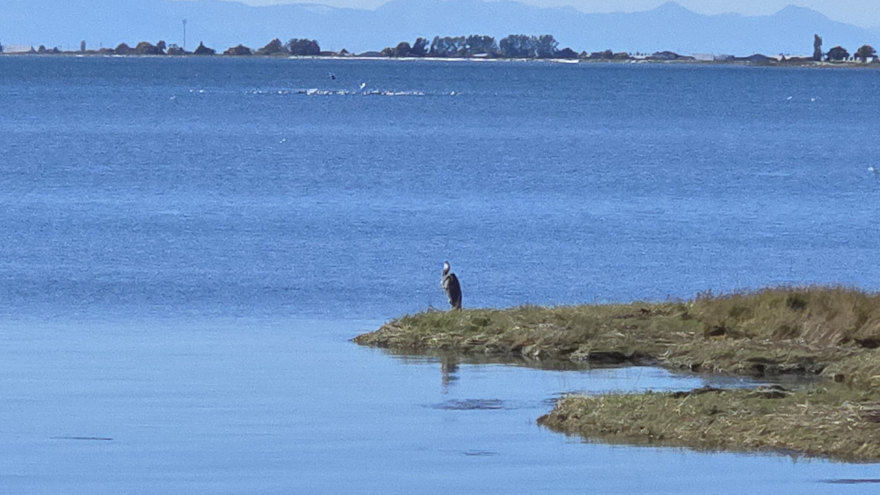
Sea spray plus osprey... Works for me!View attachment 200960
This old photo shows the view ahead as I rode south on the Coast Highway toward North Ponto Beach today. Saw something hovering above the face of the bluff beyond the bottom of the dip but couldn't make it out.
As I got closer, it was too big to be a typical drone, too thick to be a remote control glider, and not quite right for a pelican riding the cliff-face updraft (as they often do).
Nearly under it when I stopped in the parking lot and made the ID: The largest osprey I'd ever seen by far. Absolutely magnificent!
Then it flew off before I could get to my phone. So, here are some osprey photos shamelessly lifted from the internet...
View attachment 200961View attachment 200962
I saw mostly the underside.
View attachment 200963View attachment 200964
Common names: Sea hawk, fish hawk.
A mating pair we ran into on San Deigo Bay 2 years ago...
View attachment 200959

Great article! So many familiar themes.Our coastal bluffs here in the Sound lose just about a foot every hundred years, so much slower than SoCal on average.
Different story out on the coast. North Cove lost ~100ft/year for much of the last century and over 160 structures on what became known as Washaway Beach.
@Jeremy McCreary you might find this story of how the locals turned the tide and might have saved the rest of the town. You've mentioned the seasonal movement of sand and cobbles at your SoCal beaches.
Washington's 'Washaway Beach' Experiment Is Reshaping Ideas About Coastal Erosion
In 2016, a concerned local dropped $400 worth of rock on a vanishing beach to see what would happen. Now engineers are watching, too.
 by the side of the road,..