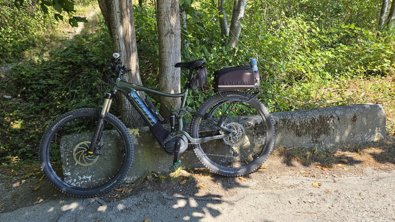
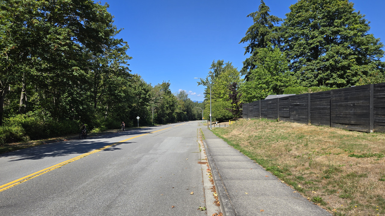
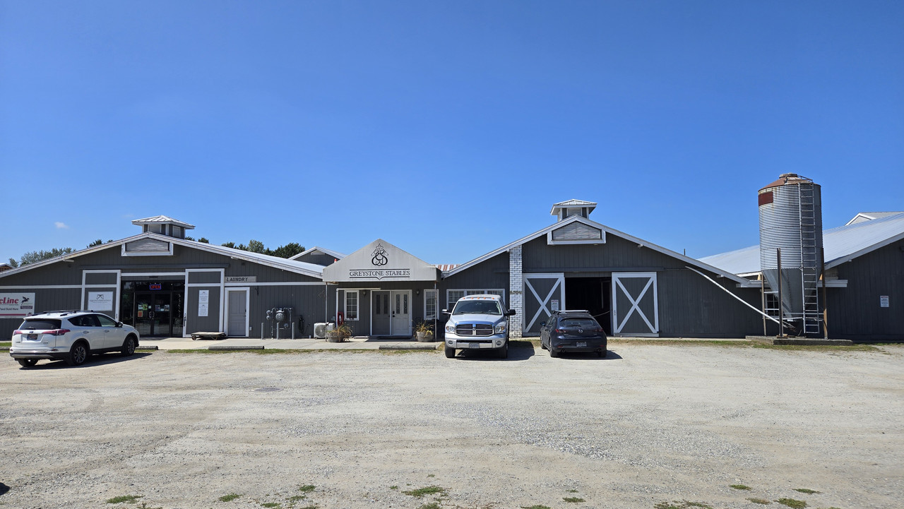
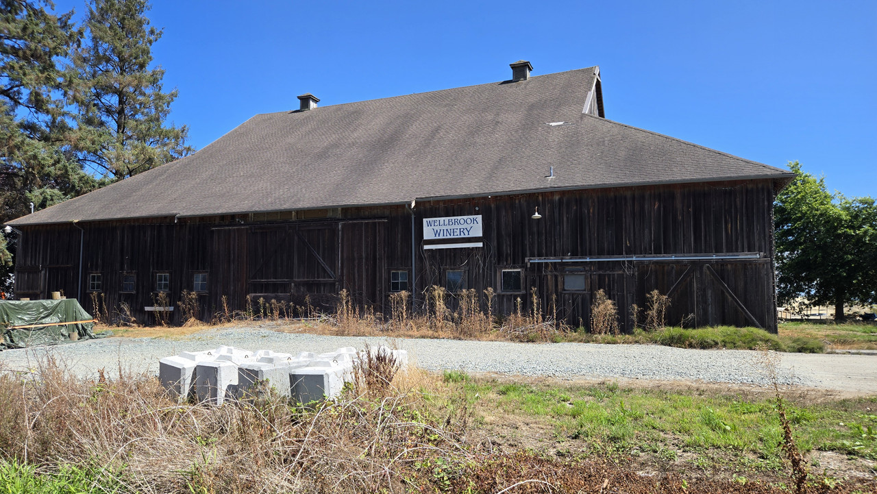
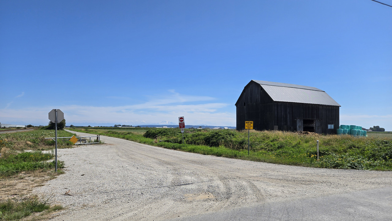
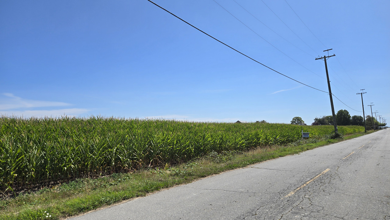
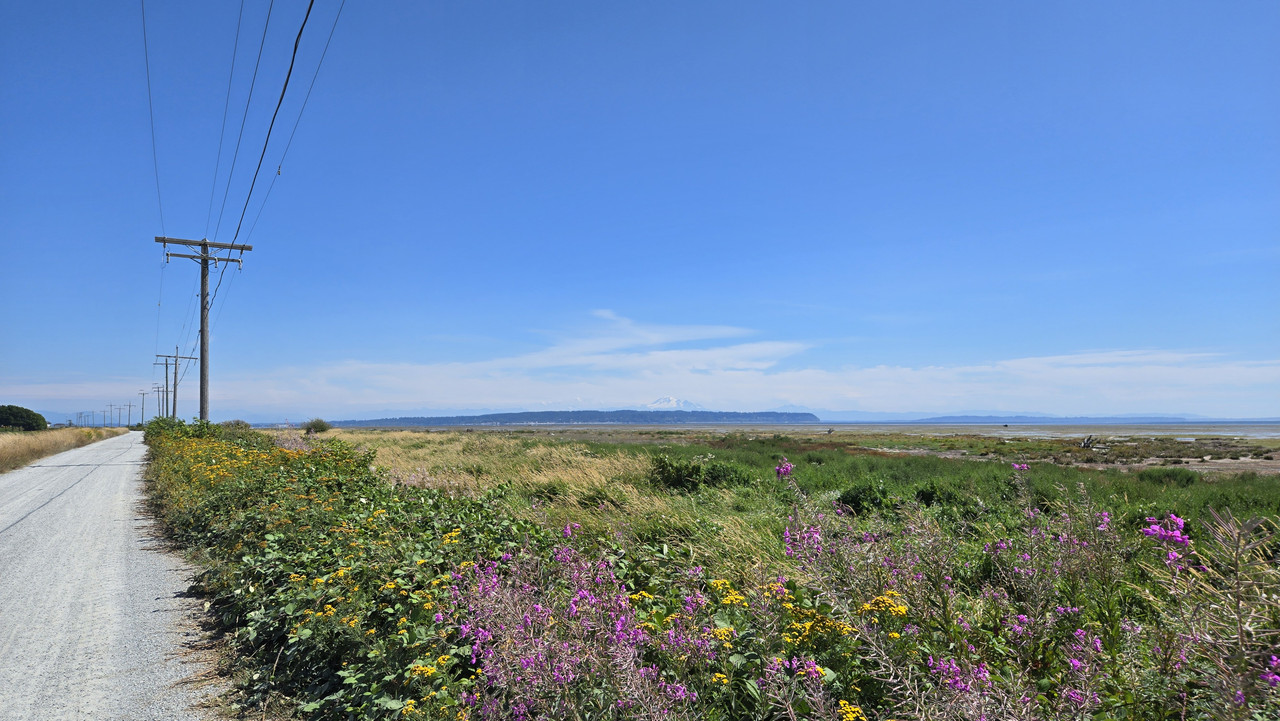
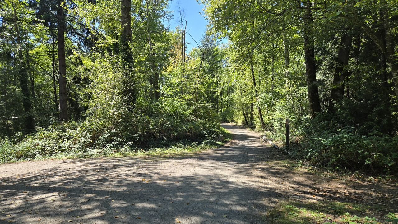
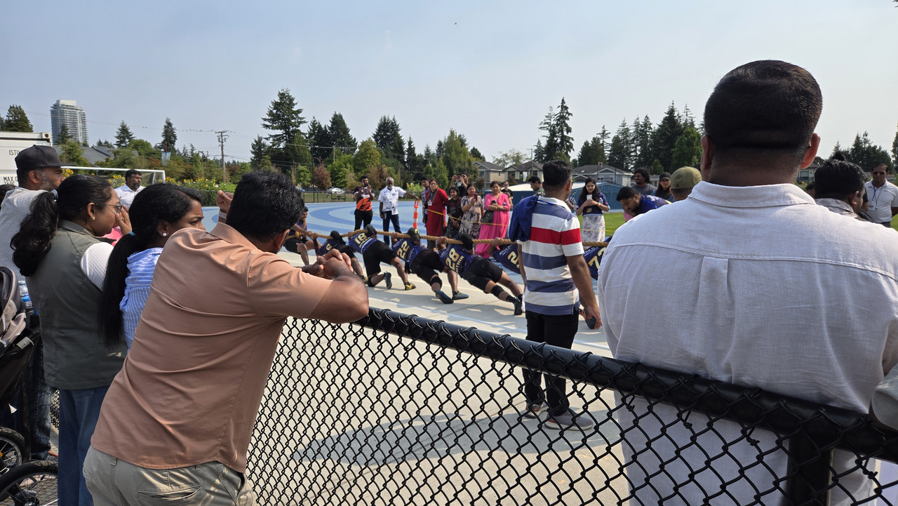
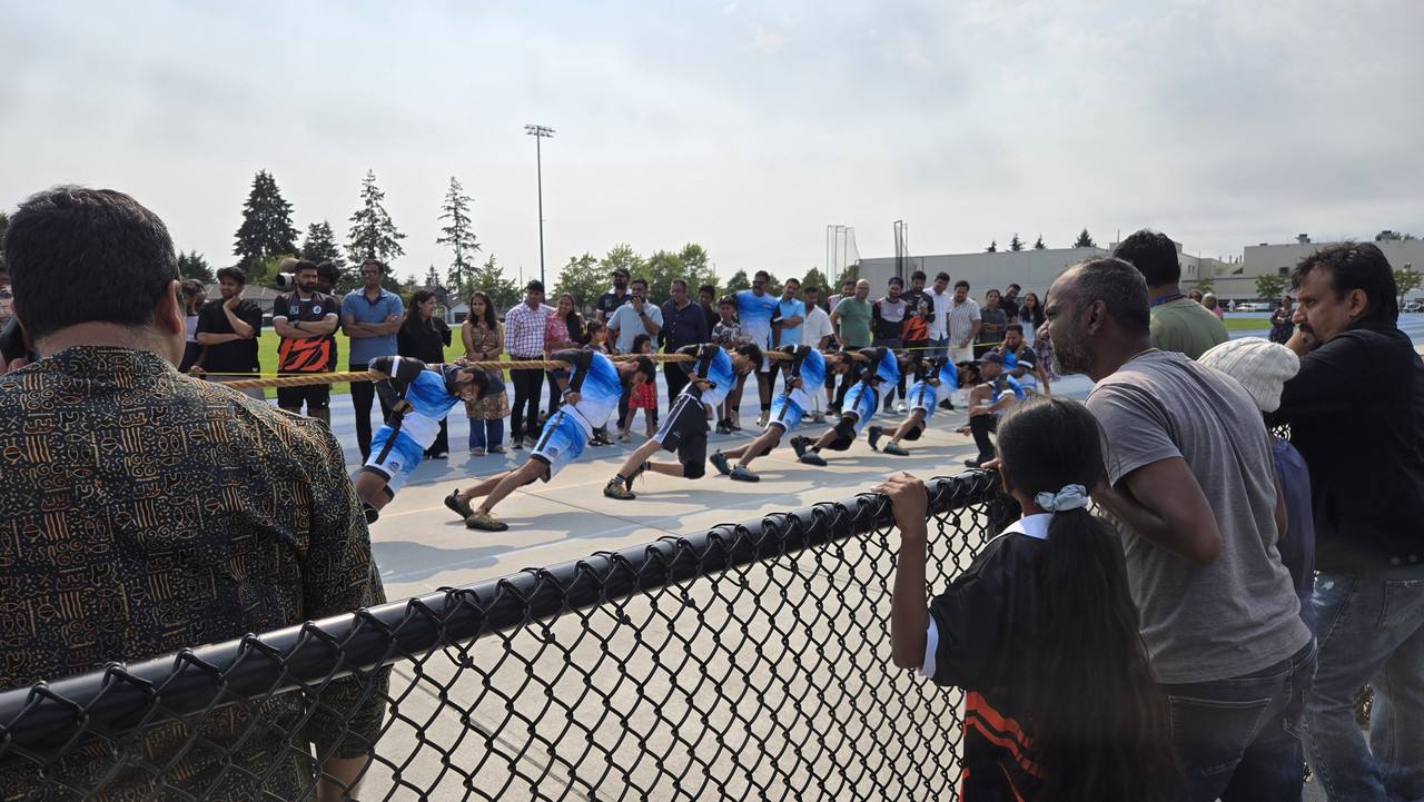
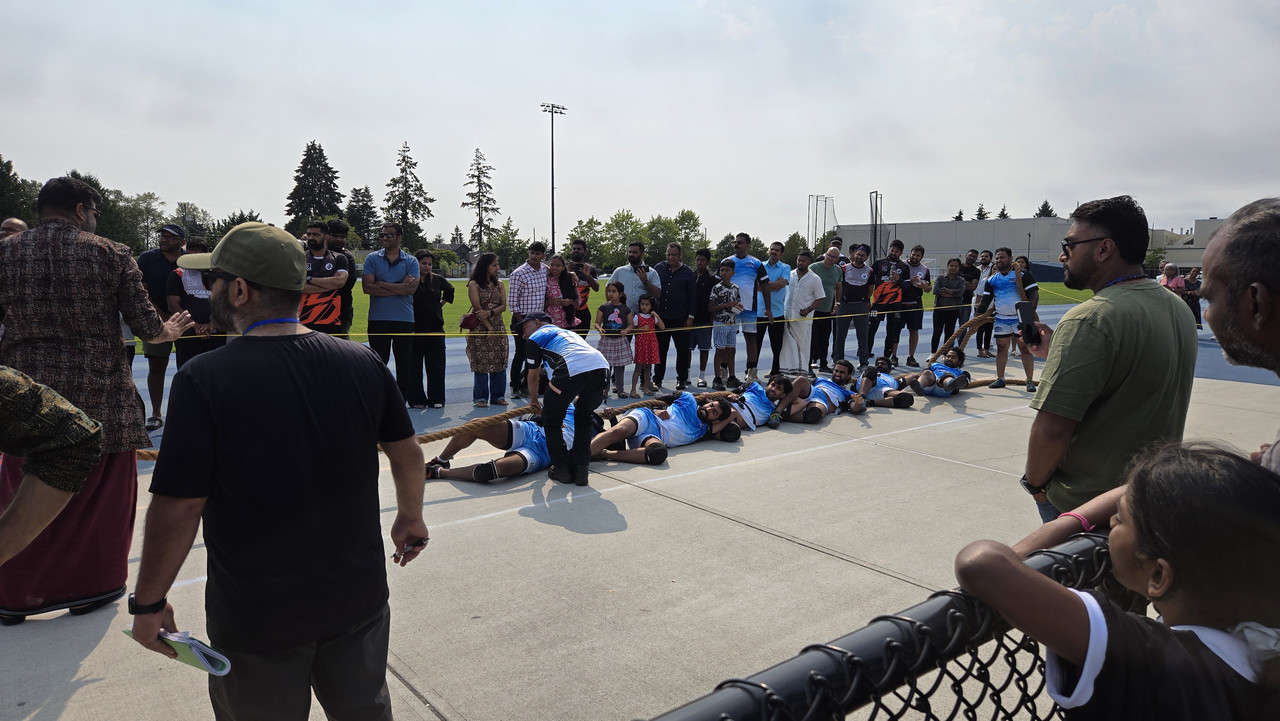
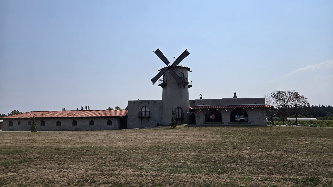
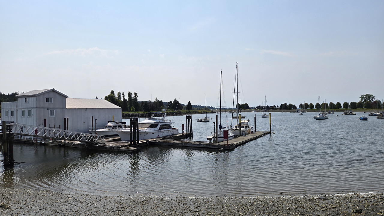
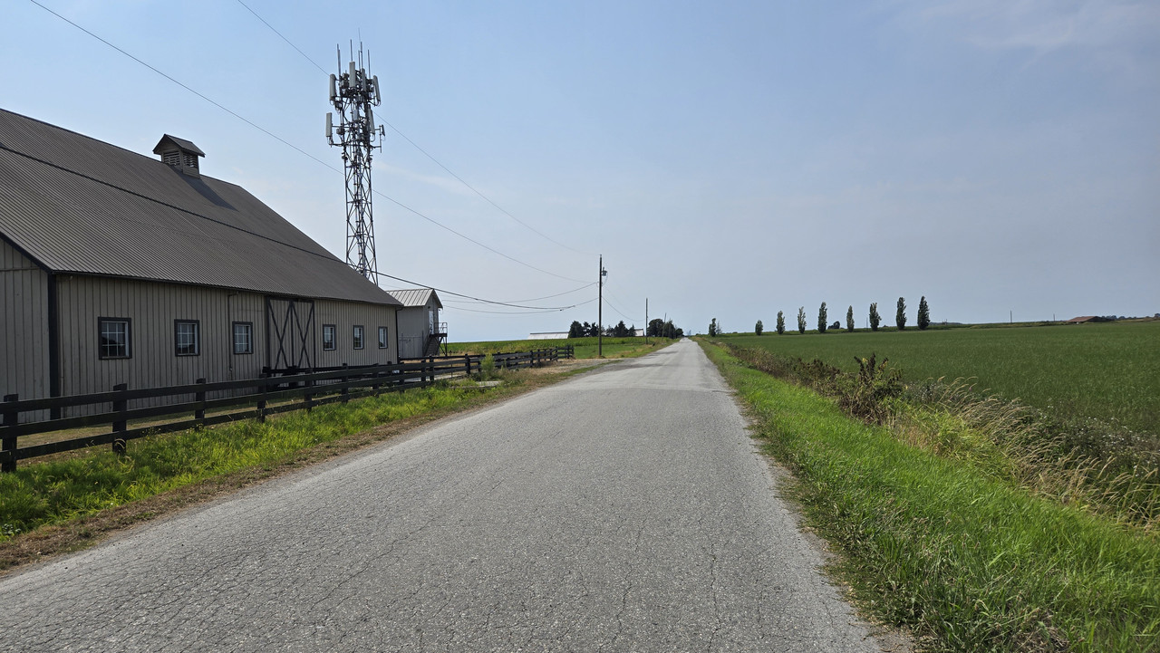
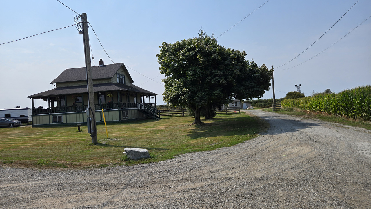
Show us pictures of where you ride your ebikes!

Riding the hills over the past few weeks, Im amazed more of it isnt on fire, I could have taken a box of matches and started an inferno.
I guess grass just doesnt self ignite in remote areas as easily as it does where people are.
 
US Open of Surfing took place last week here in HB, ending over the weekend....just some sights

IMG_0204.jpeg

IMG_0207.jpeg
IMG_0212.jpeg
IMG_0214.jpeg
IMG_0216.jpeg
IMG_0218.jpeg
IMG_0219.jpeg
IMG_0228.jpeg
IMG_0256.jpeg
IMG_0253.jpeg
IMG_0251.jpeg
IMG_0244.jpeg
IMG_0233.jpeg
IMG_0230.jpeg
IMG_0258.jpeg
IMG_0259.jpeg
IMG_0275.jpeg
IMG_0282.jpeg
IMG_0276.jpeg
IMG_0278.jpeg
 
Last edited:
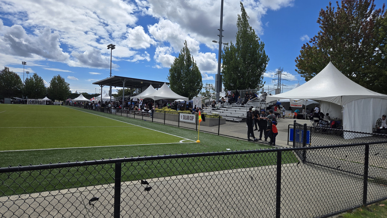
Yesterday another quickie out to the sports fields. It had rained hard in the morning but looked great in the afternoon.


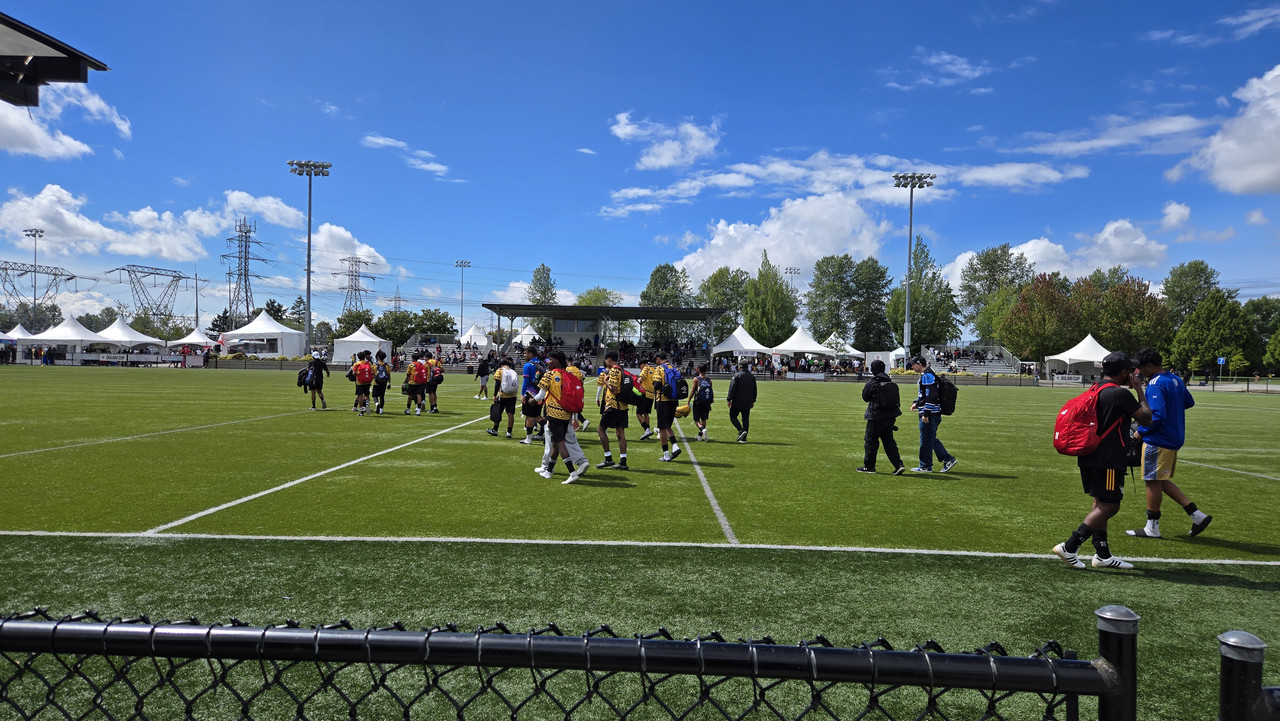
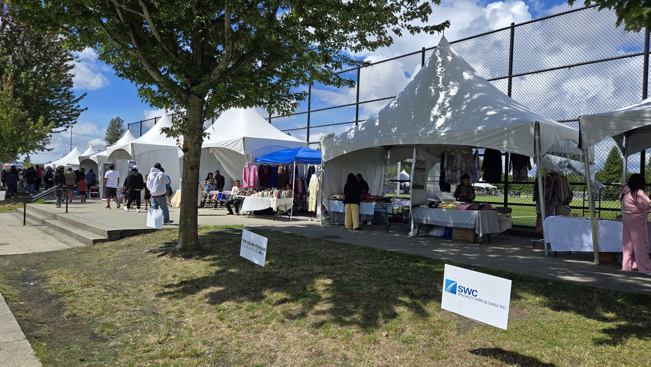
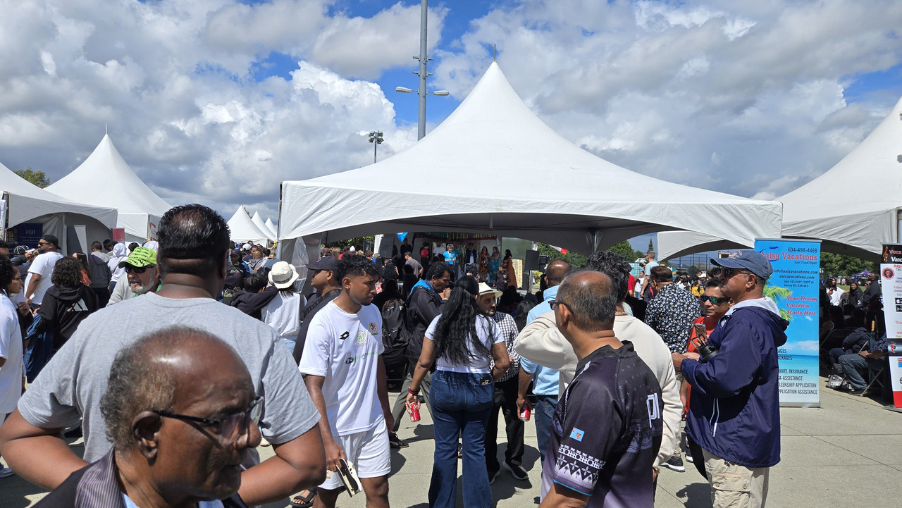
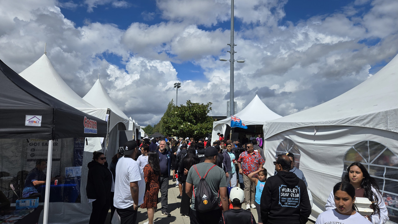
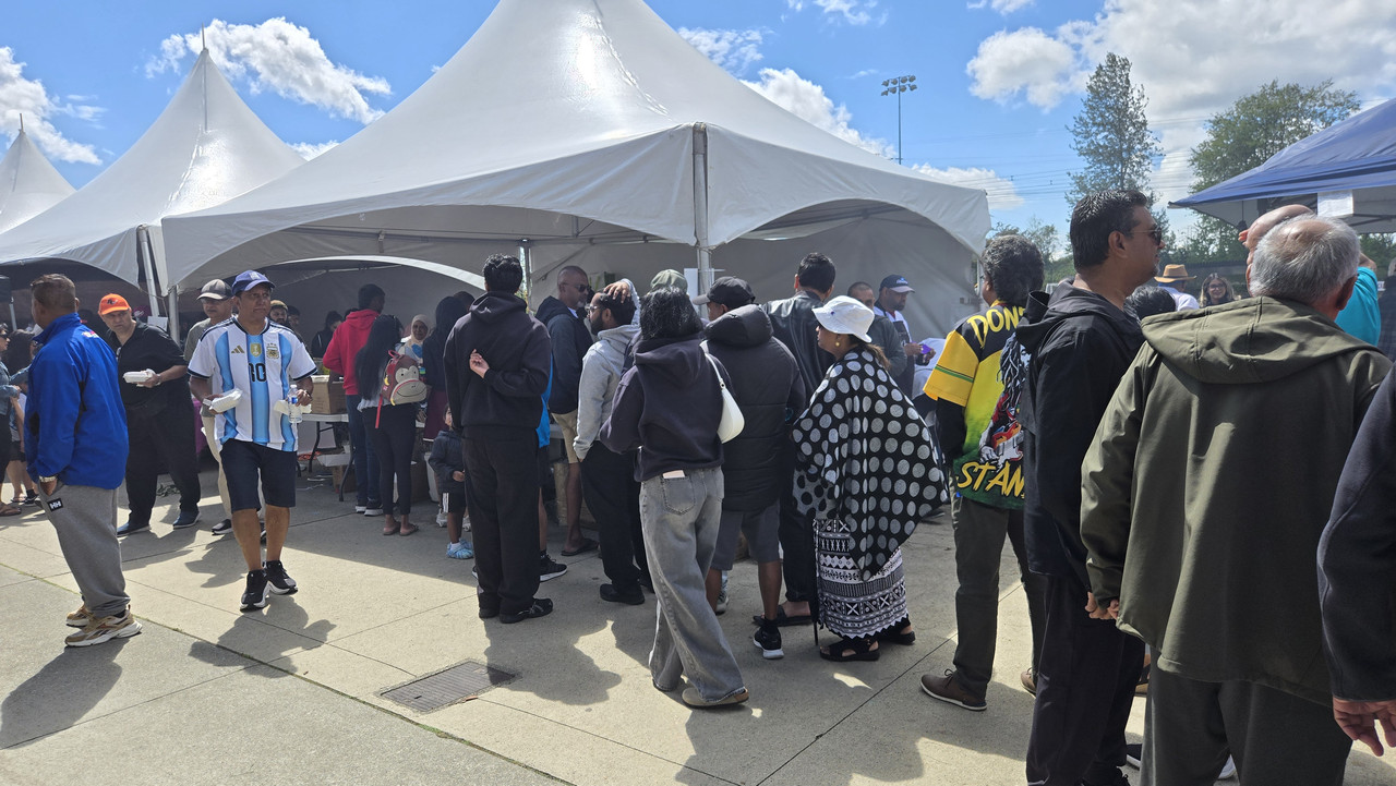
Turns out there was a large soccer tournament called the Dulari Cup being held. The Fijian community was heavily represented with players, music, food, and other booths.


This stage was presenting medals to teams...


The aromas from the various food vendors was incredibly enticing. I was very tempted to grab a meal but talked myself out of it in favour of supper later.


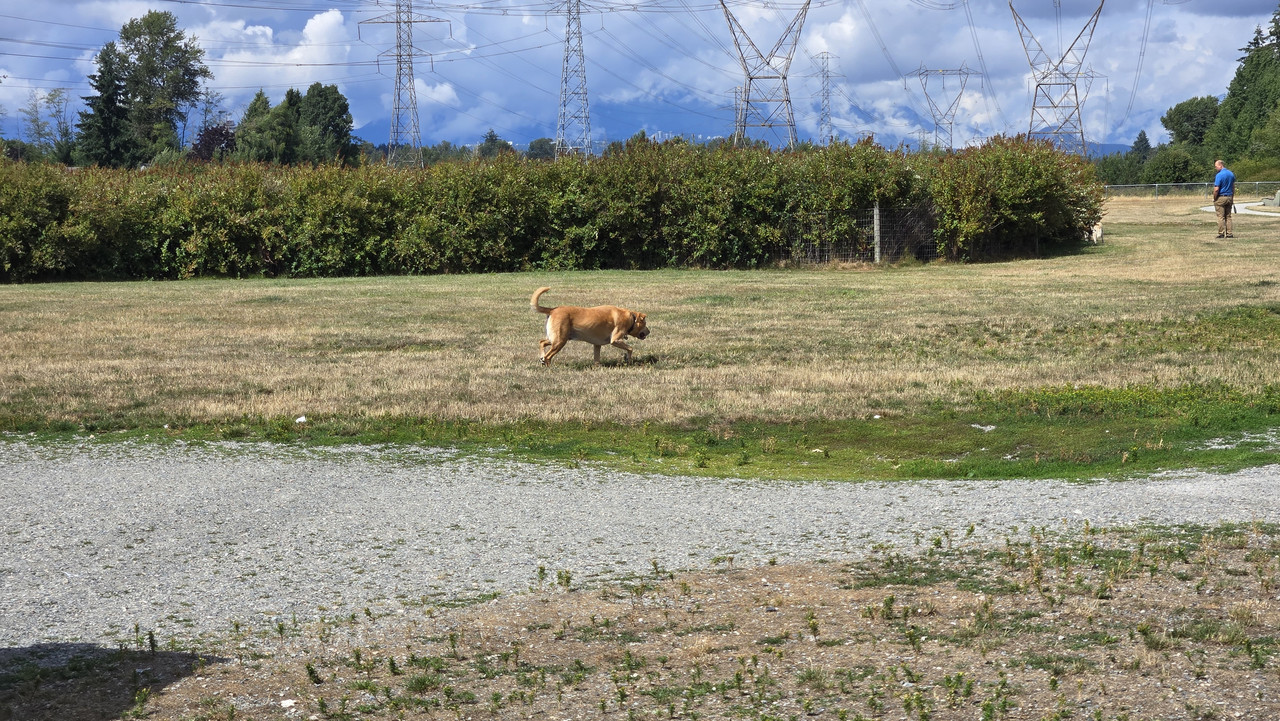
This older pup at the dog park close by was slowing down but still having fun...


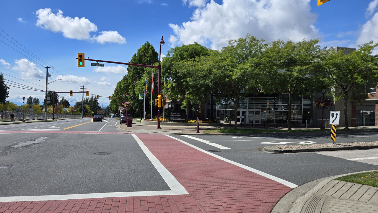
Local police station on the way home...

 
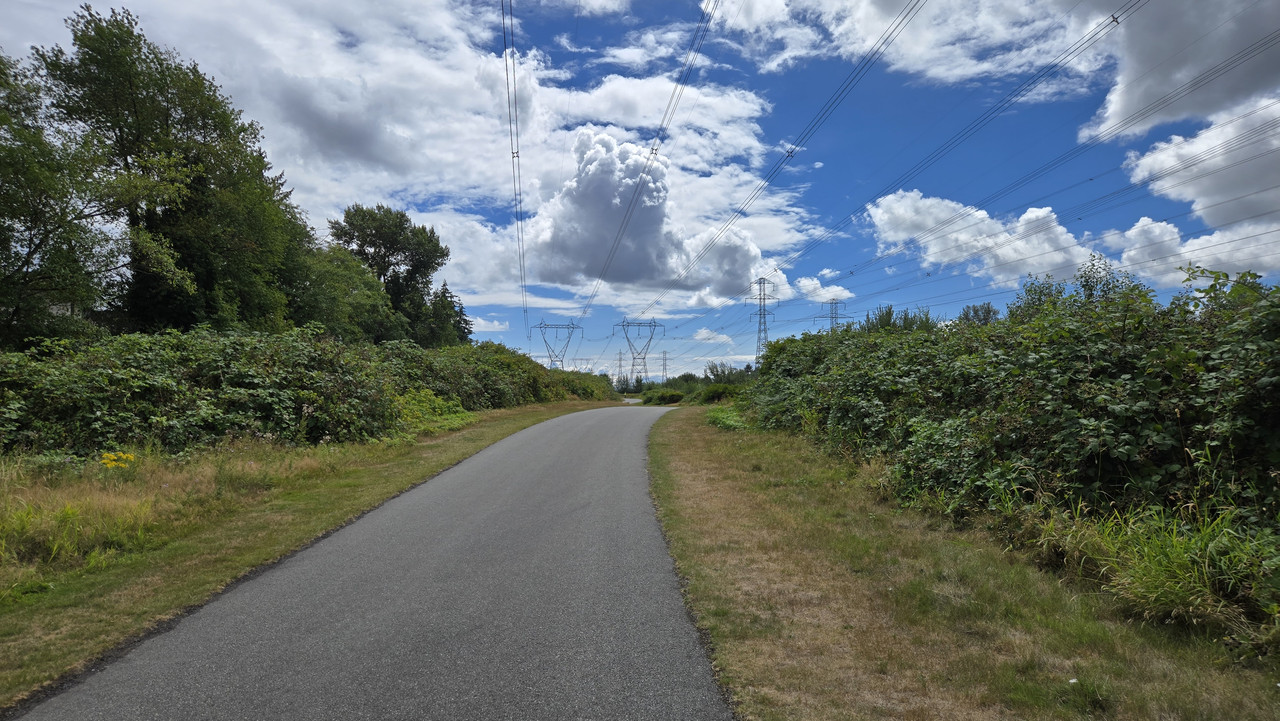
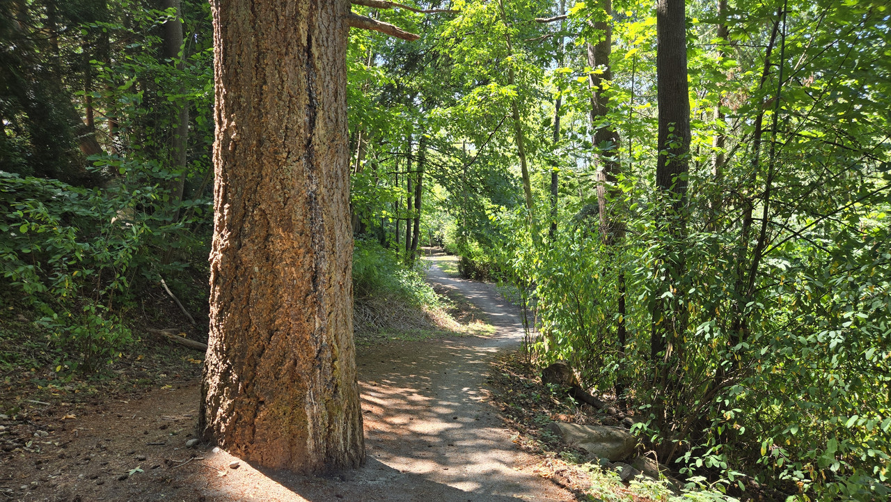
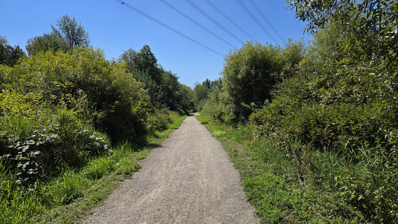
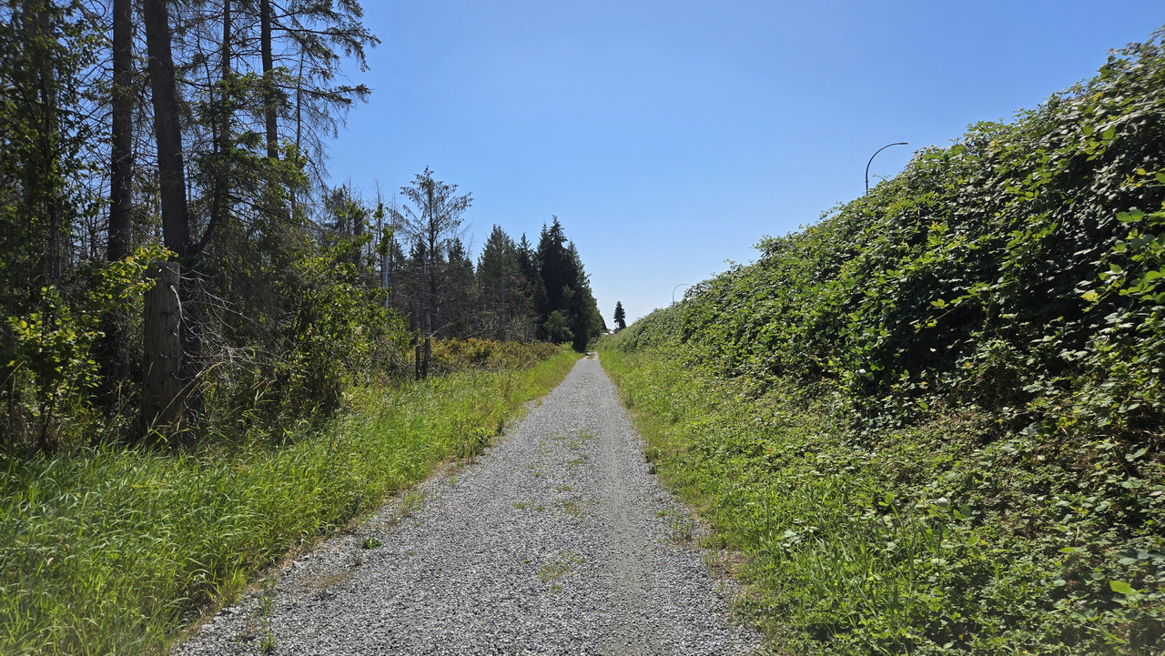
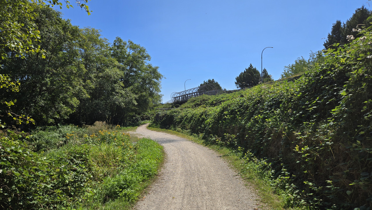
A holiday in B.C. here today, so I took the opportunity to get out for a third day straight. Absolutely gorgeous day, so with the recent rains here I thought I'd go check out the greenway to see if it was flooding at all.


Dry as a bone!


This switchback up to the covered overpass is steep...


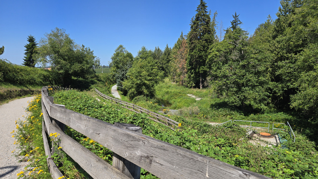
Looking down...


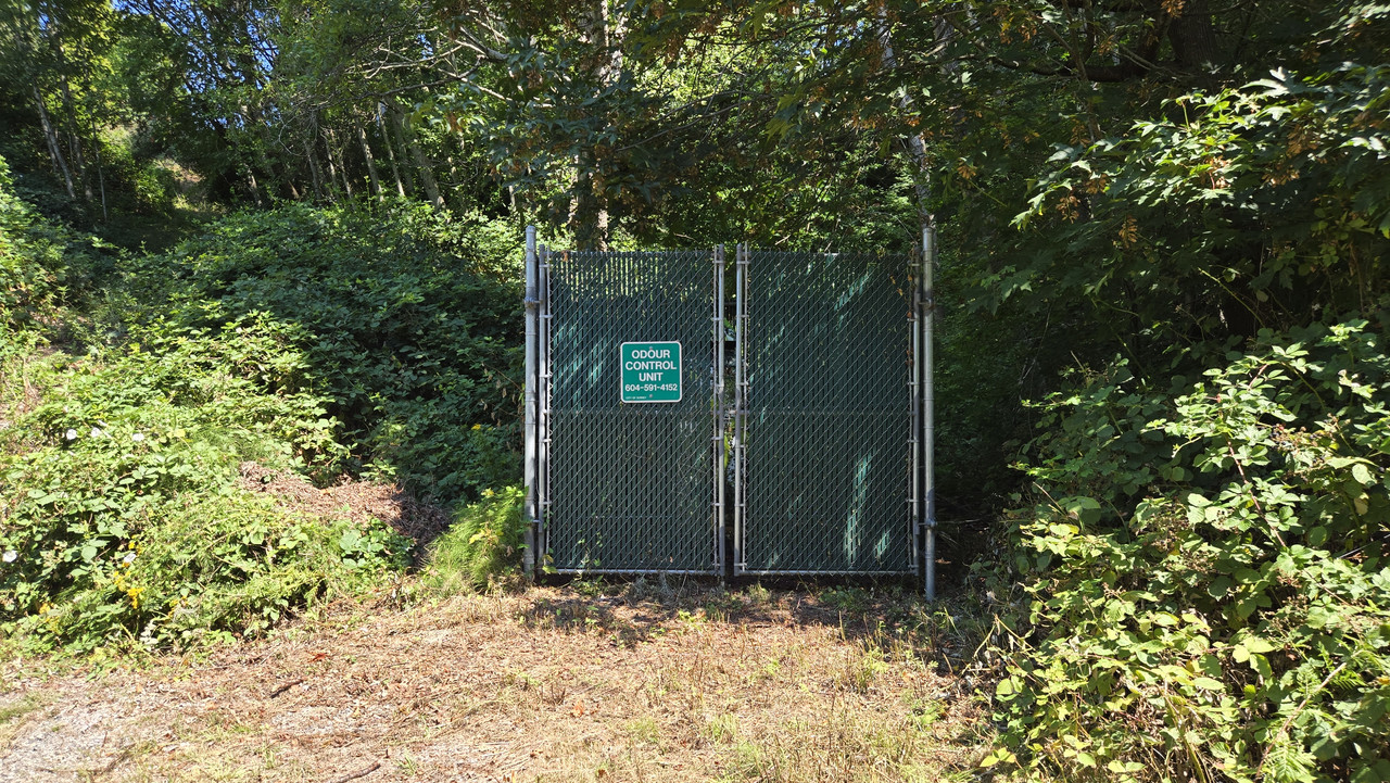
I had beans for lunch. Apologies...


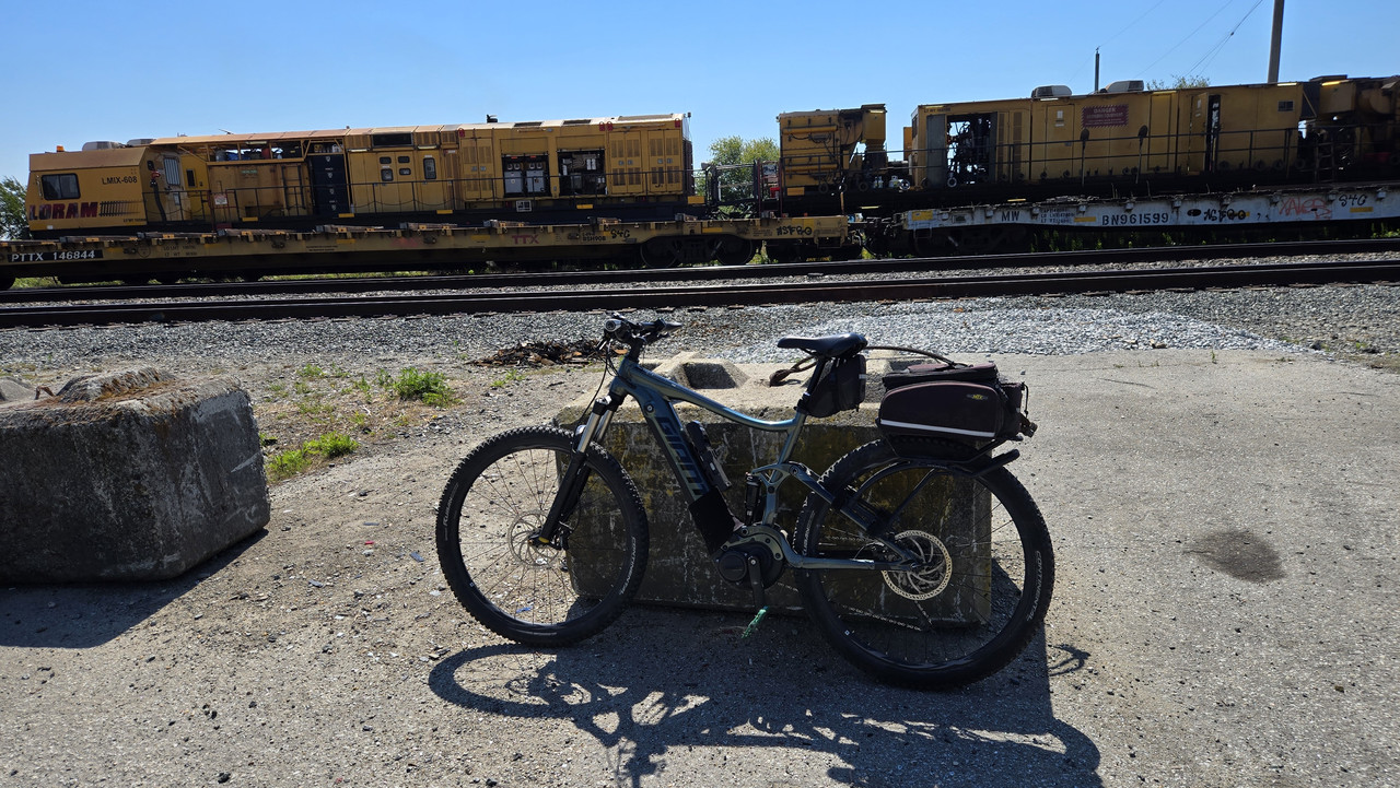
This crew was stationary, and working on the track bedding...


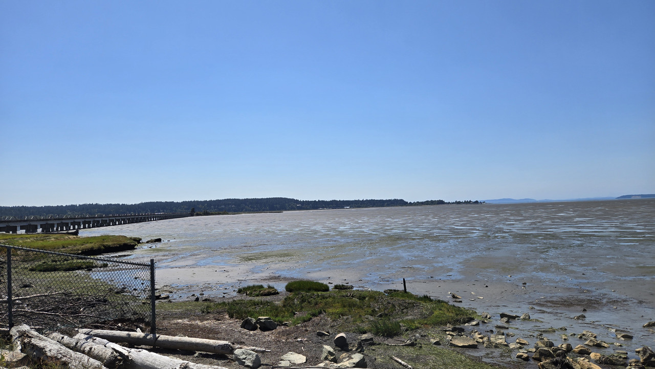
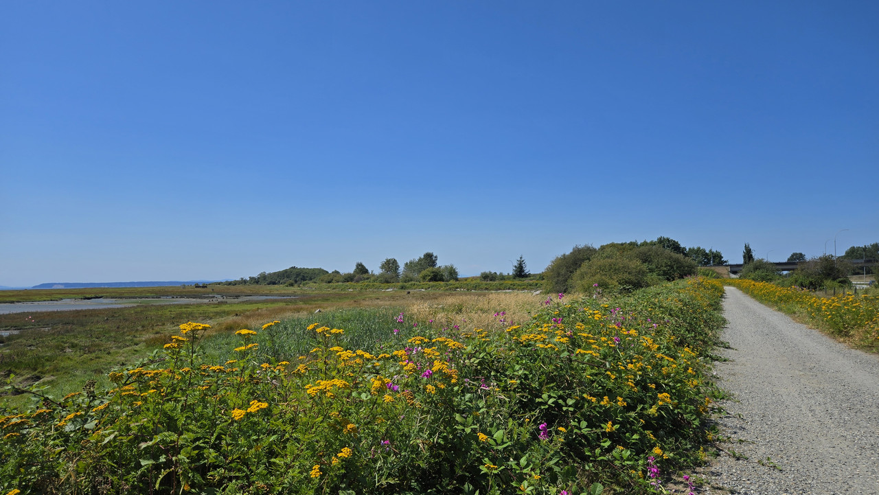
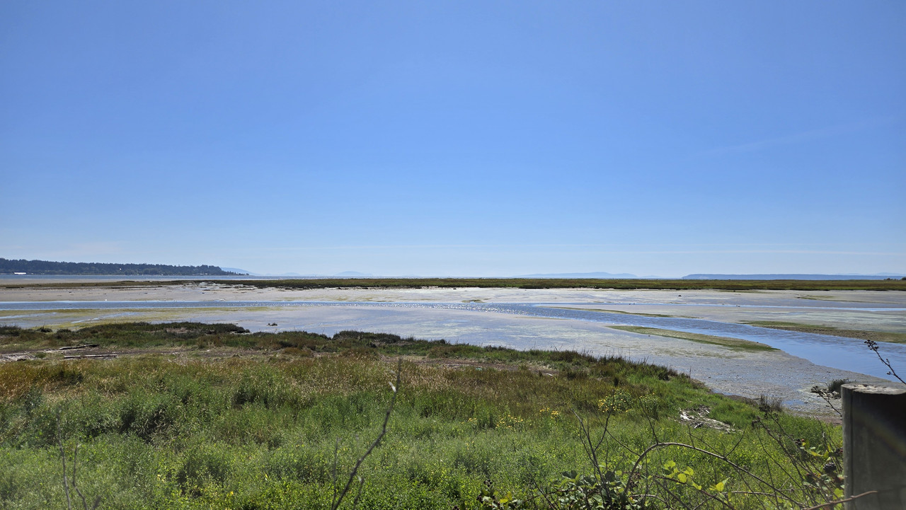
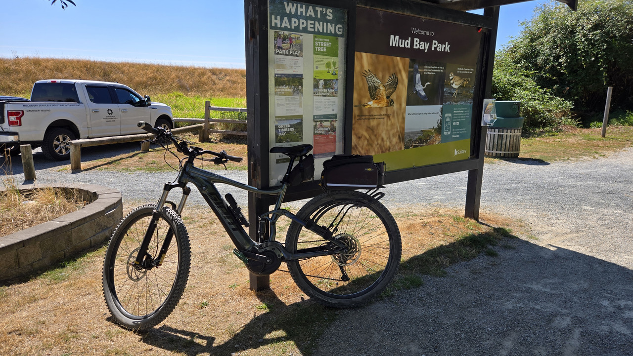
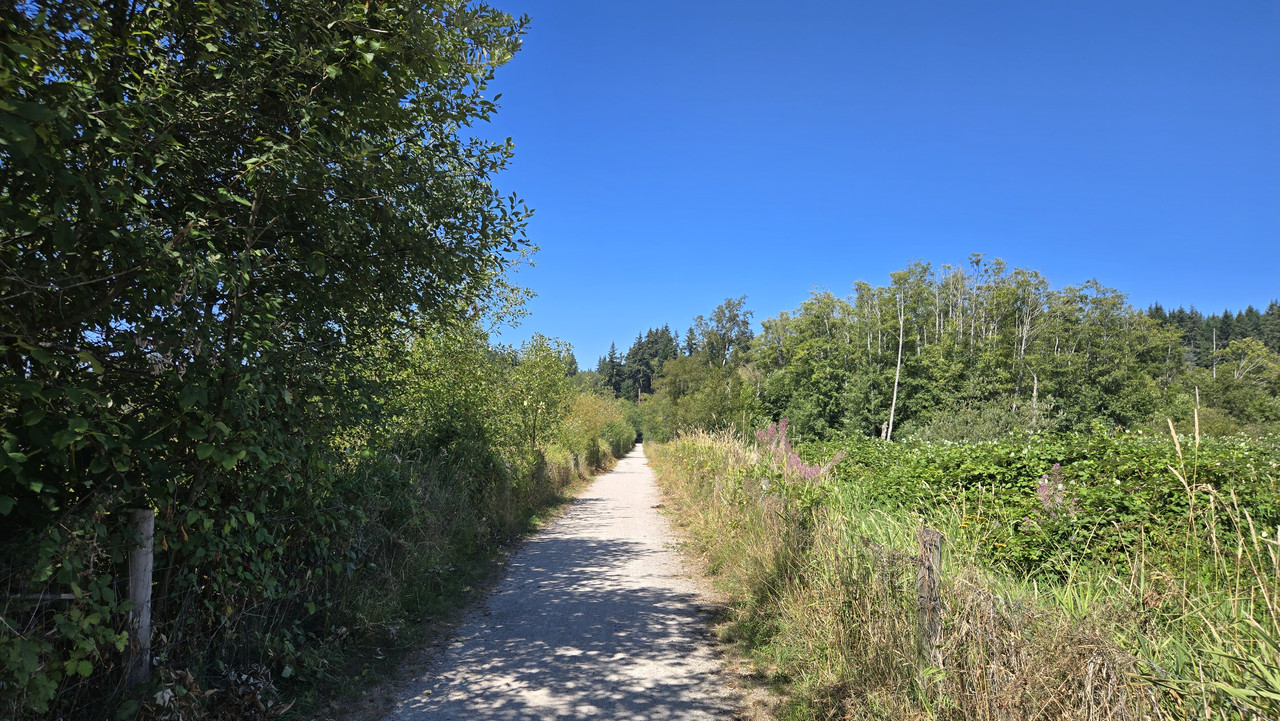
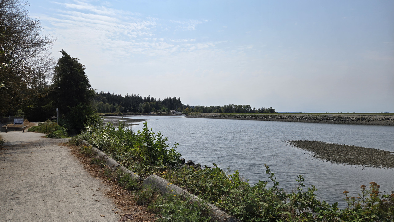
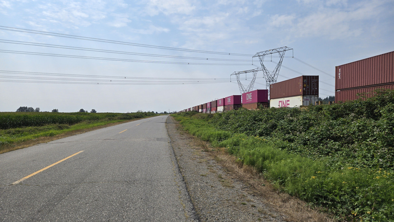
Decided to to do a few clicks on the Mud Bay trail...


Pretty cool location...


Pit stop about halfway through for some water...


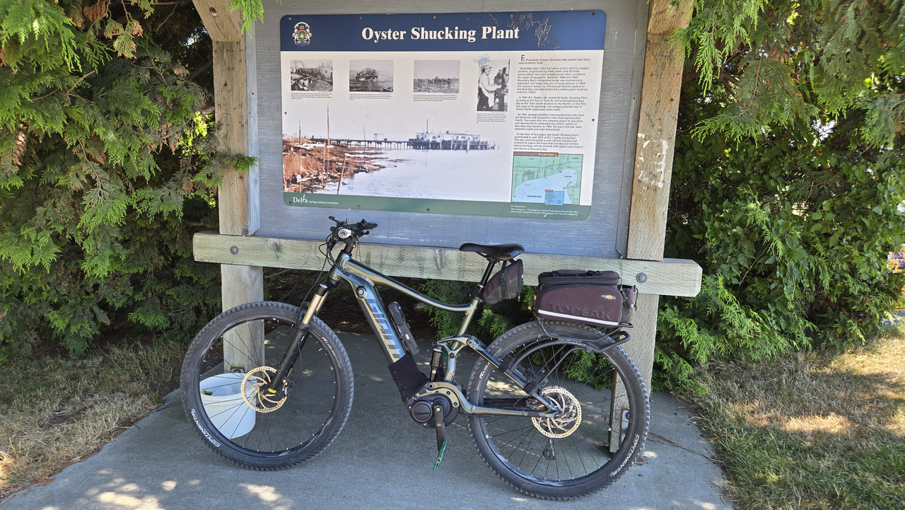
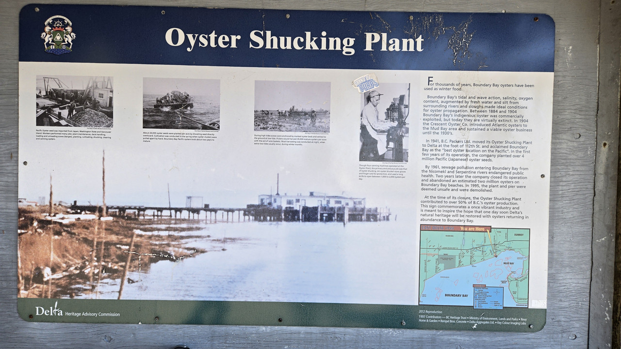
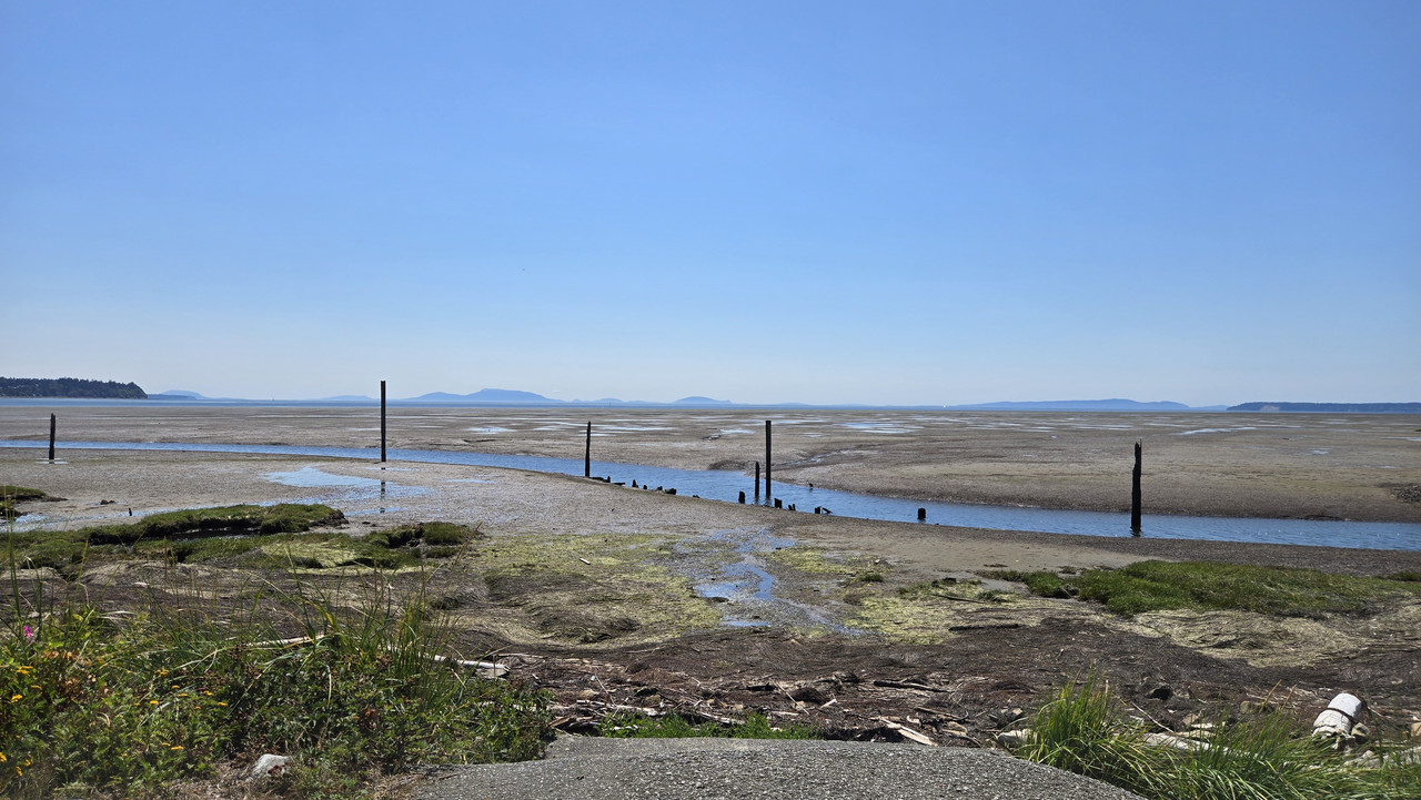
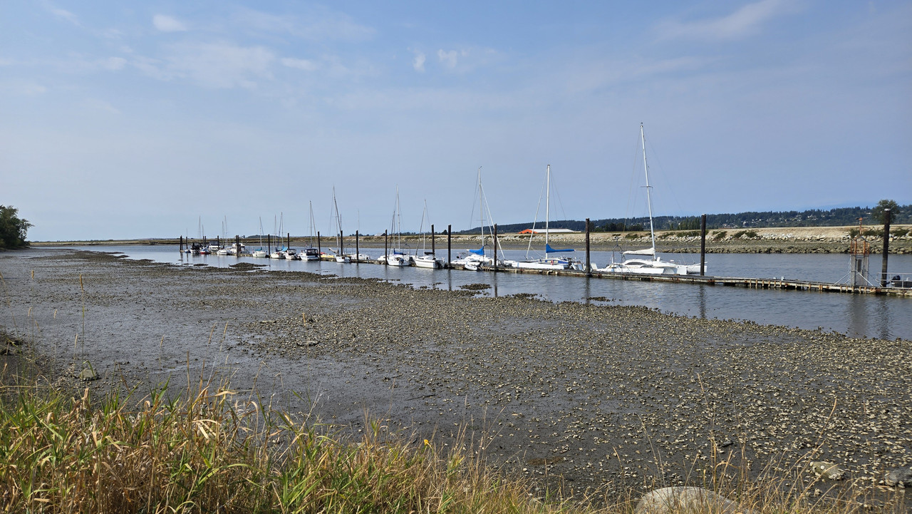
Remnants of the oyster plant...


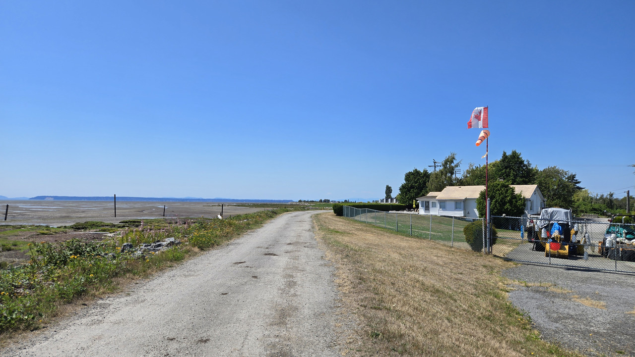
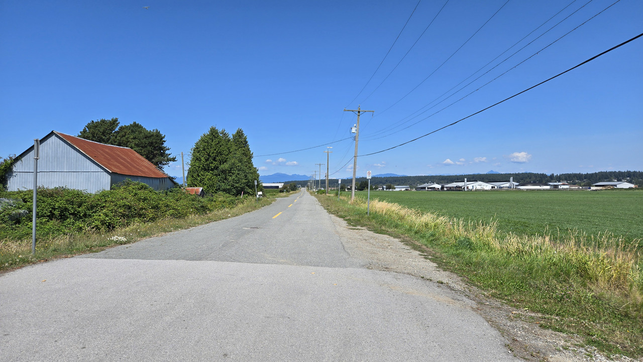
Taking the road North...


Then heading East...


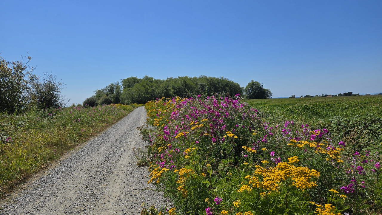
Corn is starting to get tall...


Final water stop...


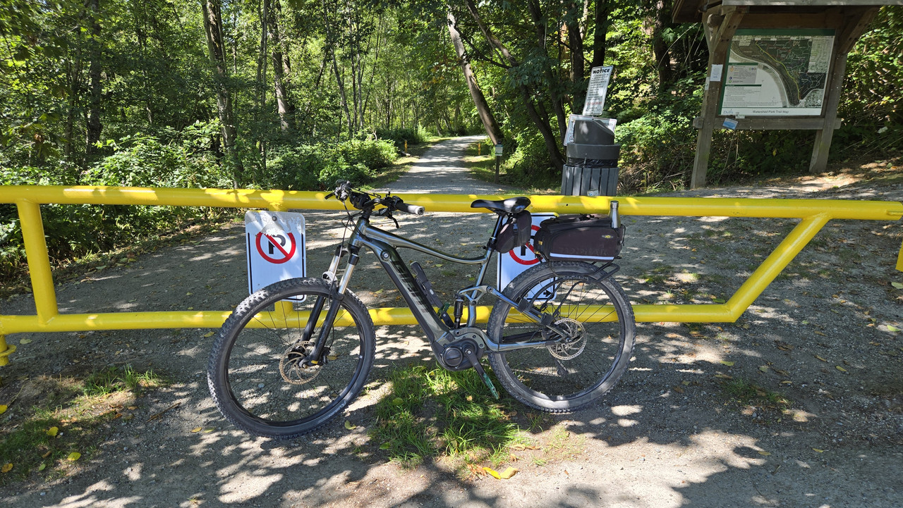
Watershed Park was busier than usual...


After that I take an arterial road North to home...


Trying to increase stamina, so pushed it a bit today. Rubber legs...
 
A holiday in B.C. here today, so I took the opportunity to get out for a third day straight. Absolutely gorgeous day, so with the recent rains here I thought I'd go check out the greenway to see if it was flooding at all.


Dry as a bone!


Wait, isn't that 3rd photo where your perennial Nemesis puddle used to be??

Pretty scary when things are already that dry in early August. But imagine how much worse it would be if we had global warming!
;^}
 
Last edited:
Wait, isn't that 3rd photo where your perennial Nemesis puddle used to be??

Pretty scary when things are already that dry in early August. But imagine how much worse it would be if we had global warming!
;^}
Close to the Nemesis location indeed! I was actually quite surprised how dry it was.
Global warming? What?? Naaaahhh... 😁
 
Having grown up in central North Carolina — where 95° and 95% is a pretty typical summer day — I don't allow myself to use the word "hot" in connection with the weather here, right on the San Diego County coast. But today's unusually high temperatures and humidity were definitely approaching "hotesque".

And that meant staying as close to the water as possible on today's 17 mi ride. You can count on a cool sea breeze there between Santa Ana wind events. Such a lovely gift from the ocean on a day like this!

20260806_163412.jpg

The only photo stop was atop the "cold water jetty" (CWJ) near my northern turnaround in Carlsbad.

20260806_163224.jpg

The CWJ is the more northern of the 2 jetties bracketing south Tamarack Beach — the other being (what else?) the "warm water jetty" (WWJ).

20260806_163619.jpg

Looking south, telephoto of the WWJ with the ultra-posh homes atop Terramar Head just beyond. Unfortunately for me, this jetty blocks low-tide beach rides coming from farther south.

Screenshot_20260806_204224_Ride with GPS.jpg

Let me explain these odd jetty names with some satellite views. South Tamarack Beach is a narrow sand spit across the mouth of Agua Hedionda Lagoon. The Coast Highway (red line) now runs its length.

The first Spanish explorers named the lagoon "stinkwater", as it was a near-stagnant salt marsh lacking a direct ocean connection at the time. The now well-flushed lagoon no longer stinks, but their Agua Hedionda put-down stuck.

Screenshot_20260806_204003_Ride with GPS.jpg

The CWJ (red square) at the north end of the spit protects the strong tidal flows that connect the ocean to the main part of the outer lagoon. This tidal flushing keeps the calmer inner lagoon, a tourist favorite, clean enough for recreational use.

The WWJ at the south end of the spit connects the ocean to a relatively small holding pond that used to impound cooling water from a gas-fired powerplant once standing on this site. Careful mixing of the effluent in the pond with cold lagoon water cooled it enough to dump into the ocean via the WWJ. Not quite down to ocean temperature by then, but close.

20260806_163528.jpg
Looking out to sea across the mouth of the CWJ. Surfers and paddleboarders often get swept into the outer lagoon here during flood tides.

Most just give up and haul out in the lagoon. Otherwise they'd have to wait for the tide to turn to paddle back out, and that could take hours.

20260806_163650.jpg

This wave spat out a surfer just as it passed below my bike on the CWJ.

 
Last edited:
What's the water temp right now? I don't see a lot of wetsuits. Out here, it's glorious, 78 degrees along the Nantucket Sound beaches. This bodes well for an extended summer this year.
 
What's the water temp right now? I don't see a lot of wetsuits. Out here, it's glorious, 78 degrees along the Nantucket Sound beaches. This bodes well for an extended summer this year.

Windy app says 76°F water today. Thanks to an ongoing marine heatwave off SoCal, this is some 3-4°F above seasonal averages.

This marine heatwave is about sea surface temperatures, not air temperatures. It will be compounded by the El Nino event expected to arrive later this year.
 
Finally time for another Tour de Delta.
Gorgeous day around 25C. Wasn't too sure how far I'd get, but felt like today was the day to try.

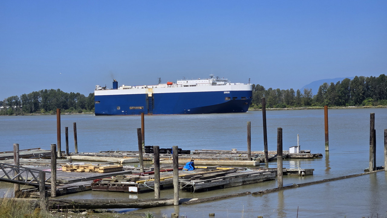
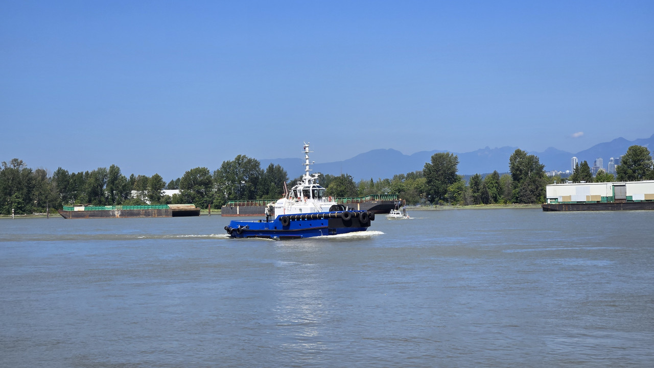
Dropping down onto River Road, and today's ships colours were blue and white...


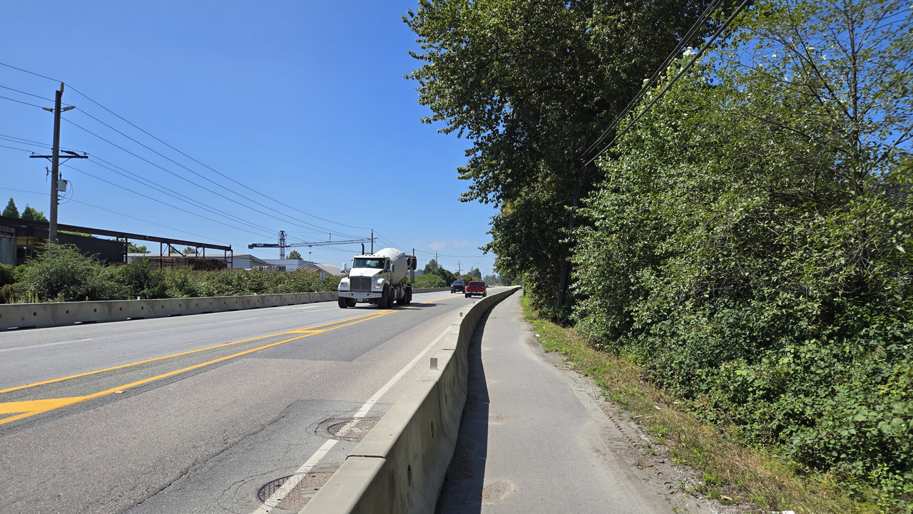
I wish the entire road along here was separated like this, but sadly, no...


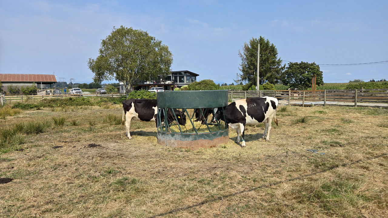
Took a different road south through some farming/rural properties...


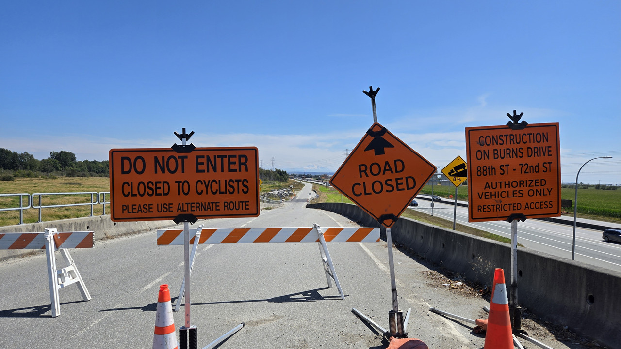
What... AGAIN?!!???


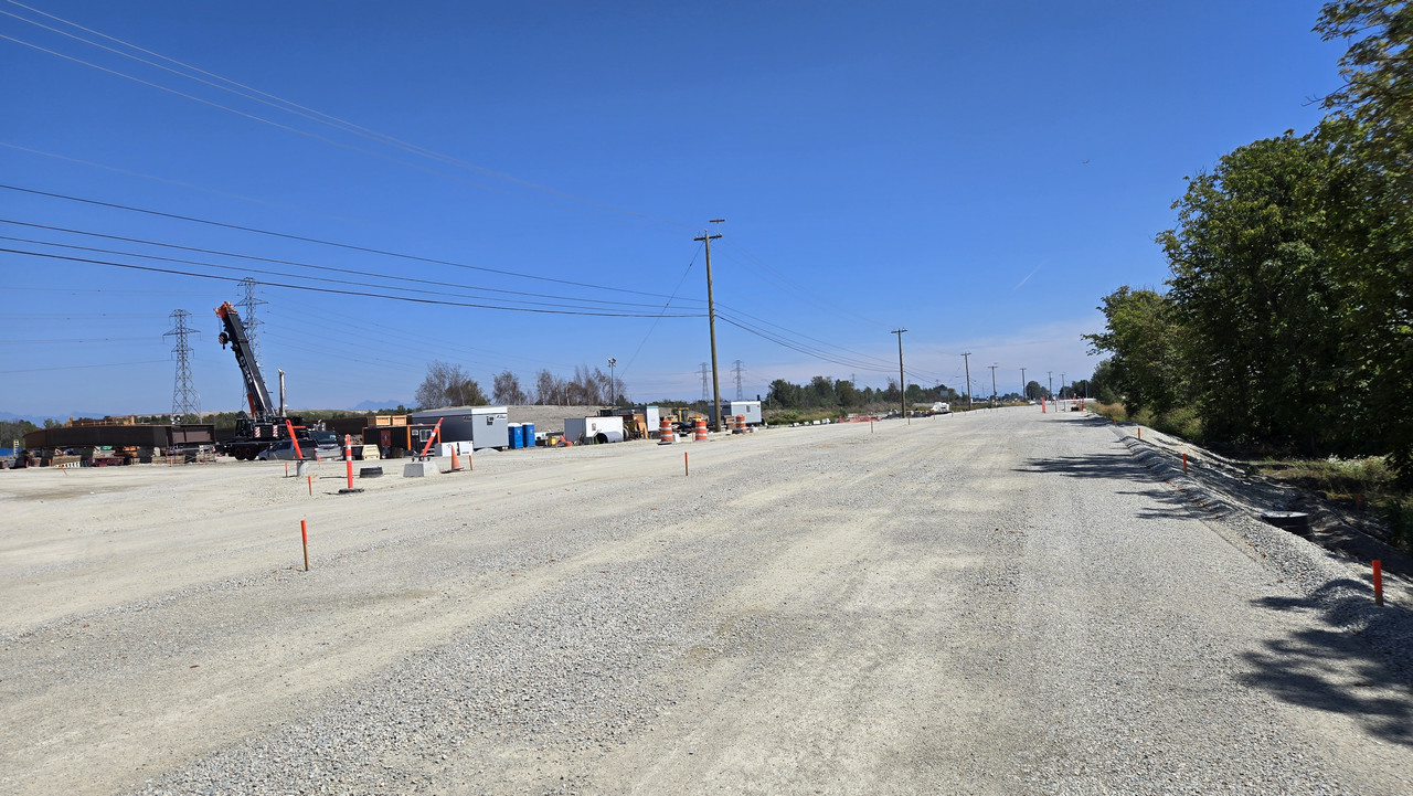
After rerouting I was offered another closed road. This one however didn't pick on cyclists...


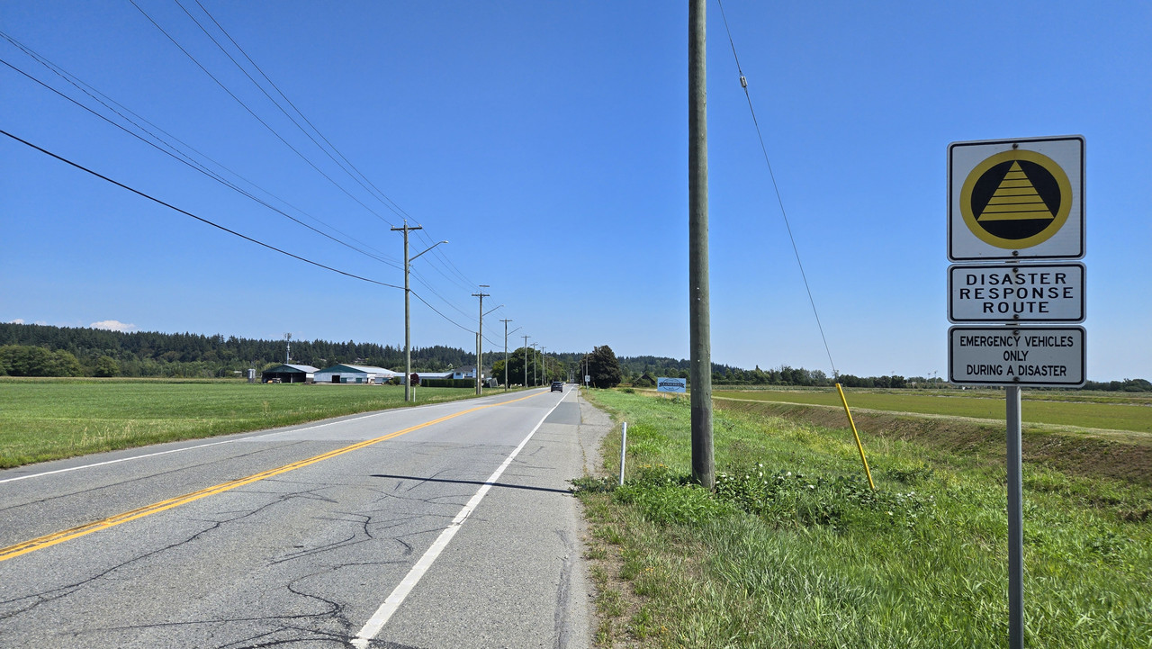
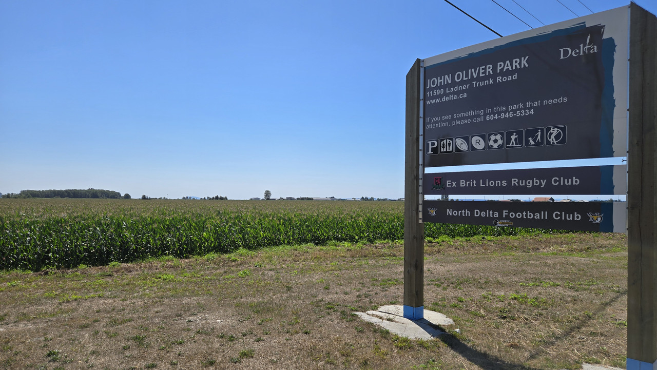
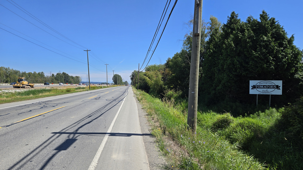
Heading East on Ladner Trunk Road after the closure area...


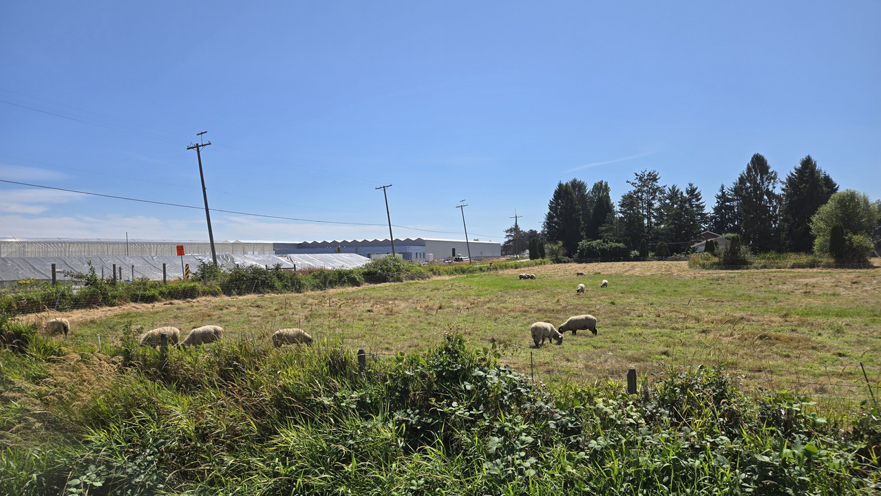
Let's head South here. The sheep said so!


Cornucopia...


Made it to the Mud Bay trail. This time attacking from West to East...


35kms in, and time for a water break...


Heading North...


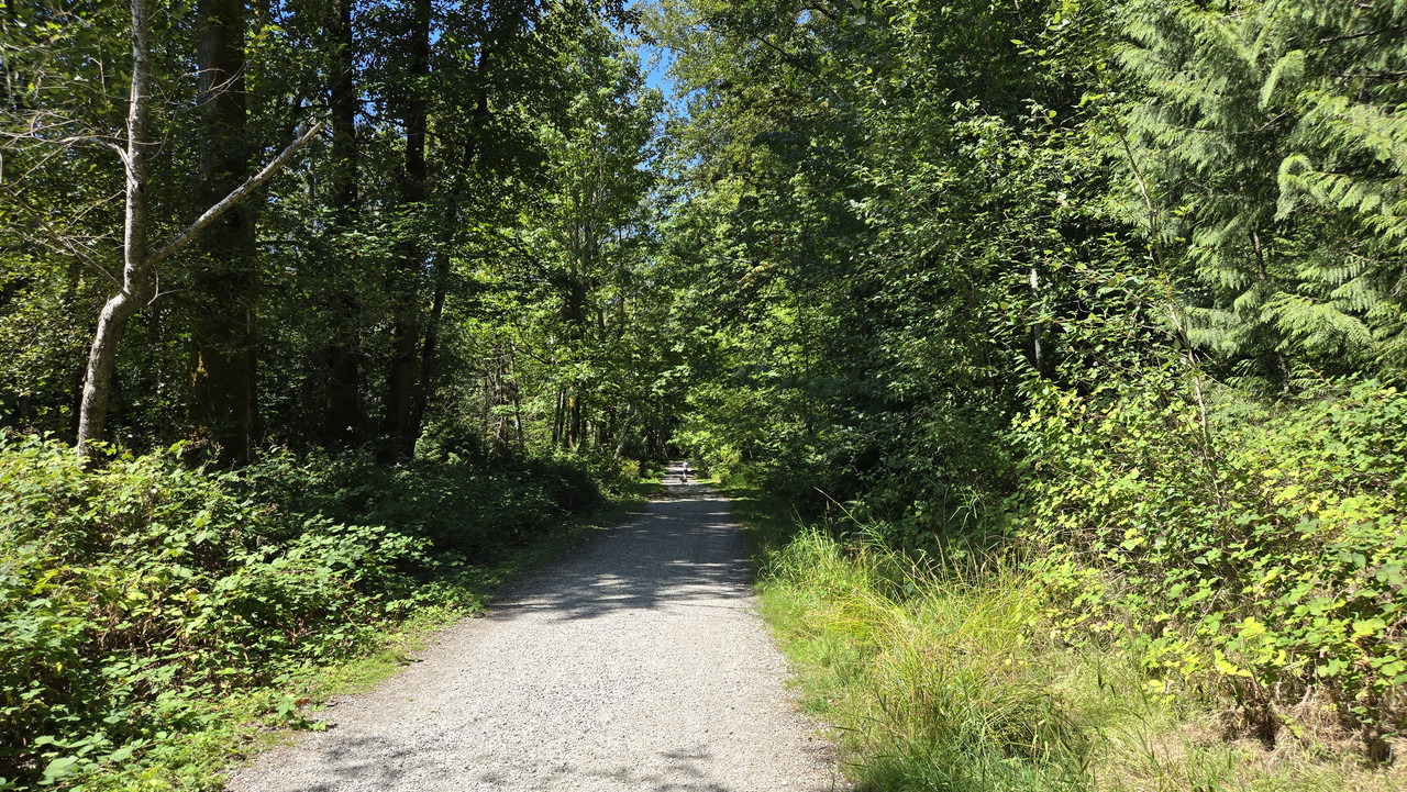
Finish the water at... um... Watershed Park...


Did almost the whole ride in assist level 2. I've been abusing the battery over the last month or so. Getting back to some semblance of whatever "normal" is.
Legs were barking, but felt great overall...

 
Back