RideWithGPS

Kinda impressed that theres a routing system reliable enough to just... use... for bike rides. I use RideWithGPS for planning, but I've always planned the route myself using heatmaps and street view and such and just exported the file to follow while riding. I guess its been a long time since I've asked anything to route for me. I'm sure it really depends on how good the underlying data is; my experience is that sidewalks/paths/trails just aren't as reliably mapped as roads are, but I imagine that varies a lot by locality.

I had a cycling friend who would occasionally do what he called "secret passage rides". He had very extensive local knowledge and would plan routes that made use of lots of little neighborhood connectors and social trails to link up road networks that would otherwise dead end.
 
I've just bought this off Amazon for £9, it works really well, standalone usb powered GPS speedo for my Enduro dirt bike .
Screenshot_20250625-130626.png
 
I have not used a lot of ride planning (yet) on RWGPS. As you know, my preference is to stay off road when possible, but often it isn’t. So far, RWGPS as shown me a lot of the trail systems where I ride. It’s really helped me stay on course when I get off the well-marked rail trail and explore some of the single-tracks. There are a lot of these in some areas.
As I said, RWGPS is good for North America. The system has also very advanced route editing options for subscribers, which are not present in Komoot! That was the reason I had used RWGPS.
 
I use the RideWithGPS planner more to preview contemplated routes than to actually follow them. Generating and analyzing a profile is a good way to reconnoiter a hilly area I've never ridden.

These map layers are especially helpful: RideWithGPS Cycle, Unpaved Cycling, and USGS Topo. Google Maps in cycling mode can sometimes add valuable info.

Previewing total elevation gain per mile gives me a good feel for what I'd be getting myself into. From experience, 60-80 ft/mi is a good workout but still enjoyable with energy left to explore whatever comes up. Over 100 ft/mi, and there'll be a price to pay afterward.

Only one glitch encountered in the planner so far: It's convinced that there's a passable road or bikeway straight down the brush-covered canyon wall near my house. There is not. No visible trace from the road below, and no hint on any map layer — including the USGS topo, which sometimes shows old features no longer present.

But every time I start a route from my house, the planner insists on getting me out of the neighborhood on this phantom path. Have to start at the neighborhood entrance instead.

Anyone understand this glitch?
 
Last edited:
Yes. There is a section of the Central MA rail trail, I forget where it is, that is basically an overgrown brush path. RWGPS will take me off of the state highway and try and put me on this path. On a road bike with 25's. Not only would my bike have been a mess, I'd be covered in ticks. No thanks.
 
@Jeremy McCreary Try the OSM layers to see if something shows there. Or you can check OSM directly and see if there are any tags on the feature
Those OSM layers are pretty interesting but no sign of my phantom exit from the neighborhood.

These layers bring up a pet peeve: Every RideWithGPS layer has its own map symbols, including those indicating trail type. But none provide a legend to explain them.

When I was in geology grad school, you'd be hauled out to the quad and shot for submitting a map with even one symbol left unexplained. And rightly so.

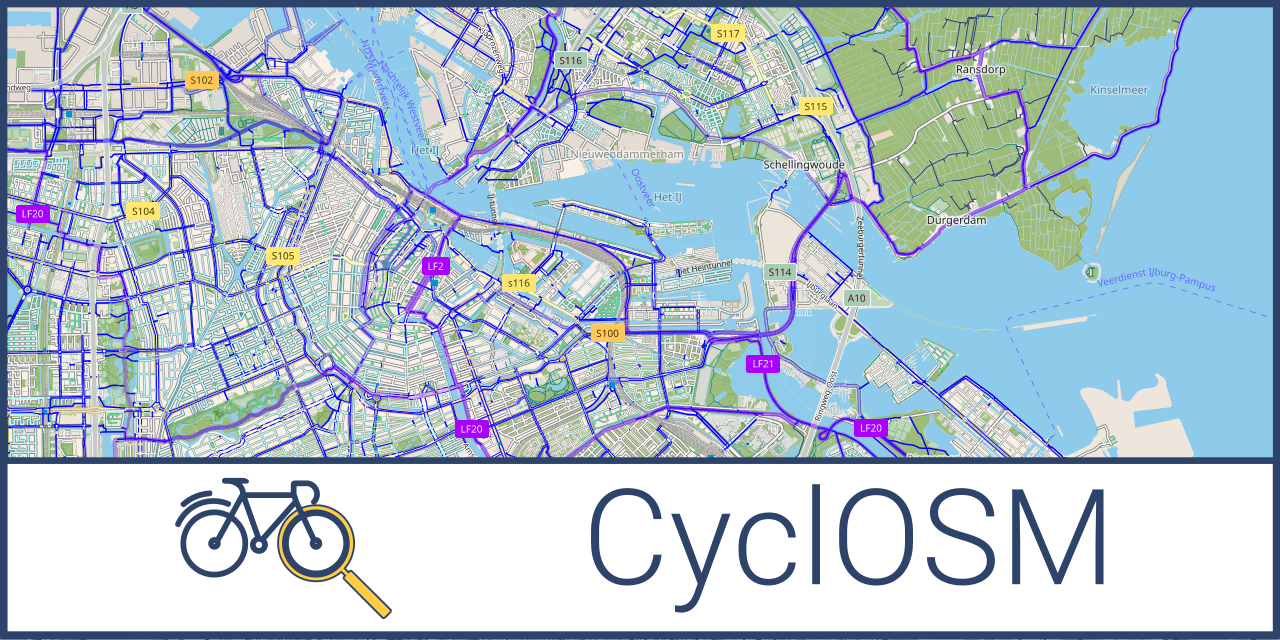
ADDENDUM: Full online legend for the CyclOSM map layer — presumably the one RideWithGPS calls 'OSM Cycle":

 
Last edited:
Yes. There is a section of the Central MA rail trail, I forget where it is, that is basically an overgrown brush path. RWGPS will take me off of the state highway and try and put me on this path. On a road bike with 25's. Not only would my bike have been a mess, I'd be covered in ticks. No thanks.
The only area I’ve ridden (between West Boylston and Barre) that you might be talking about would be at the Holden/Rutland border (in Rutland), Chris. But, that is officially part of the MCRT even though it’s just an unmaintained, single-track section. There’s also quite a bit beyond Barre that’s unmaintained, but I can’t go that far on a single battery charge.
 
I use the RideWithGPS planner more to preview contemplated routes than to actually follow them. Generating and analyzing a profile is a good way to reconnoiter a hilly area I've never ridden.

These map layers are especially helpful: RideWithGPS Cycle, Unpaved Cycling, and USGS Topo. Google Maps in cycling mode can sometimes add valuable info.

Previewing total elevation gain per mile gives me a good feel for what I'd be getting myself into. From experience, 60-80 ft/mi is a good workout but still enjoyable with energy left to explore whatever comes up. Over 100 ft/mi, and there'll be a price to pay afterward.

Only one glitch encountered in the planner so far: It's convinced that there's a passable road or bikeway straight down the brush-covered canyon wall near my house. There is not. No visible trace from the road below, and no hint on any map layer — including the USGS topo, which sometimes shows old features no longer present.

But every time I start a route from my house, the planner insists on getting me out of the neighborhood on this phantom path. Have to start at the neighborhood entrance instead.

Anyone understand this glitch?
Fascinating, Jeremy. Does this show up as a heavy line on the screen when you ride? Is it only on the RWGPS map layer? I believe RWGPS map is crowd-sourced, so someone must’ve dragged their bike through that area… Totally guessing.
 
Not RWGPS, not Komoot but Wahoo, an interesting story.

I now plan my routes in Komoot. As I reached a point on my long ride, it turned out a street was blocked by a private gate (surprise surprise! Usually Komoot knows such things!) I obviously had to return and find a detour. As long as Auto-Route feature is on, Wahoo understands you need a detour route and keeps you on the detour until you found yourself on course again. The detour is shown as a series of pale blue arrows (the normal route are black arrows). (It is a way better than it is in Garmin where a detour is the same red line as on a normal course). I followed the detour until hit a very strange place...


1750887259586.png

There was a nice wooden wall blocking access to a street inside a housing estate. How could a route work there?! Yes, it worked! There was a passage of the width of bike handlebars between that wall and a fence :) Bear in mind: whenever a detour is calculated, it is done by the device on its own map! Good work, Wahoo!
 
Fascinating, Jeremy. Does this show up as a heavy line on the screen when you ride? Is it only on the RWGPS map layer? I believe RWGPS map is crowd-sourced, so someone must’ve dragged their bike through that area… Totally guessing.
Once the planner's laid down the route through my phantom neighborhood exit, it looks like any other route segment. But prior to that, the phantom exit doesn't show up on any layer — in RideWithGPS or anywhere else. It exists only in the mind of the RideWithGPS route planner.

Screenshot_20250625_154828_Ride with GPS.jpg

As seen in the planner, phantom exit from home (blue dot) down to Bataquitos Drive on the right. I suppose it could be a catapult route.

A crowd-sourcing-related map data glitch has some appeal, but hard to imagine anyone getting down that canyon wall through the dense brush with or without a bike. Will ride by for another look today.
 
Last edited:
I believe RWGPS is built on OpenStreetMaps data for it's layers, so by definition it is crowd sourced. It can lead to strange errors, like the underwater trails in my local dive park being tagged as bikeable, but it also means you can potentially correct errors by registering and submitting tag updates in OSM.

Edit to add - RWGPS support says that routing will vary depending on which layer you have turned on. Might be worth exploring.
 
I believe RWGPS is built on OpenStreetMaps data for it's layers, so by definition it is crowd sourced. It can lead to strange errors, like the underwater trails in my local dive park being tagged as bikeable, but it also means you can potentially correct errors by registering and submitting tag updates in OSM.
Thanks, will definitely look into reporting my phantom neighborhood exit, starting with a call to RideWithGPS tech support. Helpful folks.

Are you sure those dive park trails aren't bikeabke in scuba gear? Maybe with a weighted MTB?
;^}
 
Edit to add - RWGPS support says that routing will vary depending on which layer you have turned on. Might be worth exploring.

Yes, it will. Sometimes in surprising ways.

Any mapping product is going to suffer from problems like this because maps are not the terrain.

Sometimes the route gods smile upon you.
Sometimes they smirk.
Sometimes they sneer.
Sometimes they snarl.

It is part of riding learning how to roll with those little (but sometimes huge) challenges.
 
The only area I’ve ridden (between West Boylston and Barre) that you might be talking about would be at the Holden/Rutland border (in Rutland), Chris. But, that is officially part of the MCRT even though it’s just an unmaintained, single-track section. There’s also quite a bit beyond Barre that’s unmaintained, but I can’t go that far on a single battery charge.
I found it. It was on the way to Barre center, maybe 8-10 miles out? Coming from the west after going through Ware and Gilbertville. The detour was off of Route 32 East.
 
I found it. It was on the way to Barre center, maybe 8-10 miles out? Coming from the west after going through Ware and Gilbertville. The detour was off of Route 32 East.
Ah. Got it. No, I’ve never been out that far.
 
Back