jabberwocky
Well-Known Member
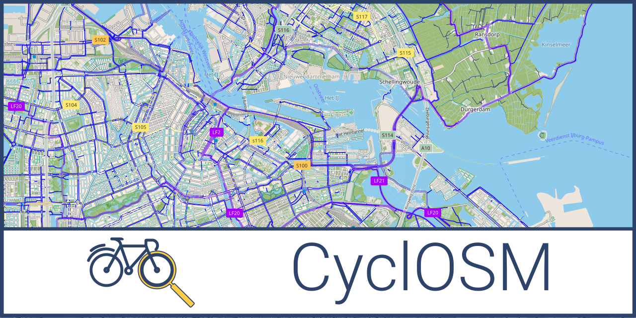
Kinda impressed that theres a routing system reliable enough to just... use... for bike rides. I use RideWithGPS for planning, but I've always planned the route myself using heatmaps and street view and such and just exported the file to follow while riding. I guess its been a long time since I've asked anything to route for me. I'm sure it really depends on how good the underlying data is; my experience is that sidewalks/paths/trails just aren't as reliably mapped as roads are, but I imagine that varies a lot by locality.
I had a cycling friend who would occasionally do what he called "secret passage rides". He had very extensive local knowledge and would plan routes that made use of lots of little neighborhood connectors and social trails to link up road networks that would otherwise dead end.
I had a cycling friend who would occasionally do what he called "secret passage rides". He had very extensive local knowledge and would plan routes that made use of lots of little neighborhood connectors and social trails to link up road networks that would otherwise dead end.


") Bear in mind: whenever a detour is calculated, it is done by the device on its own map! Good work, Wahoo!
Bear in mind: whenever a detour is calculated, it is done by the device on its own map! Good work, Wahoo!